Whorlton Castle and Church from Swainby
6 miles Cool and misty
Low cloud over the hills meant we should aim for a low level walk today and at this time of year we always seem to stray towards this particular walk. We parked at the roadside in Swainby and
before crossing the river we noticed a restored pinfold, similar to the
one at Osmotherley. A pinfold is where stray animals were kept until they were reclaimed by their owners after payment of a fine.
 |
| Today's walk from The Walker's Guide to the Cleveland Hills |
 |
| Pinfold |
 |
| Swainby from the pinfold |
We then walked up the high street and turned left into a footpath just before the church.
This footpath passes along the back of
houses and we quickly left Swainby, which Tom Scott Burns informs us
means 'Swain's Farm', from the old Norse name Sveinn. Our footpath soon
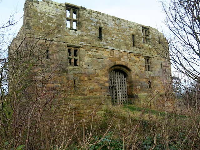
joined a lane which took us very quickly to Whorlton Castle. TSB tells
us that there have been a number of castles on this site, even before
the Domesday Book which records it as Wirueltun in 1086. William the Conqueror
gave the manor to Robert Count de Mortain, and then it passed into the
hands of the de Meynell family. The castle was surrounded by a deep
moat over which was a drawbridge. In 1323 Edward II was known to have
stayed at Whorlton Castle while hunting deer in North Yorkshire and
during the Cromwellian period Royalists held the castle and were
bombarded by Roundheads from Whorl Hill to the East and Toft Hill to the
West.
 |
| Turning off the high street ... |
 |
| ... into a path behind houses |
 |
| Whorlton Castle gatehouse from the road |
 |
| Looking towards the keep |
 |
| Inside the castle |
 |
| The castle's Norman keep |
 |
| The rear of the gatehouse |
All that remains of the castle are the gatehouse and what is left of the keep.
A few yards further along the tarmac lane brought us to the old Saxon church of Holy
Cross. There is a tale that an underground
passage links the castle to this nearby church and
we decided to stop off to have a look round. The church was locked and
we peered through the grill in the chancel door. We could just see the
bog oak effigy of the second Lord Nicholas de Meynell who died in 1322,
as described by TSB. There are some very interesting tombstones dating from the early 1700s.
 |
| The old Church of Holy Cross |
 |
| Bog oak effigy |
 |
| 'In perfect hilth he went from home, and little thought his glass was run, but dying in so short a space, I hope his soul in a good place' |
 |
| 'Remember man as thou goes by as thou art now so wonce was I As I am now so must thou be remember man that thou must die' |
 |
| The rear of the old church |
We returned to the lane and followed it
to the junction with Whorlton Lane, where we climbed a stile into fields
and headed straight towards Whorl Hill, which dominates the skyline.
The field paths were not as muddy as we had expected, perhaps today's
strong cold wind had dried them somewhat.
A steady climb took us into the trees of
Whorl Hill (old Norse 'hvirfill' - 'high hill with a rounded top') and
we continued to climb until our track levelled out and we
circumnavigated the hill, just inside the tree line. TSB informs us
that in 1810 one of Britain's largest hoards of Roman silver coins
(weighing 2 stones) was dug up on Whorl Hill by a local farmer whilst
ploughing his field. We followed the path with a fine view down to
Swainby through the trees, until we dropped away from the main path to
exit the woods at Bank Lane via the garden of a bungalow.
 |
| Sheep in the turnips |
 |
| Turn right at the farm... |
 |
| ... to climb Whorl Hill |
 |
| Turning off the main path.... |
 |
| ... to reach Bank Lane |
We now walked up Bank Lane towards Live Moor and Round Hill, neither of which we could see through the low cloud. Reaching the trees of Faceby Plantation a short sharp climb brought us to a path below Round Hill, and here, sheltered from the wind, we sat to enjoy our coffee and scones.
 |
| Climbing Bank Lane |
 |
| Towards Faceby Plantation |
 |
| A sharp climb through the trees... |
 |
| ... brought us to the moor gate |
 |
| We followed the path between the plantation and Round Hill |
 |
| ... and had coffee in the shelter of these trees |
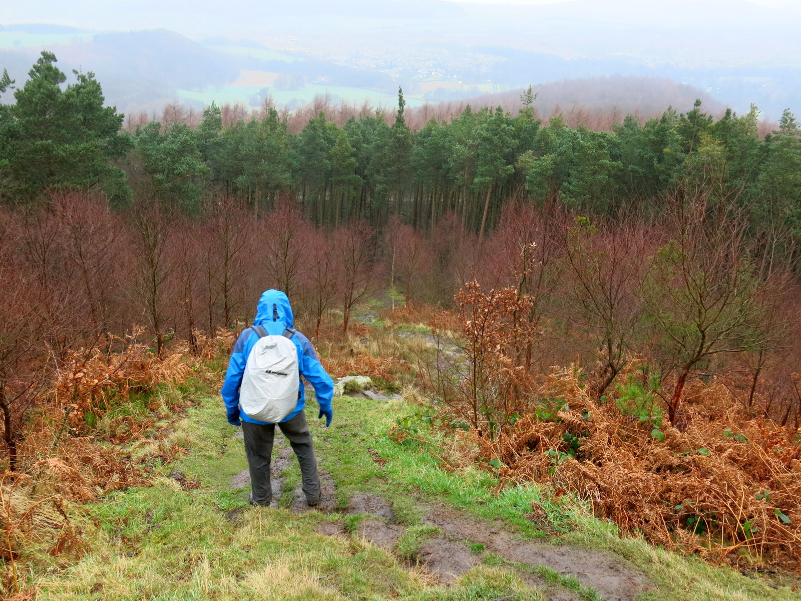
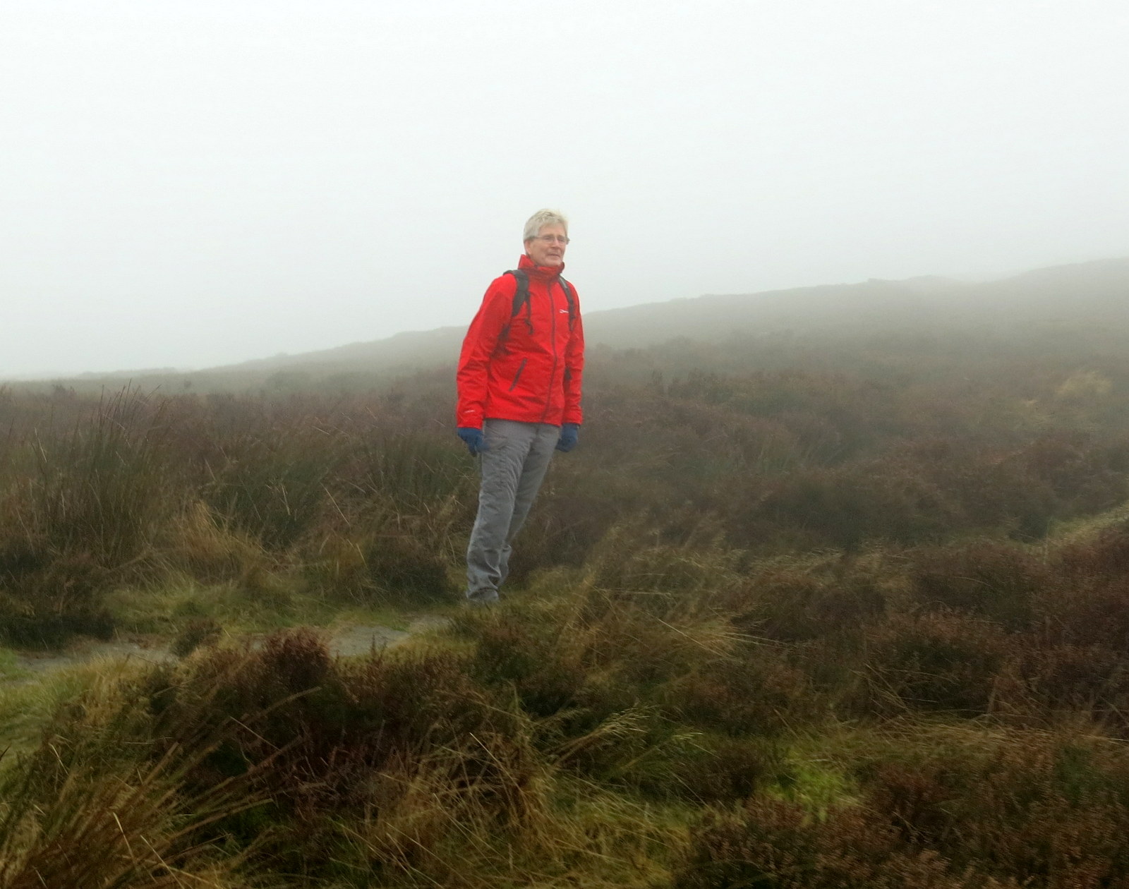
We now climbed once more, to reach the moor top and the stone path of the Cleveland Way. We turned right and walked into a cold head wind, following the Cleveland Way through the mist with no views whatsoever.
 |
| Climbing to Live Moor |
 |
| We reach the Cleveland Way |
 |
| Following the Cleveland Way through the mist |
|
|
We
descended down a slippery slope to Huthwaite Green where we were
surprised to see an old railway goods vehicle at the side of the path.
This reminded us that the mineral railway once ran up this valley into
Scugdale, although little trace can be seen of it now.
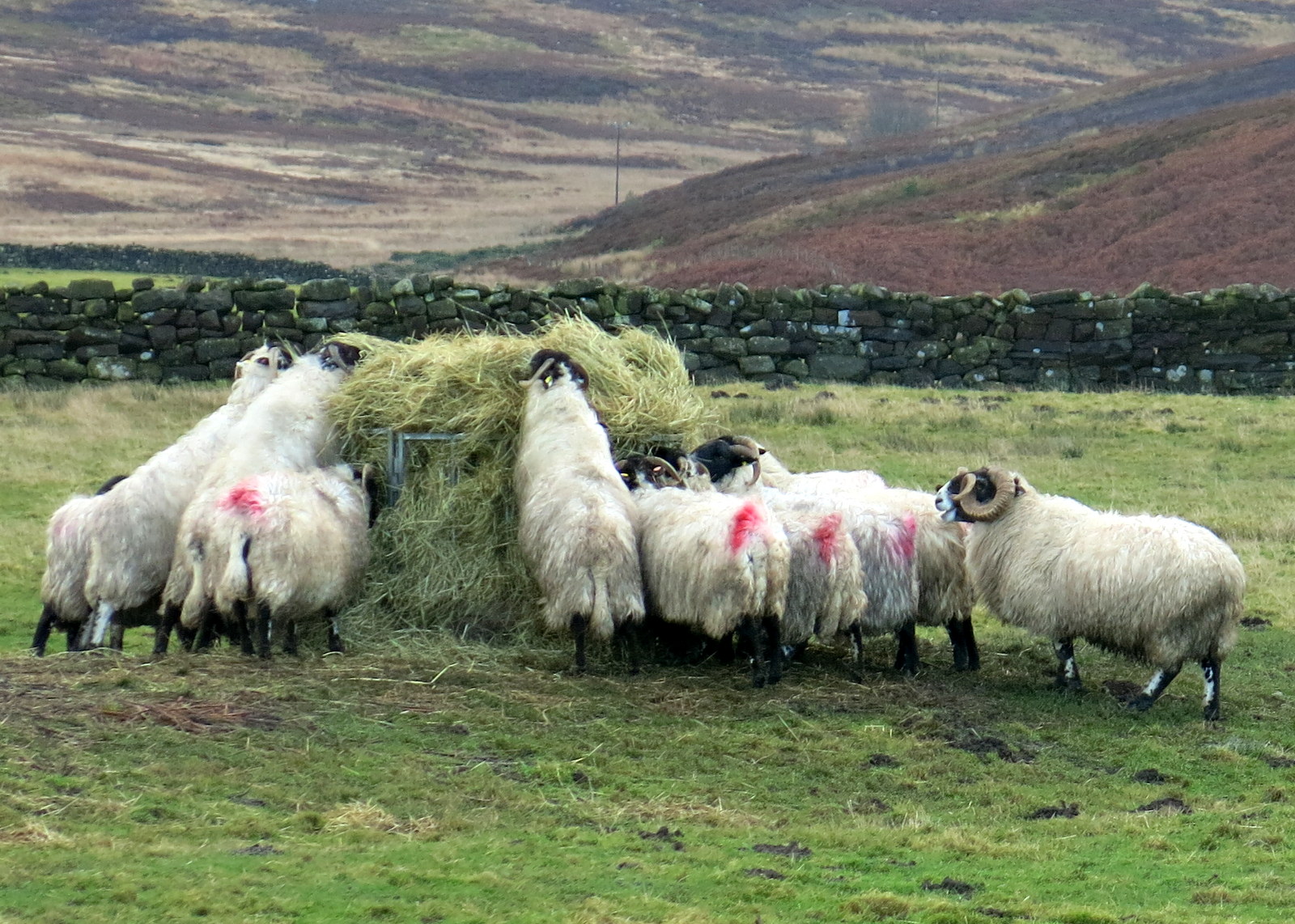
We crossed the tarmac of Scugdale Lane and passed Hollin Hill Farm where eggs and honey were for sale and wondered who passes this spot to buy them?
 |
| We glimpse Whorl Hill through the mist |
 |
| The trees of Huthwaite Green.... |
 |
| ... and a tricky descent on wet stone |
 |
| Old railway wagon |
 |
| Eggs and honey for sale at Hollin Hill Farm |
The lane led us over the ford at Scugdale Beck, where it seemed that recent flood water had left debris, and into a field, which we crossed still following the Cleveland Way, to reach the trees of Clain Wood.
 |
| Sheep at Hollin Hill Farm |
 |
| Ford and flood debris at Scugdale Beck |
 |
| The Cleveland Way path to Clain Wood |
 |
| Obstruction in Clain Wood |
We followed the Cleveland Way through the woods, at times walking parallel with the dismantled railway, until we reached the tarmac of the Sheepwash to Swainby road.
As we descended along this road we saw a stoat run across the road in front of us, leaving its prey, a rabbit taking its last breaths. Looking at the rabbit we saw that its neck and vertebrae had been bitten through. We were sorry for the rabbit but there was nothing we could do and we walked off leaving it, no doubt for the stoat to return to.
 |
| Efficiently executed |
We walked down the hill to Swainby, passing a field containing attractive Southdown 'teddy bear' sheep and some Herdwick sheep, both unusual for this area.
Having seen the old Church of Holy Cross at Whorlton we decided to pop in and see the new Church of Holy Cross, in Swainby, which was built around 1875- 1877, to replace the old church at Whorlton. The church was open to visitors and had been decorated for Christmas.
 |
| Weather vane at Swainby |
 |
| Southdown sheep |
 |
| ... and Herdwicks |
 |
| Footballer weather vane |
 |
| Looking down to Swainby Village |
 |
| Church of the Holy Cross, Swainby |
 |
| Looking towards the altar |
 |
| The altar window |
 |
| The rear of the church |
Leaving the church we passed the Old Parochial School of Whorlton and wondered, not for the first time, where Whorlton begins and Swainby ends.
 |
| Whorlton Parochial School |
Continuing down the High Street we came to the Black Horse Public House, where the festive lights enticed us inside to enjoy a pint of Black Sheep and a chat with the landlord.
 |
| The Black Horse, Swainby |
 |
| Inside the Black Horse! |