Captain Cook Country from Great Ayton
8 miles Sunny and cold
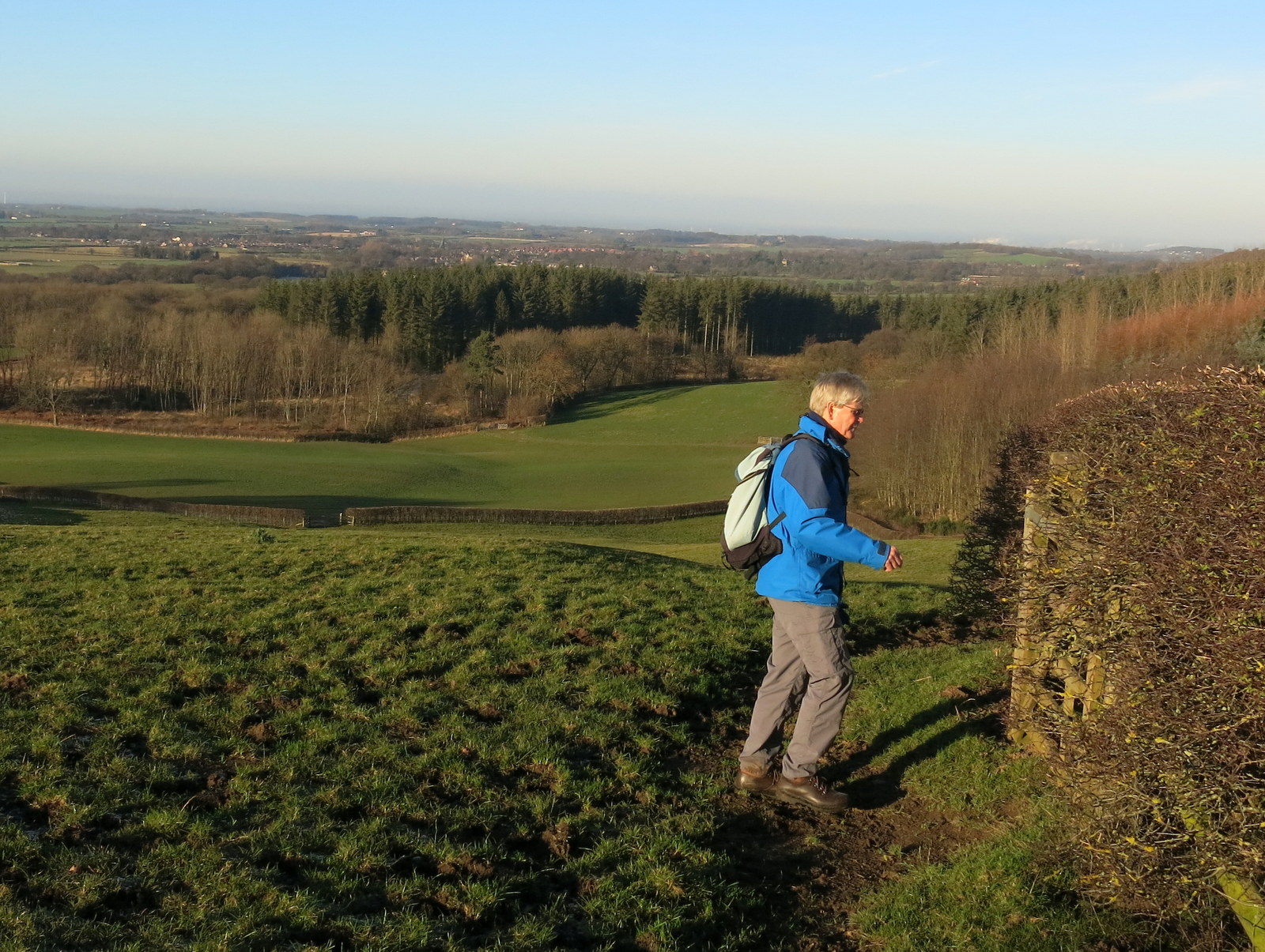
We parked on Great Ayton High Street near to Suggitts Cafe and crossed the River Leven by the steel bridge opposite the cafe. We paused briefly to admire the old pissoir which has been located near the bridge as a non-operational feature and painted red for some reason. There were originally three of these and to my recollection they were painted a more tasteful green and I remember being glad of their presence when I was a child and used to cycle to Ayton from Middlesbrough.
Leaving the old urinal we followed the river upstream.
 |
| Today's walk from The Walker's Guide to the Cleveland Hills |
 |
| The River Leven from the metal bridge |
 |
| Old Pissoir |
Tom Scott Burns says in his walker's guide that Great Ayton was known as Canny Yatton in the local dialect and was once the haunt of Au'd Nanny, a notorious witch described in Blakeborough's verse, T' Hunt of Yatton Bridge:
Her naals they were lang an' humped war her back
And baith lugs war pointed, her skin ommaist black..
The exceptionally cold morning meant easy firm going through the fields alongside the river and we soon reached Woodhouse Farm, having just passed by a large deer enclosure. We stopped by the river near the farm to say hello to two geese who are usually at this spot and appear to have survived another Christmas.
 |
| Roseberry from Great Ayton sports field |
 |
| Straight over Cross Lane |
 |
| Crisp going underfoot |
 |
| Following the river, the deer enclosure to our right |
 |
| Most of the deer appear to have chosen to remain in their shed |
 |
| This is the third year we have seen these two geese at this spot |
 |
| Woodhouse Farm |
After the farm we crossed a field containing horses, then a bridge over the river to reach Easby Lane, which we followed through Easby to cross the railway bridge just as the Whitby train passed underneath.
 |
| Low Easby |
 |
| Weather vane at Low Easby |
 |
| We follow the tarmac lane.... |
 |
| ... over the railway bridge |
We stayed on the tarmac road for half a
mile, carefully avoiding patches of black ice, before crossing a way-marked stile into fields just before Borough
Green Farm, to begin a steady climb to Easby Moor.
 |
| Leave the lane at this stile... |
 |
| ..cross the field and turn right through a gate |
 |
| .. past a flock of Kerry Hills |
 |
| Welsh hill sheep with their strange panda faces |
 |
| Climbing to the moor |
Reaching the Moor Gate we turned right
to follow our path below the moor to Mill Bank Wood. Entering the wood
we walked for over a mile. TSB says that
the wood is named after an old Bleach Mill where woollen cloth was
'fulled' in order to soften and shrink it to a warmer, closer weave. The
mill was destroyed on the night of 21st July 1840 when heavy rains
caused enormous volumes of water to burst two fishponds at Kildale Hall.
A wall of water 40 feet high carried away two stone bridges, a corn
mill, sluice gates, an earth dam and the bleaching mill, as it rushed
towards Great Ayton.
We came out of the woods by Bankside
Farm and joined the tarmac lane. We sat on a convenient wall in front
of a barn to enjoy our coffee and scones while looking down towards
Kildale and the old Church.
 |
| Through the moor gate |
 |
| Walking through Mill Bank Wood |
 |
| Kildale appears below |
 |
| A long walk through woodland |
 |
| Time to change their name? |
 |
| We reach Bankside Farm |
 |
| Kildale Church from our coffee stop |
While we enjoyed our coffee we could hear sheep coughing in the barn behind us and I was able to reach up and take a photo into the barn to show us what we could hear but not see, some pregnant ewes over-wintering in the warm building.
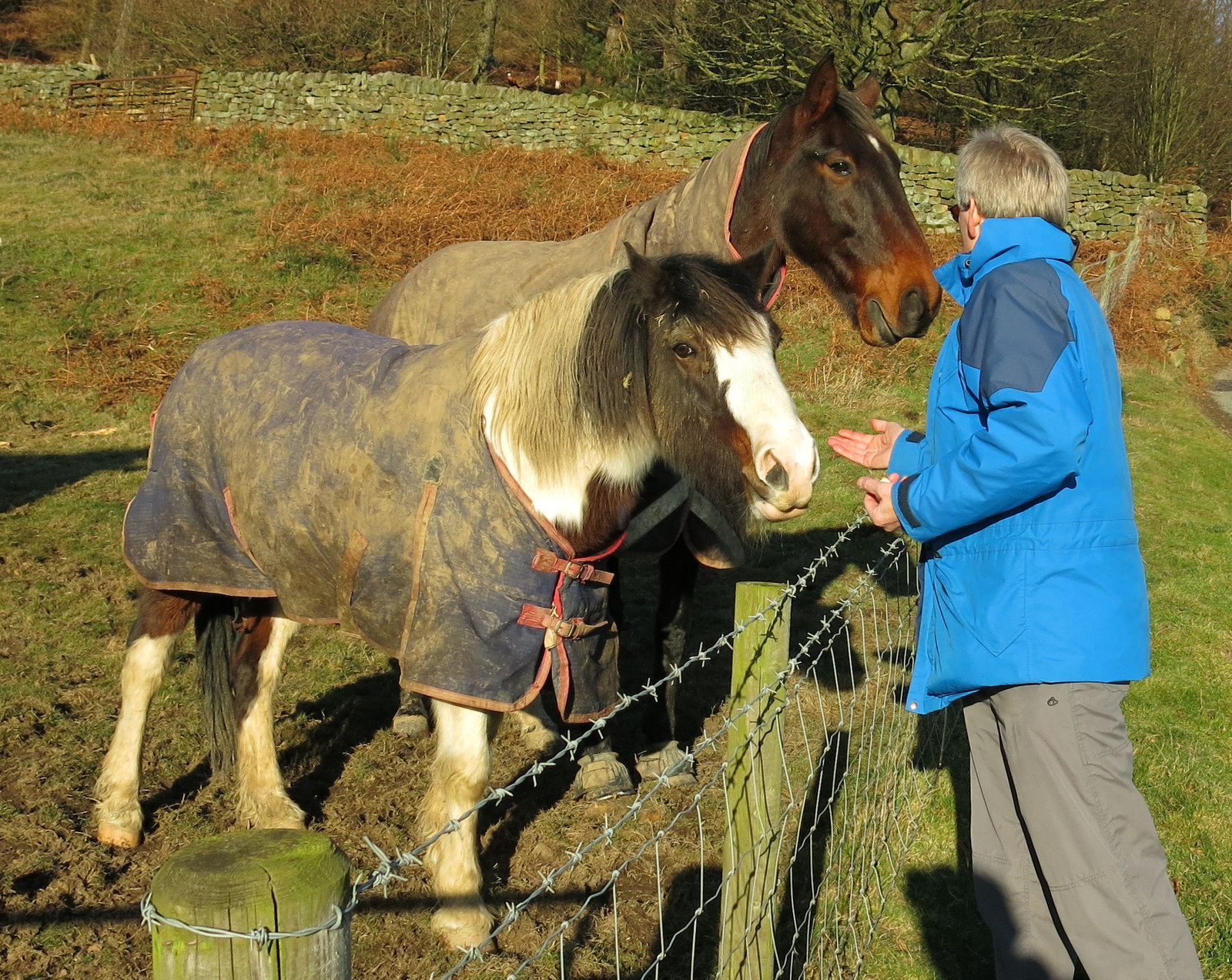
As we left we came to two horses who had been patiently waiting for their turn and Clive fed them apples followed by Jakeman's Throat and Chest lozenges, a Christmas treat!
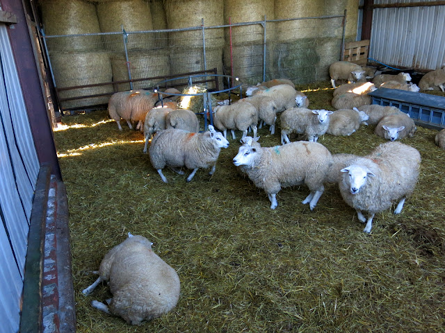 |
| So that's where the coughing is coming from |
 |
| Kildale Hall from our coffee stop |
 |
| "Any apples, sweets... er ... anything?" |
 |
| Apples all round |
We followed the farm road uphill from
Bankside Farm until we came to a fork where we turned left to walk
through the trees of Coate Moor. A gentle climb along a frosty path
led us to Captain Cook's Monument and we were surprised at the number of Christmas Holiday walkers here and also looking across, on Roseberry Topping. Good for them!
 |
| Logging on Coate Moor |
 |
| Cleveland Way sign keeping warm |
 |
| Approaching the monument |
 |
| Hang Glider at Easby Moor |
 |
| Captain Cook's Monument |
TSB notes that the monument was built in 1827, the foundation stone being laid by Robert Campion of Whitby.
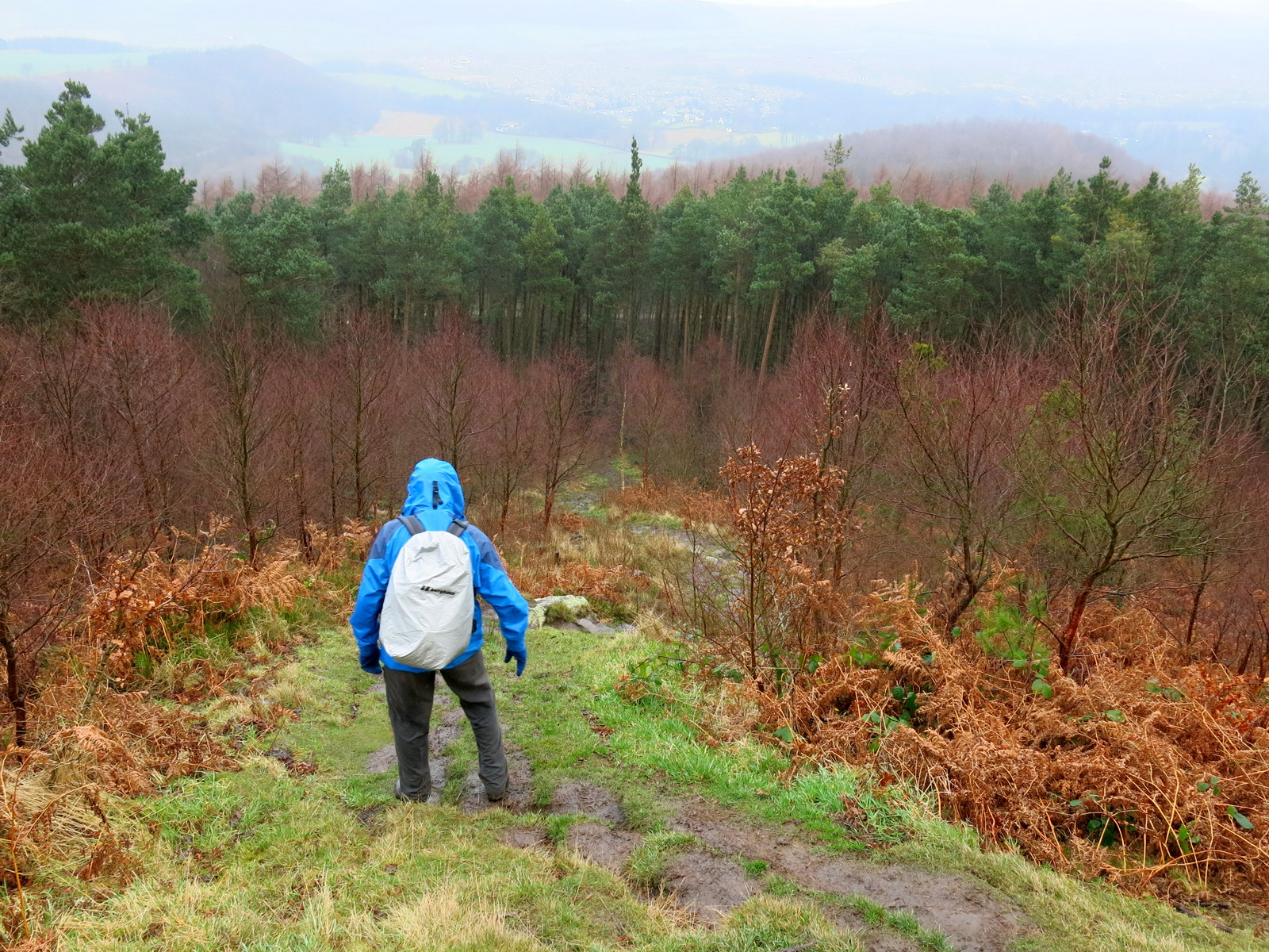
Walking down from the monument we passed the remains of old workings that is the site of Ayton Ironstone mines, worked by Pease and Partners from 1909 to 1928.
We took care as we descended through the trees and followed the track to pass some white cottages on the Gribdale Gate road.
 |
| Walking away from the monument to the edge of Easby Moor |
 |
| Walking past the ironstone workings |
 |
| Steep descent through trees |
 |
| Roseberry Topping to our right... |
 |
| ... and Great Ayton below |
 |
| Passing Gribdale Gate Road |
A steep climb followed, up the tarmac track to Aireyholme Farm where there was a fine view over to Roseberry. We could see lines of people climbing and descending the topping.
Aireyholme Farm is famous for being the workplace of Captain Cook's father, who was bailiff there in 1736.
 |
| Crossing Gribdale Gate Road to Aireyholme Lane |
 |
| Weather vane at the cottages |
 |
| Old farm sign |
 |
| Duckpond at Aireyholme Farm |
 |
| The farm buildings |
Looking into a barn at the farm we saw a new born calf with its mother, looking warm and secure in the hay.
Our path now took us through two farm gates to Aireyholme Cottage where we turned sharp left after pausing to get our best yet view of Roseberry and its festive hoards.
 |
| Lots of walkers on Roseberry Topping |
 |
| Aireyholme Cottage |
 |
| Sheep enjoying the sun at Aireyholme Farm |
This track took us to Cliff Rigg Quarry, where whinstone was mined. This hard reddish stone is the remains of a volcanic explosion on the west coast of Scotland about 58 million years ago, and is the only such stone on the Yorkshire moors.
 |
| Cliff Rigg Quarry |
 |
| Cliff Rigg Quarry |
|
Descending from the quarry we crossed the railway line once more before following the path, usually muddy but today still crisp with frost, alongside Cleveland Lodge and into Great Ayton.
We walked along the High Street, collecting fresh scones from Petch's Pie Shop before popping into the Royal Oak and enjoying a pint of Wainwright Ale. A good end to a good day's walking.
 |
| Alongside Cleveland Lodge |
 |
| Cheers! |