The Drove Road and Windy Gill Ridge from Boltby
7 miles Rain and mist
We drove through Boltby to find a lay-by at the side of the road where we parked. After booting up we continued walking along the road away from the village, until we turned left at a footpath sign into to a farm track to Lunshaw House Farm.
 |
| Today's walk from The Walker's Guide to the Hambleton Hills |
 |
| The view from our car park |
 |
| Turn left off the road here |
Before
reaching the farm we
crossed a stile on the right to follow a field path signposted Low
Paradise. Our path followed the camber of the hill for some time,
meaning we were walking at an awkward 45 degree angle, until it dropped down into
woods before Lunshaw Beck.
Just before the woods we passed through a field containing three horses, who fortunately didn't spot us until we reached the gate to leave the field, and galloped over to see us. We were happy to make a fuss of them now we were safely on the other side of the fence.
 |
| Cross the stile signed Low Paradise |
 |
| Field path is at an awkward camber |
 |
| Sometimes our path disappeared into the bracken |
 |
| We just got through the gate in time. Clive digs out a Jakeman's Throat pastel |
 |
| "Wow!" |
Crossing
the beck we started a mile ascent which TSB describes as a 'muscular
climb'. We passed by the always well ordered Low Paradise Farm and continued to climb to reach
Oak Cottage, all the while listening to the sound of furious barking. As we reached the cottage we saw the culprits, fortunately well secured.
 |
| On the 'muscular climb' to Low Paradise |
 |
| Low Paradise Farm |
 |
| Well ordered Low Paradise Farm |
 |
| The dogs at Oak Cottage give us a noisy reception |
 |
| Pet lambs come running hopefully to greet us |
The track climbed relentlessly upwards until we reached High Paradise Farm where we were delighted to see a sign advertising their tea room. We stopped here for coffee and cake, a lovely spot with friendly service and excellent coffee.
 |
| Hmm, it says 'walker's tea room'.... |
 |
| We decide it's coffee time! |
 |
| Sign at High Paradise |
Sadly the coffee was soon gone and it was time to return outside to the rain and mist. We walked away from the farm towards Sneck Gate and the moor. Passing through the gate we were now on the Hambleton Drove Road, which we followed left, soon reaching forest.
We walked
on through the trees for some time and then, just before reaching the
ruins of Steeple Cross (first mentioned in 1246 but no longer a cross, now just a 2 feet
high piece of stone) turned left to enter the plantation's trees.
 |
| We watched this thrush tapping a snail on a stone outside the cafe |
 |
| Leaving High Paradise towards Sneck Gate |
 |
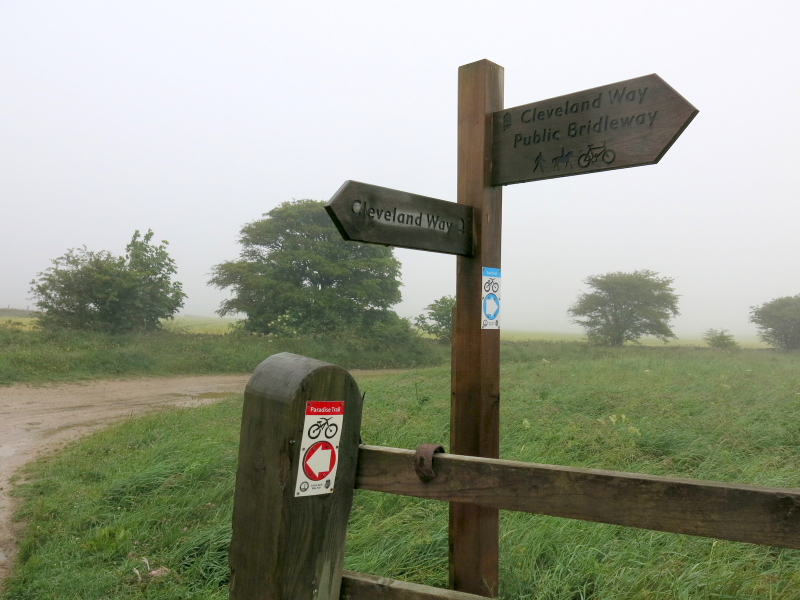
| We join the Cleveland Way at Sneck Gate |
 |
| On the Hambleton Drove Road |
 |
| The weather deteriorates further as we approach Steeple Cross |
We walked through the forestry plantation and emerged at Gallow Hill, where we had a view towards Cowesby village through the mist.
 |
| Turn left to a steep downward path |
 |
| Our path almost disappears in new saplings |
 |
| Gurtof Wood |
We turned left at Gallow Hill and followed the broad path to Windygill Ridge. To the left of our path was a forestry
plantation and ahead a view across the Vale of Mowbray and to the
right Black Hambleton and the hummock of Seta Pike.
Just after
passing Seta Pike our path
turned left into a steep forestry path. The track was rather faint and
also very boggy; the steep descents proved very slippery and progress
was slow. The path levelled out and we picked our way through Gurtof
Wood, looking down on Gurtof Beck which ran below us. Quite a lot of
trees had been blown down and a few had fallen
awkwardly across our path making diversions necessary.
At one point Clive grabbed a tree as he slid on the path and it tottered dangerously. It was obviously rotten and about to fall so he gave it a shove and down it came, where it could do no harm.
 |
| Descending through Gurtof Wood |
 |
| A rotten tree totters dangerously |
 |
| "Timber!" |
We walked through the woods for about a mile until we reached a gate leading into fields.
We then walked through fields using way-marks as guides until we joined a wide track. We followed this to a green lane which, after passing by a smallholding with sheep and a horse, led us to Boltby.
 |
| Following the path across fields |
 |
| Green lane to Boltby |
 |
| Pet sheep |
 |
| Another horse succumbs to the delights of a Jakeman's Throat and Chest lozenge |
 |
| That hit the spot! |
Our path exited at the west end of
Boltby village and we turned left to walk along the road. Set back from
the road is Holy Trinity Church and finding it unlocked we entered for a
look around. The church is in very good repair considering that as TSB says,
the church was first erected in 1409 and rebuilt in 1859. We were very impressed by the timber cross sections in the roof which were striking to look at.
 |
| Boltby |
 |
| Holy Trinity Church |
 |
| The gate is obviously the work of Thirlby's wren man, Bob Hunter |
 |
| Striking roof beams |
 |
| Looking towards the altar |
 |
| Altar window |
 |
| Looking to the rear of the church |
 |
| One of the 'older' gravestones |
We were surprised to see that the churchyard only
seemed to contain fairly recent graves. A further look at our
guidebook 'The Walker's Guide to the Hambleton Hills' explained why:
apparently it was the custom until Victorian times to carry the dead
from Boltby for burial at Felixkirk, "swathed in linen and uncoffined."
Unfortunately the book does not say why this happened when they had a perfectly good church in Boltby.
We continued through the village and then up the steep climb back to our car.
A good walk despite poor weather.
 |
| Looking at Boltby from Holy Trinity Church |
 |
| Clive crossing the old pack horse bridge |
 |
| The old school house, Boltby |