Newton-under-Roseberry to
Old Nunthorpe
7 miles Cold and grey
We parked at the same lay by as last week, close to the village of Newton under Roseberry. We walked back through the village past the King's Head pub. Tom Scott Burns informs us that the King's Head dates back to 1796 and was run by an old woman known as 'Old Gag Mally Wright' who started a fair in the village and was a 'handy body' who acted as midwife and also laid out the dead. Locals said she 'tied up t' jaws of t' dying afore tha wur deead'. The fair developed into a kind of disorderly annual orgy attended by the lowest classes and in 1901 the Vicar of Newton, the Rev. Tugman, successfully petitioned for it to be suppressed.
 |
| Today's walk from the Walker's Guide to the Cleveland Hills |
 |
| We meet a rival walking group in the car park. Hello Colin! |
 |
| The King's Head |
 |
| The Old Village Hall |
We turned left into Roseberry Lane and walked towards the 'Cleveland Mini Matterhorn' as Tom Scott Burns fondly describes Roseberry Topping.
The name Roseberry has puzzled many historians. In 1119 it was Outhenesbergh, then Osenburgh in 1424 and Roseberye in 1657. The hill was mined for iron ore between 1880 and 1926 and in 1912 the mining caused a landslip that gave the hill its distinctive shape. We climbed the hill then turned west to walk down to the folly built on its western slope.
 |
| We begin the climb |
 |
| Icy paths needed care |
 |
| We walk beneath the rocky face of Roseberry |
 |
| Wilson's Folly |
TSB tells us that a Northumbrian princess had been warned by an astrologer that her son Oswy would be drowned on a certain day. To avoid this she took the child to the summit of Roseberry Topping where he would surely be safe from drowning. While she slept the child wandered off and fell down a well situated on the North East slope of Roseberry, fulfilling the prophecy, which led the princess to kill herself. Mother and child were buried together and 'Os by his mother lay' and so the village of Osmotherly gained its name.
 |
| Roseberry from Wilson's Folly |
 |
| Looking down from Wilson's Folly |
We walked down to a gate and entered Newton Woods. The path follows the edge of the wood and then drops down until it arrives at the site of the old incline railway running parallel with Cliff Rigg Quarry. We then crossed the Middlesbrough to Whitby railway line via a stone bridge and on reaching the road turned right to walk along the grass verge to the mountain rescue huts, where we turned left at a footpath sign.
 |
| Newton Woods |
 |
| We descend to the Middlesbrough to Whitby Railway line |
 |
| Turn left at the Cleveland Mountain Rescue Huts |
We walked along this lane which runs parallel to the old rail bed to Langbaurgh Quarry that becomes a path parallel to a ridge with more disused quarries. This ridge is of whinstone (the term for any hard dark coloured rock) and stretches to Quarry Hill Farm.
We came to a stile which was sheltered by trees, and used it as table and chairs to enjoy our coffee and scones with a fine view back to Roseberry Topping.
 |
| The footpath to Quarry Hill Farm.... |
 |
| ... becomes less defined as we progress |
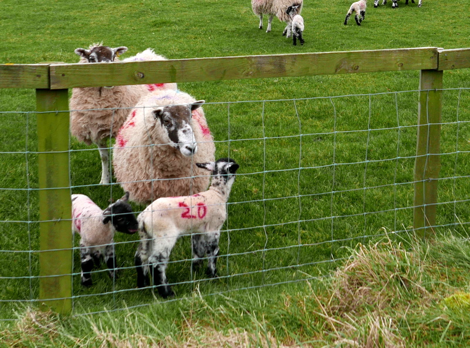
 |
| The tups make way, we are still on the footpath |
 |
| This stile makes a fine table and chairs |
Resuming our walk took us through the grounds of Whinstone View Country Park from where we crossed a bridge over Main Stell and joined fields to pass by the attractive building of Quarry Hill Farm, where we admired two very old Case tractors, still rusting in a small paddock.
 |
| Our path is hidden among the fallen leaves |
 |
| Passing through the grounds of Whinstone View |
 |
| Cross the bridge... |
 |
| .. and walk alongside Main Stell |
 |
| Field path takes us to.... |
 |
| ... Quarry Hill Farm |
 |
| Very old Case Tractors |
Leaving the tractors we crossed the A179 and walked over a field through some stables to the road through Old Nunthorpe. The original name of the village was Torp which was amended to Nunthorpe in the early 12th century in honour of a Cistercian Nunnery. In 1231 the nunnery moved to Baysdale. We walked past Nunthorpe Hall, now a residential care home, and turned right at a signpost to walk through the grounds of Hall Farm. This farm was until recently a working sheep farm but signs show that it was auctioned in 2015 and it now stands empty. It had been part of the Hall estate and its outbuildings had once been impressive compared with other farm buildings.
We were very interested in a mural painted on the wall of one outbuilding, which appeared to show a personal story of the old tenants.
 |
| Walking past Nunthorpe Hall... |
 |
| .. to turn right into farm buildings |
 |
| Impressive outbuildings |
 |
| Ripe for renovation |
 |
| Weather vane at Nunthorpe Hall Farm |
 |
| Interesting mural at Hall Farm appears to tell a personal story |
 |
| Looking back at Nunthorpe Hall as we approach the A172 |
We continued through the farm buildings following a footpath that led us to the A172 which we crossed to enter fields at a sign. This track led us diagonally across a large field to a new farm building, then to the imposing Morton Carr Farm.
 |
| Morton Carr Farm |
TSB reports that Carr is a Norse word for a marshy piece of land, and these lowland meadows which are drained by numerous stells are certainly marshy. We passed by Morton Carr Farm and turned right at its outbuildings and walked across fields towards Eastfield Farm.
Three years ago when Clive and I walked this path we saw two foxes running together near to Eastfield Farm, sadly not repeated today.
 |
| Not very clear so look hard! |
 |
| Recrossing Main Stell |
 |
| Walking alongside Main Stell towards Eastfields Farm |
 |
| Eastfields Farm |
We noticed a new (to us) weather vane of a wild fowl taking off at Eastfields Farm and just after I photographed it a flock of geese passed over the farm roof.
 |
| Weather vane at Eastfields Farm |
 |
| Real ones! |
We walked on following our path through fields and were pleased to see a small flock of Yellow Hammers, now a red listed bird owing to recent population decline.
 |
| Yellow Hammer |
 |
| Crossing the Stell as we head towards Roseberry |
Several more fields brought us to the Middlesbrough to Whitby railway line where we crossed under a bridge. We soon reached stepping stones over Main Stell and the outskirts of Newton-under-Roseberry.
 |
| We need to go under that bridge |
 |
| It looks passable |
 |
| More fields.... |
A walk through a field with horses brought us to St Oswald's Church and the end of our walk.
 |
| Clive has an apple to offer |
 |
| St Oswald's Church |