10.5 miles Sunny
A lovely spring day with sunshine and very little wind tempted us to do a longer walk from The Walker's Guide to the Hambleton Hills.
Tom Scott Burns suggests starting the walk from Arden Hall but we prefer to park at Square Corner (the 'P' top left in the map below) on the Osmotherley to Hawnby road and make Arden Hall our rest spot.
 |
| Today's walk from The Walker's Guide to the Hambleton Hills |
 |
| Black Hambleton from the car park |
Leaving the car we walked southwards along the forest path up the shoulder of Black Hambleton.
Just before reaching a gate we saw a standing stone on the left, bearing the inscription 'Cray Hall Stone'. Tom Scott Burns says that he has been unable to find any further information about this old boundary stone or the hall it refers to, and our modern day Google search has proved equally uninformative.
 |
| Osmotherley from Square Corner |
 |
| The mystery of Cray Hall |
 |
 |
| On Black Hambleton |
After a long climb we walked along the drovers' road known as Hambleton Street for about 2.5 miles, with fine views to our right across to Kepwick, until reaching the ruins of the old drovers' inn that was known as Limekiln House.
 |
| Kepwick Moor and Nab Farm to the right |
 |
| Clive looks at our route from Limekiln House Inn site |
 |
| Another mystery, who was Bert? |
A stone marking the site of the inn was erected a couple of years ago and we left the Hambleton Drove Road at this point to turn left across the moor following a track that led us quickly to Thorodale Valley.
 |
| The hidden valley of Thorodale |
 |
| Steep descent into the valley |
 |
We followed the track through Thorodale Wood then North Moor Wood with brief glimpses of Thorodale Lake below. As the track approached Arden Hall we found ourselves walking through snowdrops which TSB suggests were probably planted by the nuns that occupied this site in the Benedictine nunnery of St Andrew, founded in 1148. All that's left of the nunnery is an old chimney, now embodied into Arden Hall.
TSB says that the name Arden was probably derived from arn, an eagle, and doen, a deep valley - the valley of the eagle.
As we neared the hall we saw little yellow flowers among the snowdrops. These are winter aconites which are somewhat poisonous and also known as wolfsbane. TSB says these were also planted by the nuns to use in preparations of medicine.
 |
| Walking through Thorodale |
 |
| North Moor Wood |
 |
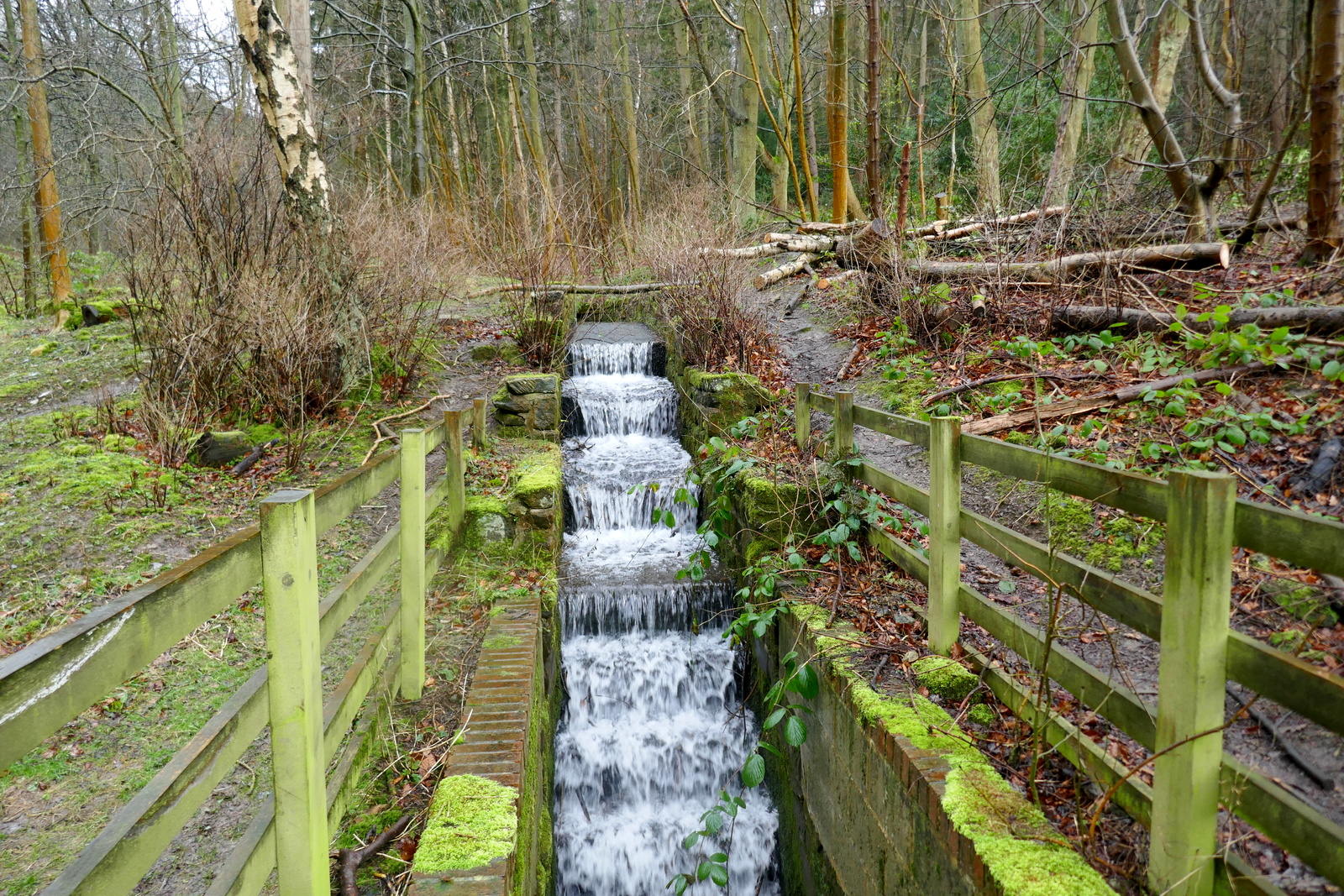
| Our coffee stop |
 |
 |
| Masses of snowdrops |
 |
| Wolfsbane |
 |
| This chap lurked behind us as we had our coffee |
Refreshed we continued along the track to pay a visit to Arden Hall before retracing our steps back uphill to rejoin our earlier path, this time turning right to walk towards Mount Pleasant Farm.
 |
| Arden Hall |
 |
 |
| Front of Arden Hall |
As we walked past Mount Pleasant Farm we had fine views over to Coomb Hill on our right and the rooftops of Arden Hall below.
 |
| North Moor Woods to our left |
 |
| Coomb Hill to our right |
 |
| Arden Hall below |
Walking up from the farm we passed the pretty cottage known as Harker Gates then on into the woods of North Moor. Ahead to our right was the unmistakable profile of Hawnby Hill.
 |
| Mount Pleasant Farm |
 |
| Stock at Mount Pleasant watch us pass by |
 |
| The unmistakeable shape of Hawnby Hill |
 |
| Harker Gates Cottage |
After crossing Eskerdale Beck by a small bridge our path took us past two ruined farms, Brewster Hill and Cow Wath. Although no longer occupied, the outbuildings of Brewster Hill are still in use with both cattle and sheep being penned over winter.
 |
| Crossing Eskerdale Beck |
 |
| Brewster Hill Farm |
 |
| Looks like a casualty of last week's storm |
 |
| Might have been a shock if you were just opening the gate at the time.... |
 |
| Several becks flow down to join the River Rye below |
 |
| Cow Wath |
We continued following the faint path, now with the River Rye running parallel below us until after a couple of miles we passed the ruins of Far House.
 |
| River Rye below |
 |
 |
| Frogspawn |
 |
| Frost on the exposed frogspawn |
 |
| Handsome ram |
 |
| Some moor tramping
Progress was slow on muddy paths as we passed by Low Locker Farm and over a large bridge at Dale Head. Just upstream from this bridge is the source of the River Rye.
|
 |
| We were surprised to see this bridge has been renewed |
 |
| Clive tries out the non-slip pads |
 |
| The source of the River Rye |
 |
| The ruins of Far House |
We now walked across the heather of Low Locker Moor to join the Osmotherley to Hawnby road where we turned left to walk back down to the car.
 |
| Leaving Far House |
 |
| Ruins of a lime kiln at Far House |
 |
| Sheep at Salt Lick |
 |
| Yummy |
As we approached the road three fire engines drove past towards a black cloud on the hoizon. We wondered if some controlled burning had got out of hand?
 |
| Where's the fire? |
 |
 |
| The last half mile on tarmac |
A short drive took us to the Golden Lion in Osmotherley where we discussed today's fine walk over a pint.
 |
| To Thorodale! |


