"There must be dales in Paradise
Which you and I will find.."

Monday 25 January 2021


Eston Hills Circular from Flatts Lane

5.5 miles             Sunny, cold and still


This short walk of Tom Scott Burns is a local one so has the advantage of being a suitable choice for my daily exercise session during lockdown.  It's also nearly 6 years since I walked it.  

We appoached Flatts Lane via the A171 and parked in the public car park that is built on the site of the old Normanby Brick and Tile Company, which was established in 1883.


Today's walk from The Walker's Guide to the Cleveland Hills
Car Park at Flatts Lane

From the car park we walked along the field to a stile which took us on to Flatts Lane, emerging opposite Rose Cottage.  A perilous 100 yard walk up Flatts Lane as cars zoomed past brought us to a footpath on the left side of the road and we crossed here to enter Ten Acre Bank and immediately left civilisation behind.  Tom Scott Burns reports that Flatts Lane was metalled across the Eston Hills to the Guisborough road by the local authorities in the days of the depression.  Evidence of ironstone working is all around the area, worked by Bell Bros until 1889 when the Cargo Fleet Iron Company took over.  There was a weekly extraction of 3,000 tons of ore from the surrounding hills.

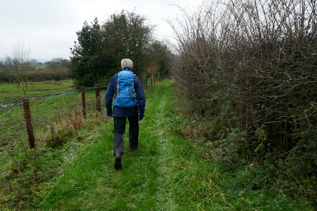
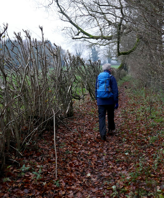
Nanook of the North is ready for the off!
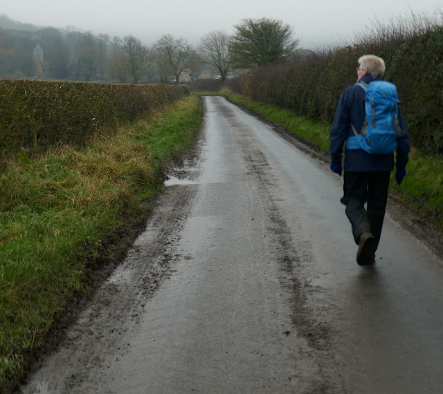
Only 100 yards but this is a busy road with no pavements
Cross at the sign and straight into...
... the trees of Ten Acre Bank

A short climb brought us to a T junction where we turned right and followed a pleasant path below Ten Acre Bank.  The path was frozen solid but it was obvious that its normal state would have been very muddy indeed.

Our path was parallel to Flatts Lane until we turned left over a stile and into a meadow which led to Mill Farm and then Claphams Wood.  This was a lovely path and we were surprised that it was so little walked and in fact we didn't see another soul until we reached the Nab monument.  It was difficult to believe that we were not far above the main Guisborough road.


Walking parallel to Flatts Lane
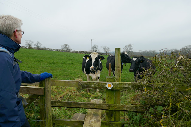
Cross the stile and into fields
A pleasant path


View over to Roseberry to our right
Mill Farm

A steady climb alongside the wood on little walked paths, thick with  brambles, brought us to Moordale Bog, which was frozen so felt firm underfoot.  TSB tells us that here, hidden among the undergrowth, is the ruins of Upsall Pit, run by Bolckow, Vaughan and Co from 1866 and then Dorman Long and Co until 1945.  The shaft was 564 feet deep and in all 63 million tons of iron ore were extracted from these hills between 1850 and 1949. 


Walk downhill to Mill Farm to cross the stile
The way-mark is down
Sometimes just in the wood...
... and sometimes just outside the trees
Carole stops to admire the view
The view!
We see the transmitter masts for the first time
The track would be difficult in places if not frozen

A small community lived here in the now forgotten village of Barnaby and provisions for the village were brought via the underground mine railway.  TSB says that the foundations of two rows of cottages can still be seen, as can the capped well.  We found the well but not the foundations. Also demolished were a chapel and a schoolroom built in 1871.

The trees of Clapham Wood


This well is all that remains visible of Barnaby Village

 Another climb took us onto Wilton Moor where we came to a convenient bench with a magnificent view across to Roseberry Topping, an ideal place to sit in the sun and enjoy our coffee and scones.

More mine remains, these stone posts have metal plates inset
Coffee with a view
The view from our bench

Our path headed north west across Eston Moor where TSB says early man built barrows and left flint tools dating from 6000 to 2000 BC, until we reached a cluster of transmitter masts.  We walked on towards the Eston Nab Monument where we paused and read the bronze inscription. 

We pass by the transmitter masts...
... to reach the beacon at Eston Nab


At this spot a beacon tower was constructed in 1808 during the Napoleonic Wars.  After 1815 it was used as a house and from 1884 was the home of a David Helm and his wife until 1933, when the body of 80 year old Mr Helm, who had outlived his wife by a year, was carried by horse drawn cart down for burial at Wilton churchyard.  In 1956 it was finally demolished and the present monument was built by ICI, using the stone from the original beacon.   We stood and enjoyed an amazing panoramic view of Teesside and beyond from the Nab.


Views from Eston Nab


The yellow block is the nuclear power station
The houses of Eston below

The area around the monument was once an Iron Age hill fort dating from 550 BC.  TSB says that it probably served as a refuge for surrounding settlements and calcined bones have been found at the site which prove that cannibalism took place, possibly when ancient warriors were besieged on the nab.


The flag in memory of Lee Rigby, the murdered soldier

We followed the path along the escarpment where someone has erected a flag in memory of Lee Rigby, the murdered soldier, and here we met our first people of the day.  We continued along the path to pass by Carr Pond.

We walk along the ridge


Carr Pond

TSB informs us that during the last war a Junkers Ju88A aeroplane crashed here on 30th March 1941 after being shot down by a Spitfire from 41 Squadron.  All four crew died and during the war another three aircraft crashed on these moors, including a Spitfire which crashed near to the Junkers site.

We begin descending towards Flatts Lane
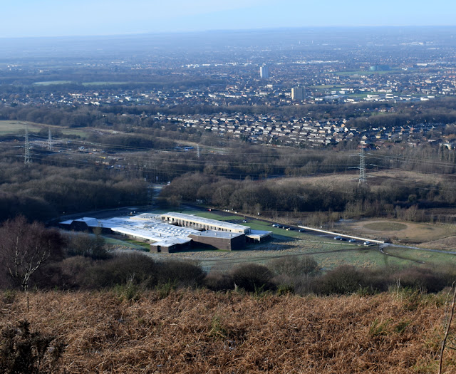
Flatts Lane Hospital, once a teacher training college

We now started the descent back towards Flatts Lane and our car.  We agreed that it had been an interesting walk with great views in the clear weather, and it was good to get an unfamiliar view of the familiar places and industrial landscapes so close to our homes.


A short walk but a good one!


Friday 11 December 2020

Kepwick and Cowesby from Over Silton


5.5 miles          Cold and grey


We left the cars at Over Silton at the roadside opposite the Old School House, having approached the village from the A19.

Today's walk from The Walker's Guide to the Hambleton Hills


The Old School House at Over Silton


House at Over Silton

Manor House at Over Silton
The Wombwell coat of arms on the Manor House
The Manor House was once the home of Sir George Wombwell, who built the small school

Tom Scott Burns notes that the name Silton probably derives from Sal as in Upsal, which means Hall, and Ton, which is old Anglian for place or town.

We followed the road out of Over Silton and turned into a field at a gate. Although easy to miss, there is a way-mark on the telegraph pole here, but we found that with much of today's route, whilst shown on the map, where its tracks cut across fields it is difficult to see.

Leave the road  at the telegraph pole..
... and enter field paths
Crossing Penny Beck


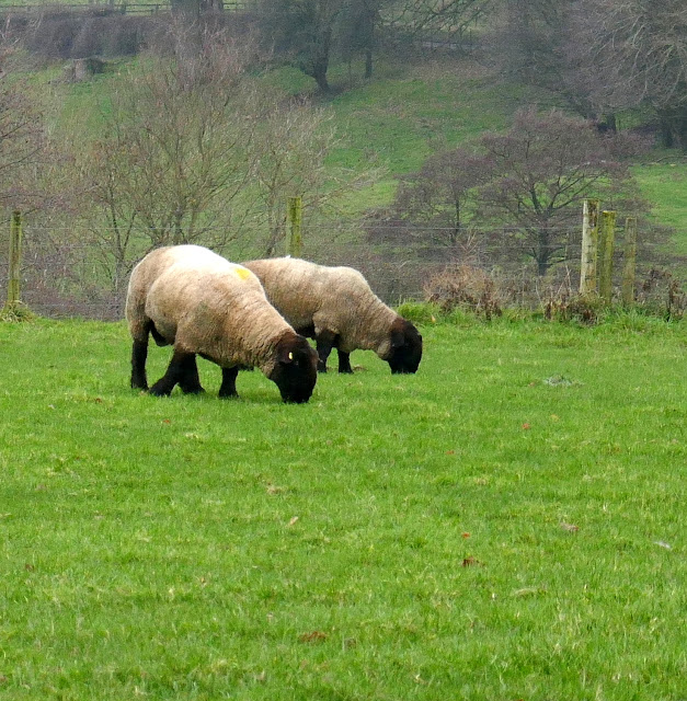
We walked through fields until we reached Greystone Farm, passing by the attractive and tidily kept buildings to see a small open barn full of rosettes and prize certificates for the farm's Suffolk sheep.

Greystone Farm

Suffolk Sheep trophies


Suffolk rams at Greystone Farm


The route continues along field paths until reaching Nether Silton where we crossed the road near to the village green and rejoined our path which led us to Hall Farm.


Nether Silton Village Green

Hall Farm and game rearing pens


Guinea Fowl at Hall Farm


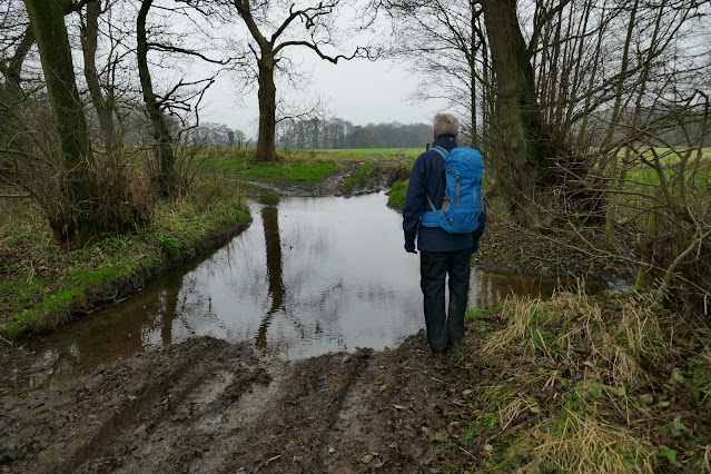
We continued beyond the farm to walk through sodden fields until we reached the footbridge over Sorrow Beck.

Field tracks are wet and muddy today...


... and so are some of the lanes

Sorrow Beck

After crossing the beck  we walked through fields to reach a stone footbridge that is built over what used to be a 3.5 mile narrow gauge railway.  Constructed in 1833 this railway brought limestone mined near Kepwick to kilns near to the Yarm and Thirsk turnpike road.  We crossed another field and joined Peasland Lane which we followed for a mile into Cowesby.


Bridge over disused narrow gauge railway
Peasland Lane
Cowesby Church from Peasland Lane

The first building we came to on entering Cowesby was St Michael and All Angels Church.  We were pleased to find the door was unlocked and we spent a few moments exploring the old building.  Although very smart from the outside the interior is suffering from damp, indeed we thought the inside of the church was colder than outside.  Plaster had fallen from the roof and walls.

Although the present church dates from only 1846 it replaced one of the oldest churches in the district, which stood on a Saxon site.  We wondered if the many carved heads are modern or rescued from the old church.

The weather vane appears to be lop-sided!

We are pleased to find the church open
Plaster has fallen from the walls
The altar window


Not so pretty!


The tower has an unusual pyramid roof which houses a ring of six bells, their ropes dangling near the altar.

A new and convenient bench had been placed outside the church and we decided to pause for our coffee break.

Refreshed, we walked through Cowesby, past Home Farm, then followed a path bearing left along the western shoulder of Pen Hill. This path then leads down towards Kepwick.  

Cowesby
Clive passes Corner House in Cowesby
Weather vane in Cowesby
Leaving the lane near Home Farm..
Climbing Pen Hill
Cowesby from Pen Hill

Tom Scott Burns in his The Walker's Guide to the Hambleton Hills mentions that a marble obelisk can be seen on Howe Hill as one descends Atlay Bank. We have never seen this obelisk and Howe Hill top appears to be covered with trees and vegetation and having time to spare we decided to climb Howe Hill to look for this memorial. Two footpaths are shown on the OS map, neither of which actually visit the top of the hill and in fact the nearest to the hill has disappeared, although an old footpath sign remains on the road, it now points into someone's garden. We took the other path into the field below Howe Hill and stepping over a low fence we climbed steeply through dense vegetation and were surprised when the obelisk suddenly came into view.

Howe Hill, Tom says there is an obelisk on top of it!
Clive gets snagged as we climb Howe Hill
Well I'm blowed, Tom was right!
'In memory of John Henry Boyer Warner. He was a great and intellectual traveller throughout the world all his life, a popular candidate for parliament, a true and noble man, his mind was one of the first in which originated the germ of that grand scheme 'Imperial Federation'  He was a man liked and respected by all who knew him, never to be forgotten by those he loved.  He was a man take him for all in all, I shall not look on his like again. Not lost but gone before'

'A nature his of sweet felicity, a pioneer of thought throughout the globe, his soul a garb of grand simplicity, that feelings true of wondrous depth did robe. Such men denote the capability, of nature's glorious power in her prime, show us the path of possibility, that leads beyond the measured scope of time'
The trees and vegetation have caused the marble to discolour
In need of some TLC from the people of Kepwick!


We can't get near the fourth side of the obelisk, which appears to have a coat of arms with a squirrel thereon

John Henry Boyer Warner erected Kepwick Hall and constructed two reservoirs upon the moors above to service the estate and village. 

The obelisk memorial is now invisible to all, unless you climb Howe Hill and fight through the trees and vegetation to its base. We wondered why it was so neglected and also whether the trees had been deliberately planted with the intention of hiding the obelisk from public view.  It's a real shame!

There was no easy descent and we slithered back down Howe Hill and returned to the road.

Descend through the brambles and trees
Nearly at the fence
Atlay Bank from Howe Hill

Back in Kepwick we left the road at a footpath sign to re-enter fields which took us first to the disused railway and then to Bridge Beck which we crossed on a new bridge.  A hundred yards later we reached and crossed Sorrow Beck.

Leaving the road at Kepwick
Field walking again
I send Clive on ahead to negotiate passage
The natives are friendly
Crossing into this field we disturb...
.. a hare.   Stand still for my camera!
No chance.
Sorrow Beck


In pathless fields way-marks are few and far between, but keep straight ahead to the outskirts of Nether Silton and the old Manor Stone which is in the middle of a field next to the 16th century manor house.  The stone is cryptically inscribed with letters whose meaning I've set out below the photograph.  This inscription was the idea of a Squire Hicks to mark the spot where the medieval manor house once stood.


The satellite dish seems a bit incongruous on the 16th century manor house
The manor house at Nether Silton
Here The Grand Old Manor House Stood
The Black Beams Were Oak, The Great Walls Were Good
The Walls At The East Wing Are Hidden Here
A Thatched Cottage Like A Barn Was Erected 
Year AD 1765
A Wide Porch Spans A Yard And Alcove
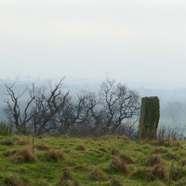
An old monolith (on the right)

A few steps took us to the church of All Saints seen behind me in the above picture and then to the road where we entered the gate at the old post office.


Looking back at the Old Manor Stone


Through the gate!


Once in the fields we were now returning to Over Silton and walking parallel to Greystone Farm and its Suffolk sheep.  

Target in fields at Nether Silton
Black sheep at Nether Silton
Looking over towards Greystones Farm


Suffolks in pasture

After crossing the tarmac of Kirk Ings Lane we passed St Mary's Church, which appears abandoned in the middle of a field, before walking over the field to reach Over Silton.

As we returned to our cars we saw that a flock of peacocks were  wandering through the village, in gardens and on the road.  We wondered who, if anyone, they belonged to?

Crossing Ings Lane
St Mary's in the field
Free range peacocks at Over Silton


A short walk but an interesting one!