Limekiln House and the Drove Road from Kepwick
5.5 miles Fair and calm
Tom Scott Burns suggests that Kepwick is derived from the Scandinavian Kaeppi and Vik, so Kaeppivik which means a nook in the hills. In Victorian times it was noted for its lime and sandstone quarries and a railway ran from Kepwick to kilns on the Yarm to Thirsk turnpike road. We intended to park in the car park at the front of the Church Hall but we found it to be full, (more hikers?) so we parked at the roadside a little further into the village.
 |
| Today's walk from The Walker's Guide to the Hambleton Hills |
|
|
|
We walked through Kepwick coming immediately to the gates of Kepwick Hall where we turned left, following the tarmac road across the remains of the old railway line and then climbing slowly past French Hill Wood to isolated Nab Farm.
 |
| Gates to Kepwick Hall |
 |
| French Hill Wood on right and The Nab ahead on left |
 |
| Hmm, looks like another of those walks... |
 |
| Cattle restraint pen at Nab Farm |
Leaving Nab Farm we left tarmac behind and could see our footpath crossing through a large field of cattle before heading up towards Kepwick Moor. Despite the threatening signs we had passed the cattle were totally indifferent to us and we crossed a beck and came quickly to the ruins of an old limekiln.
 |
| Our path crosses the field and through the gap in the wall |
 |
| Our passing is noted |
 |
| Approaching old limekiln |
 |
| Old limekiln chimney |
We now followed a green path alongside a drystone wall with fine views all round. We could see the old workings of Kepwick Quarry across to our right. As we climbed we came upon a group of about 20 ramblers walking down towards us, no doubt the owners of the cars seen at Kepwick Church Hall. A steady climb brought us to the moor gate and the ruins of an old drovers' inn, Limekiln House, where we decided to enjoy our coffee and scones in the sun. In The Walker's Guide to the Hambleton Hills is a photograph of Limekiln House showing ruined walls, but these have now disappeared.
 |
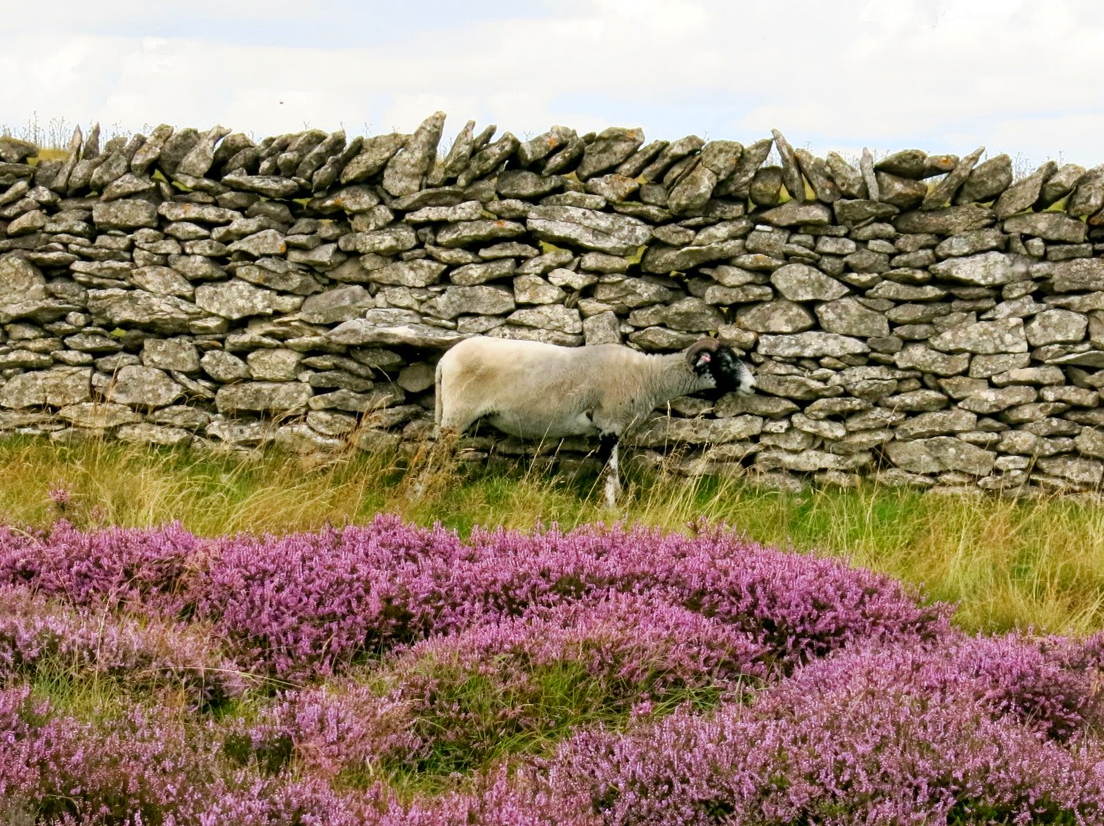
| Heather was at its best today |
 |
| Green path on Kepwick Moor |
 |
| Old workings of Kepwick Quarry |
 |
| "Has it taken?" " Give it another few seconds..." |
We were now on the old Hambleton Drove Road which TSB tells us was referred to as the 'regalis via' or King's Way' in a medieval document at Rievaulx, and which has probably been in use since prehistoric times. We walked south along the Drove Road across Little Moor, steadily climbing to a height of 1200 feet.
 |
| Hambleton Drove Road |
 |
| Man or dog? Memorial near Limekiln House |
 |
| Looking back along the Drove Road |
Eventually we reached the conifer plantation at Steeple Cross where we were going to turn right, leaving the Drove Road and heading onto a forestry path. TSB tells us that Steeple Cross was referred to as Stepingecross in documents dated 1290 and was probably derived from the old English 'steapinga' - 'dweller on the slope', hence 'crossroads of the hill-dwellers'. All round this area are Bronze Age earthworks.


No comments:
Post a Comment