Bank Foot to Upper Baysdale and Burton Howe
11 miles Warm and cloudy
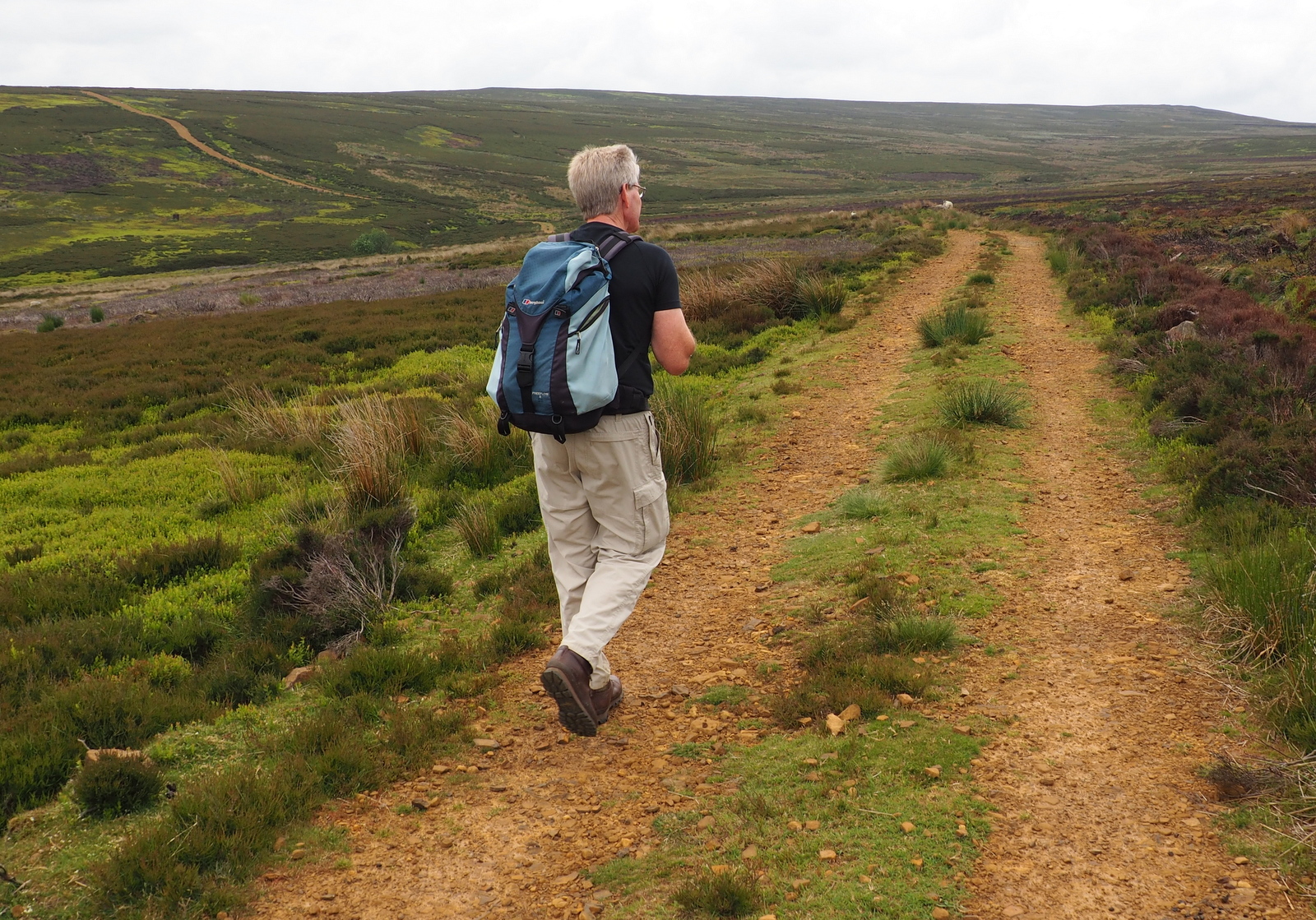
We decided to do a new walk of longer length today, from The Walker's Guide to the Cleveland Hills. We parked at the road side near to Bank Foot Farm, which is approached from the unclassified road between Ingleby Greenhow and Battersby.
 |
| Today's walk from The Walker's Guide to the Cleveland Hills |
 |
| Farm cottage, Bank Foot |
 |
| Another horse succumbs to the pleasures of Jakeman's Throat and Chest lozenges |
 |
| Mmmm, any more?! |
 |
| Bank Foot Farm |
|
|
Tom Scott Burns relates a grisly deed that occurred here on 3rd October 1924. Frank Ward who lived in one of the railway cottages on the incline failed to return home after an evening of drinking at the Dudley Arms in Ingleby Greenhow. His daughter Hannah and a neighbour, Medd Carpenter, made a search and followed a trail of blood to a haystack at Bank Foot where Frank's body was found partially concealed. Later that morning the Police found Frank's best friend Jerry Dalton, who lived in a cottage near Bank Foot Farm, slumped in a ditch with self inflicted throat wounds. He was subsequently convicted of the murder of his friend and hanged for his crime. All was peaceful at Bank Foot this morning and we walked past the farm and straight into a steep climb, following the track up to Turkey Nab. We soon passed a dead sheep, however, but it showed no sign of injury and on reaching the top we paused to admire the view and get our breath back.
 |
| Starting the climb at Bank Foot |
 |
| The path nearly disappears in bracken |
 |
| Nearing the top |
 |
| A sad sight |
 |
| Looking down at Bank Foot Farm |
 |
| Looking over to Battersby and Captain Cook's Monument in the far distance |
Just beyond the Nab we turned left onto a smaller track that led across Ingelby Moor, crossing Black Beck about a mile further on before a slight climb to bear left onto Middle Head Road. We paused to watch a Golden Plover sitting on a rock while her chicks ran on the moor nearby. Shortly after we came to an interesting group of large boulders known as the Cheese Stones, a good vantage point to look down into Baysdale. Continuing along the moor we came to the remains of a medieval cross and a little more walking found us looking down onto the imposing building of Baysdale Abbey Farm. The sun was out and this made a lovely spot to sit and enjoy our coffee and scones.
 |
| Looking from Turkey Nab |
 |
| If you look carefully you can see a Golden Plover in front of the sheep |
 |
| That's a better view! |
 |
| Empty spaces |
 |
| The Cheese Stones |
 |
| Remains of a medieval cross |
Tom Scott Burns says that in the middle ages land rents for Baysdale were paid with the heads of wolves, which were numerous in the area, and one can imagine this wild enclosed ravine in the 1300s, when cattle were over-wintered in the valley bottom. In fact, TSB explains, Baysdale is derived from Basdale meaning Cow Shed Valley. We walked down to the Abbey Farm which has been renovated and is now marketed as holiday lets and walked round the building to see if we could spot the 13th century mullions that TSB says are preserved in the south side of the building. We couldn't.
 |
| Woods before Baysdale Abbey |
 |
| Baysdale Abbey Farm from our coffee stop. Thorntree House Farm top right |
 |
| The South side of the building |
Tom's map now indicates that we should take a direct route across the fields to Thorntree House Farm and in fact when we checked the OS map, a route is shown but has long since fallen into disuse. We headed across the fields keeping to where we felt the path should be and passing the farm rejoined a forestry track back into the woods leading up to Baysdale Moor. We followed the moorland track for about 1.5 miles before reaching an old stone shooting box. Our path actually turned right 100 yards before the building but we decided to go and look at it. The shooting box was in good repair, padlocked and with the date 1928 on the wall.
 |
| Entering the woods on the far side of Thorntree House Farm |
 |
| Leaving the woods at the moor gate |
 |
| We leave our path briefly to examine a stone shooting box |
 |
| A date of 1928 can just be made out on the corner wall |
We walked back up to rejoin our path which led us down through the old disused coal pits of Armouth Wath, ('ford at becks meeting') across Grain Beck after which we followed a collier's track until we reached the Bronze Age tumulus of Burton Howe, at 1419 feet.
 |
| A late lamb |
 |
| Approaching the tumulus mound of Burton Howe |
 |
| Other tumuli can be seen nearby |
 |
| The Cleveland Hills from Burton Howe |
Our path now followed the escarpment across the open land of Ingleby Moor, locally known as Siberia, and devoid of interest until we came to a well preserved standing stone near Tidy Brown Hill. We could make out the inscription Kirby and Helmsley 1757 on one side and Guis Boro on the other and we were pleased to see that tradition had been maintained and a few coins had been left under a loose top stone, should a needy person happen by. Strangely TSB doesn't mention this stone in his walk description.
 |
| Following the escarpment |
 |
| Standing stone near Tidy Brown Hill |
 |
| Kirby and Helmsley 1757 |
 |
| 'Guisboro' and hand |
 |
| For the needy |
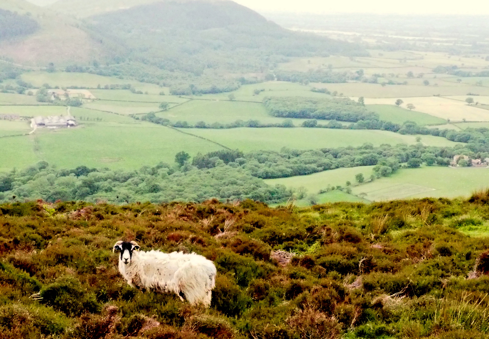
We continued our long walk along the escarpment with fine views to the Cleveland Hills to our left. At one point we were sorry to come across another dead sheep, this time a fairly mature lamb again with no sign of injury. Eventually our path reached Turkey Nab and we rejoined our outward path to descend to Bank Foot and our car.
 |
| Another fallen sheep |
 |
| The long walk back to Turkey Nab | | |
|
|
This was not a very interesting walk visually as it is comprised mainly of empty moorland but in fine summer weather it made an enjoyable day's tramping.


No comments:
Post a Comment