Caydale and Noddle End from Murton
7.5 miles Hot and humid
Tom Scott Burns explains that a 'grange'
was a farmhouse attached to a religious order and Murton Grange
once belonged to the monks of nearby Byland Abbey. We drove to Murton Grange taking the Laskill turn-off from the B1257 Stokesley to Helmsley road and
parked on the verge near to the white buildings of the Grange.
 |
| Today's map from The Walker's Guide to the Hambleton Hills |
 |
| Murton Grange and outbuildings |
The mini heat wave made walking an effort but we set off up the tarmac lane alongside Murton Grange. As we passed the gate to Ox Pasture Lane a man and his dog walked towards us and a partridge on the other side of the gate froze as he realised he was between us and the dog. His indecision allowed me a couple of nice close photographs before he took to the air.
 |
| A nervous partridge |
We came to a fork, the main lane going on to Caydale Mill but we went straight ahead here and down into the hidden valley of Caydale. Tom Scott Burns tells us that at this spot the last wild cat in England was shot in 1840, by a Charles Harrison. As we descended into the valley a deer ran across the path in front of us and as we hesitated its fawn followed and stopped dead on the path to look at us, brown and glossy and not more than 20 feet away. I reached for my camera and just as I switched it on the fawn disappeared into the bushes on the other side of the path. What a photo it would have made!
 |
| Bear right off the tarmac |
 |
| Overgrown path into Caydale |
We reached the beck at the bottom of the valley and started the long climb up the other side, passing the remains of the 'Captain's Seat', as shown on the map above. Who the captain was and why he sat at this remote spot, I have been unable to discover despite Google searches, but in the 1740s a Joseph Ford of Kirbymoorside perfected a system of tapping into springs and channeling water in open 'rills' some 12 inches wide. Water was diverted by this method through Caydale from King Spring to the village of Old Byland. Perhaps the original memorial seat goes back to those days, who knows.
 |
| Clive inspects a 'rill' |
 |
| The remains of The Captain's Seat |
 |
| Out of Caydale and looking back at our path and Murton Grange |
We set off and walked towards the Old Barn (which we passed two weeks ago on our Boltby to Gormire walk) but this time walked straight past it following the Cleveland Way. We passed groups of sheep, lying comatose in the heat and panting frantically to cool themselves.
 |
| The Old Barn |
 |
| Hot sheep |
 |
| Clive lets a couple of cyclists through |
We crossed Sneck Yate Bank Road, opening the gate for a couple of cyclists, and continued along a forest path to High Paradise Farm, which now has a tea room in the summer months. Although it was nearly 30 minutes since we had our coffee break we showed amazing will power and walked on past mountain bikers enjoying their coffee at the farm cafe, soon reaching the gate with the old drovers' road, Hambleton Road.
 |
| High Paradise Farm |
 |
| Hambleton Road Crossing |
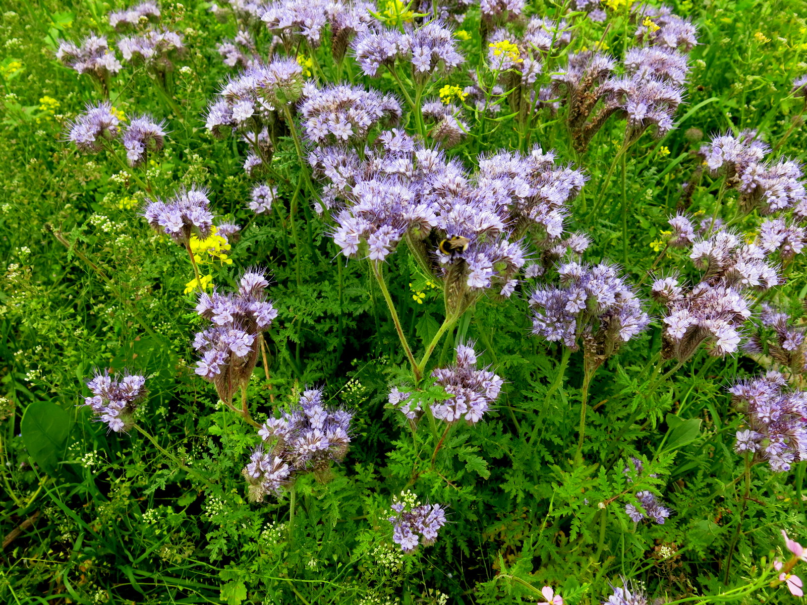
We crossed straight over and walked onto Daletown Common where we continued for about two miles towards the old ruined barn at Noddle End. We passed a field that had obviously been sown with wild flowers, perhaps courtesy of some sort of agricultural grant, and it was full of bees and butterflies.
 |
| Daletown Common |
 |
| Wild flowers |
 |
| Towards Noddle End |
We reached the ruined barn and were startled by cattle who had been sheltering from the heat in the barn who rushed out as we passed. The view from this spot is stunning and we stood for a few moments looking down at the ruined building of Gowerdale House.
 |
| Cattle rush out of the old barn |
 |
| Looking down from Noddle End |
 |
| Noddle End |
 |
| Descending to Gowerdale House |
Our path led steeply downhill to a
single deserted farmstead, Gowerdale House. This area was the site of
what was once a medieval village, long abandoned. TSB speculates
whether the Black Death visited this secluded valley. We walked in front of the house which
has the bleak message, "Look around and get out!" painted on the front
door, and followed a rising path through the yard of Dale Town Farm.
 |
| Gowerdale House |
We walked straight uphill from the farm, turning left along Peak Scar Top and soon reaching Murton Bank Road and our car. A short drive took us to the Inn at Hawnby where we enjoyed a pint in the garden and reflected on a hot but enjoyable day's walk.
 |
| Looking back at Gowerdale House from Murton Bank |
 |
| Dale Town Farm |
 |
| From left, Hawnby Hill, Hawnby village and Easterside Hill |
 |
| Cooling down at the Inn at Hawnby |
|
|
|


No comments:
Post a Comment