Roseberry Topping, Easby Moor and Captain Cook's Monument from Great Ayton
7 miles Dry and cool
Heavy rain during the last few days made us decide on a moor walk and we thought we'd visit the Cleveland Matterhorn, Roseberry Topping, as we haven't been there for a while. So not one of Tom Scott Burn's walks today but one I'm sure he would have been familiar with.
 |
| Tracklogs view of today's walk |
We parked on the high street in front of the butcher's shop and were amused by a sign in the window showing their pies being consumed on Dove Crag and Ben Nevis.
 |
| Pie hiking - Sign in Ayton Butchers |
We walked along the high street passing the small school house where Captain Cook was taught as a boy. A sign showed the school is now a museum but that it is only open to visitors from April to October. We followed the high street and crossed the road to enter a footpath alongside Cleveland Lodge, which we found to be very muddy.
 |
| Captain Cook's school |
 |
| Duck weather-vane on the high street opposite the river |
 |
| Muddy footpath alongside Cleveland Lodge |
 |
| Progress gets tricky |
We crossed the Middlesbrough to Whitby railway line near Ryehill Farm and continued through farm fields before heading steeply uphill into trees to reach Cliff Rigg Quarry where whinstone was mined until 1973. We detoured from our path to climb steeply to the ridge of the quarry for a better look. The quarry, which is remarkably large and deep, looks disused and forgotten.
 |
| Crossing the railway |
 |
| Sign at the entrance to Cliff Ridge Wood |
 |
| Looking along the quarry |
 |
| The right side of the quarry |
 |
| Roseberry from Cliff Rigg Quarry |
We retraced our steps to rejoin our farm track towards Roseberry, crossing several fields and steadily climbing until we reached Wilson's Folly, a Victorian shooting box on the slopes of Roseberry.
 |
| Farm tracks to Roseberry |
 |
| Approaching Wilson's Folly |
 |
| Plaque on the shooting box |
 |
| Roseberry from the shooting box |
Leaving the shooting box we continued to climb until we reached the summit, where, standing by the trig point, we enjoyed great views in all directions.
The hill is believed to have been held in special regard by the Vikings who settled here and gave the area many of its place names. They gave Roseberry Topping its present name: first attested in 1119 as Othenesberg, (Othenes (personal name) rock, or Odin's rock. If the latter, Roseberry Topping is one of only a handful of known pagan names in England, being named after the Norse God Odin.
https://en.wikipedia.org/wiki/Roseberry_Topping
The locations of this walk made us think of Captain Cook, and standing here on the summit we could see Marton, where I live and where he was born and Ayton where he went to school. We wondered if he had ever stood here on top of Roseberry, as a youth. I bet he did. Next we were going to visit the monument erected to his memory.
 |
| Not resting, just reading the graffitti |
 |
| Great Ayton from Roseberry |
 |
| Looking towards the coast |
 |
| Guisborough in the distance |
 |
| Newton under Roseberry |
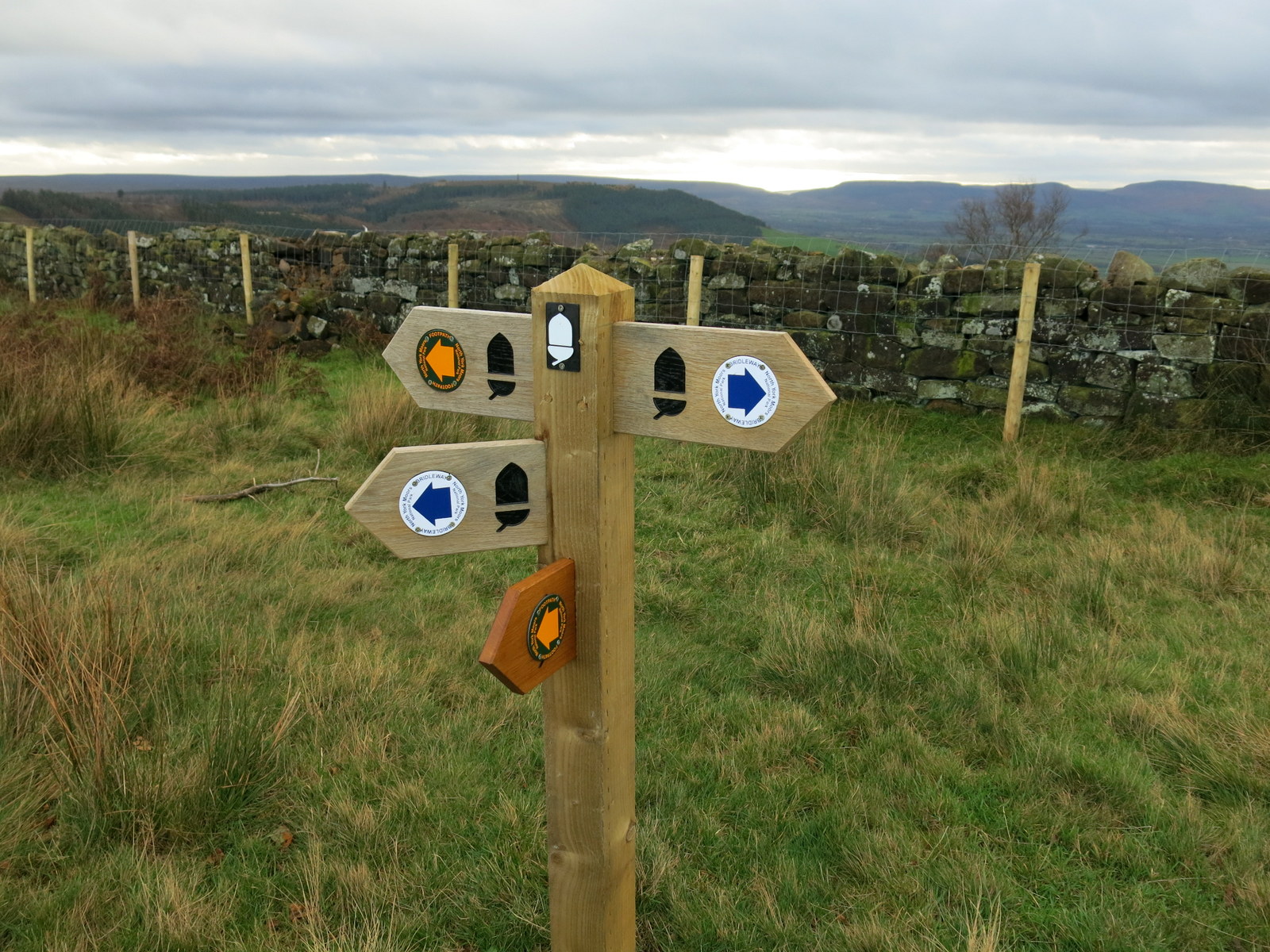
We walked down from the summit to rejoin our path and saw the first of many newly erected signs we saw today. We have mixed feelings about them but perhaps they will look better when weathered.
 |
| The acorn stands for the Cleveland Way |
 |
| Looking back towards Roseberry from Newton Moor |
With Roseberry behind us we headed south towards Easby Moor and Captain Cook's Monument. Our path led us down to Gribdale Gate where a picnic table had been thoughtfully positioned for our coffee stop.
 |
| Captain Cook's Monument appears in the distance |
 |
| Coffee and scones at Gribdale |
From Gribdale we climbed up towards the monument, stopping briefly to look at a memorial plaque to a British air crew, killed here during WW2. There had obviously been a Remembrance Day visit to the spot, judging by the poppies. Nice that they are still being remembered.
 |
| Memorial Plaque on Easby Moor |
 |
| Approaching the Monument |
 |
| Memorial Stone on the Monument |
We reached the monument and read through the plaque. Neither of us had realised that Cook was only 41 when he died. We walked towards two old gateposts to leave the moor and begin our descent towards Great Ayton.
 |
| Great Ayton below us |
 |
| Looking back as we begin our descent |
 |
| Pine needles helpfully carpet the mud, making our descent easier |
 |
| Looking across to Roseberry and Gribdale Terrace |
As we reached Dykes Lane we made a decision to stray from our map, as we did not want to walk back through the mud we had experienced on our outward journey, near Cleveland Lodge. We turned left just before Dykes Lane into a farm track where there was a Weak Bridge sign, and this led us, via the weak railway bridge, to Woodhouse Farm. We were surprised to see that the farm now hosts a brand new building which is a cafe above and barn below.
 |
| We turn left here |
 |
| Anti-climb bridge! |
 |
| New cafe at Woodhouse Farm |
 |
| Huntsman and hounds weather-vane at Woodhouse Farm |
 |
| Nice house sign with tractor |
 |
| Swaledale Rams near Brookside Farm |
 |
Late butterfly (moth?) Don't know what sort
Do now! Thanks Roger. It's a Comma Butterfly, unusual in the North |
Reaching Great Ayton we diverted briefly into the Royal Oak for a pint of Deuchars IPA, before walking alongside the Green and returning to our car.
 |
| Statue to James Cook on Ayton Green |
 |
| War memorial on the village green |


No comments:
Post a Comment