Boltby to Gormire Lake and Whitestone Cliff
7 miles Windy with Showers
We approached
Boltby from the Knayton turn-off on the A19 and drove through the
village to park at a small car park next to a bend at the top of a hill
on the same road. We walked back towards the village and turned left
into a lane.
 |
| Today's walk from The Walker's Guide to the Hambleton Hills |
 |
| Mossy wall near car park |
We walked back down the road into Boltby where we took the first left into a lane. Tom Scott Burns
explains that Boltby is of great antiquity and is mentioned in the
Domesday Book as the property of Hugh, son of Baldric.
Passing a bungalow with an interesting metal fox standing on its garden wall, we stopped to chat to three ugly Texel rams who were eating straw that had been left on the wall for them.
 |
| Labrador weather vane at Boltby |
 |
| Lane out of Boltby |
|
 |
| "Who're you calling ugly?!" Texel Rams at Boltby |
 |
| Metal fox ornament |
Our path climbed over the shoulder of Little Moor and rounded a conical hill before dropping down to Tang Hall.
 |
| Walking towards Cow Pasture Wood |
 |
| Approaching Little Moor |
 |
| Looking back towards Boltby from Little Moor |
 |
| Dropping down to Tang Hall Farm |
From Tang Hall we followed an old coach road across Huggon Howl towards Southwoods Hall, which we could just make out among the trees to our left. Our trail passed to the side of the hall and to our right was a charming pond. We passed by the Hall's gates and went straight ahead into South Woods. Our trail carried on through trees until we came to Gormire Lake.
 |
| Southwoods Hall |
 |
| The Old Coach Road passing to the side of Southwoods Hall |
 |
| Pond below Southwoods Hall |
 |
| Straight on through South Woods... |
 |
| ... until we reach Gormire Lake |
There
are two terraces around Gormire and TSB explains that these were once
shorelines when the lake was much deeper. Its is often described as
bottomless but is actually about 27 feet deep in the centre and covers about twenty six acres. Tradition
relates that a town stood here which was destroyed in an earthquake, but
the lake is actually the result of a glacial overflow channel being
blocked by a landslip, hence its position up a hillside. No streams
flow from it and its waters are mainly supplied by rain and diminish
with evaporation. A major landslip happened here on the 25th March 1755
which was described by Rev John Wesley as 'like many cannons or rolling
thunder'.
We followed the lake side until we reached a track that went straight uphill to our left, which we would have to follow. For now, however, we were out of the wind with a lovely view so we settled down by the water's edge to partake of our coffee and scones.
 |
| The view from our coffee stop |
 |
| "Any more coffee Clive..?" |
 |
| Our path goes straight uphill |
Our
break had to end and the climb had to be made. As you can see from the
map the ascent is a little over half a mile and very steep in places.
Puffing on to the top path near Sutton Bank Visitors' Centre we turned
left and in a few yards had a magnificent view of Gormire and the
surrounding countryside.
 |
| Our climb goes through Garbutt Wood |
 |
| Garbutt Wood |
 |
| The view to our right as we climb |
 |
| We reach the ridge at Sutton Brow, Gormire to our left below |
 |
| A fine view of the lake from Sutton Brow |
Pausing to enjoy views of Gormire beneath us we approached Whitestone Cliff, where I was able to venture onto a viewpoint to take the below photo of the cliffs.
 |
| Whitestone Cliff | |
 |
| Gormire from the same viewpoint |
|
|
Whitestone Cliff is also known locally as White Mare Crag after an
unruly racehorse from the nearby gallops was supposed to have jumped from
this point together with her rider. TSB gives no further details and I
would think this might be a folk tale. We watched as our view became less distinct as a shower blew in towards us. Suddenly we were wet but in a few minutes the rain had passed and the sharp wind soon dried our clothes.
 |
| Rain blows in |
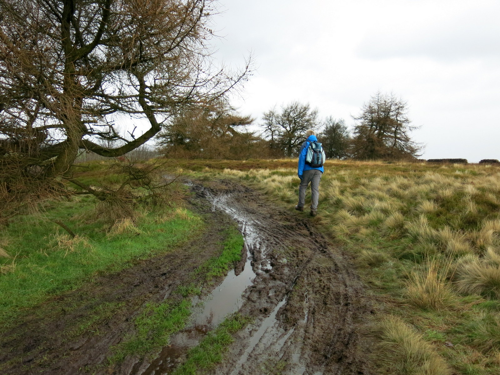
After following the ridge path for two miles we ignored a left fork sign posted to Boltby although this was our destination and continued along the ridge for another mile. We shared this path with mountain bike riders and had to walk round some messy patches.
 |
| Straight on at the sign |
 |
| Boltby below |
 |
| Mountain bikes have chewed the path up |
 |
| Boltby |
High Barn came into view ahead of us and we could also see the outlines of an old hill fort. TSB says that the fort originally had a D shaped rampart enclosing three acres. Gold earrings from the early Bronze Age have been unearthed, along with pottery from an earlier culture, probably Neolithic.
 |
| The fort lay just beyond the fence, quarry workings further on |
 |
| Turn left downhill at High Barn |
When we reached High Barn we turned sharp left to follow our path downhill. The path was indistinct and didn't appear to have been walked for some time.
 |
| Indistinct path downhill |
 |
| Another shower blows in |
 |
| Clive enters a hollow lane |
Our indistinct path led to a hollow lane or sunken path which led down to cross a beck at a gated bridge and then followed a direct route across a couple of fields before climbing back towards the road and our car.
 |
| Fields were saturated |
There were three horses in this last field, placid in their winter coats and paying us no attention. Suddenly there was a volley of gunfire from nearby Town Pasture Wood and the horses were spooked and ran straight towards us, passing us by as we froze, uncertain which way to jump. They stopped at the far side of the field and we continued our climb. We looked back into the field after climbing the stile and another volley of shots rang out, sending the horses charging back in the opposite direction. Obviously they don't get used to the noise.
 |
| Spooked horses |
 |
| Climbing tree |
Near our car was a very interesting tree that appeared to have been adapted for climbing and probably had a tree house in it at one time. We thought that climbing it would make a fitting end to a nice walk that had a bit of everything. Perhaps next time!


No comments:
Post a Comment