Newton-under-Roseberry to
Old Nunthorpe
7 miles Cold, with bright sunshine and frozen snow
Snow yesterday and frozen roads this morning persuaded us not to stray too far today so we decided do a walk from Newton-under-Roseberry. We parked in the lay-by just beyond Newton and chatted to a couple of photographers who had been there since 7am to catch the sunrise over Roseberry Topping. I was filled with gear-envy for their DSLRs and tripods.
 |
| Today's walk from The Walker's Guide to the Cleveland Hills |
 |
| Roseberry from our car park |
 |
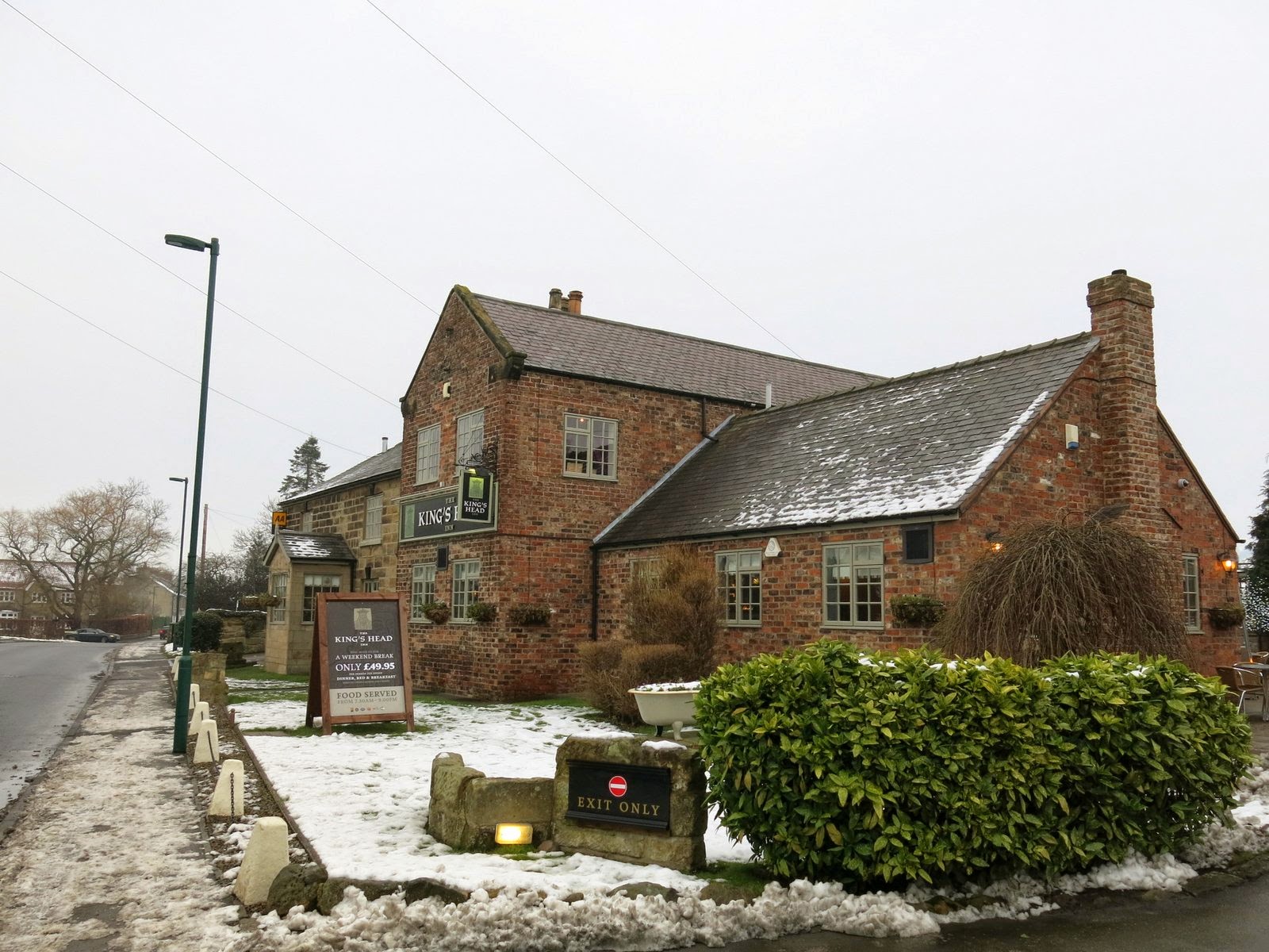
| The King's Head, Newton-under-Roseberry |
We walked back along the road through the village and past the King's Head pub. Tom Scott Burns informs us that the
King's Head dates back to 1796 and was run by an old woman known as 'Old
Gag Mally Wright' who started a fair in the village and was a 'handy
body' who acted as midwife and also laid out the dead. Locals said she 'tied up t' jaws of t' dying afore tha wur deead'.
The fair developed into a kind of disorderly annual orgy attended by
the lowest classes and in 1901 the Vicar of Newton, the Rev. Tugman,
successfully petitioned for it to be suppressed.
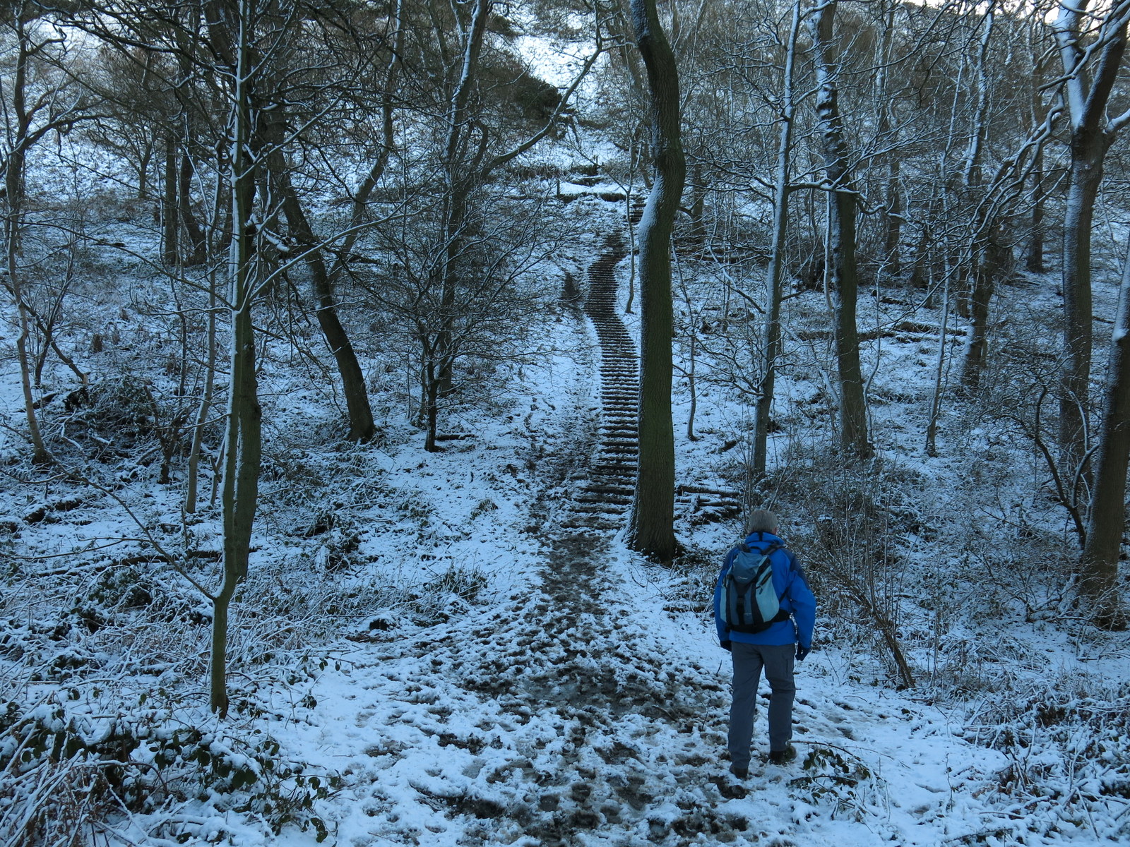
We turned into the lane to Roseberry Topping, usually impassable with mud and water but today frozen so that we progressed without even getting dirty boots and soon reached the lower slopes of the 'Teesside mini-Matterhorn'.
 |
| Roseberry Lane |
 |
| We approach the wood below the Toppping |
 |
| Start of the climb |
TSB recounts the story of a Northumbrian
princess who had been warned by an astrologer that her son Oswy would be
drowned on a certain day. To avoid this she took the child to the
summit of Roseberry Topping where he would surely be safe from that fate.
While she slept the child wandered off and fell down a well situated on
the north eastern slope of Roseberry, fulfilling the prophecy, which led
the princess to kill herself. Mother and child were buried together and
'Os by his mother lay' and so the village of Osmotherly gained its
name. The name Roseberry has puzzled many historians. In 1119 it was
Outhenesbergh, Osenburgh in 1424 and Roseberye in 1657. The hill was
mined for iron ore between 1880 and 1926 and in 1912 the mining caused a
landslip that gave the hill its distinctive shape. We carefully climbed the
hill's icy steps and then turned west to walk down to the folly built on its western
slope.
 |
| Approaching Wilson's Folly |
 |
| Wilson's Shooting Hut, shown as Summer House on TSB's map |
We walked down from the hut to Newton Wood where we descended through trees to reach Quarry Lane, which if we turned left would take us to Cliff Rigg Quarry where whinstone was mined until the last century. We turned right, however, and walked down to turn right again into the Ayton to Guisborough Road. We had to walk along this busy road for about a quarter of a mile until we could turn left into a lane alongside some buildings used by the Cleveland Mountain Rescue.
 |
| Looking back at Roseberry from Newton Wood |
 |
| Descending through Newton Wood |
 |
| Quarry Lane |
We walked along this lane which runs parallel to the old rail bed to Langbaurgh Quarry until we found a pile of rocks which we thought would be a good spot to stop for coffee and scones. We sat enjoying our coffee in the sunshine and were kept company by a bold robin who had obvious designs on our scones. We were putty in his claws and before moving off we crumbled a biscuit on a rock for his lunch, then set off across the old workings of Nunthorpe Quarries where signs warned us of mine shafts and unstable ground.
 |
| Alongside Langbaurgh Quarries |
 |
| We sat here for our coffee.... |
 |
| ... with a robin who fancied scones |
 |
| Through Nunthorpe Quarries |
These quarries, Cliff Rigg, Langbaurgh and Nunthorpe, are all set on a ridge of whinstone that runs down to Quarry Hill Farm, and are all now disused. We emerged from the trees that surround the old Nunthorpe Quarry to find ourselves walking briefly among the out-buildings of The Whinstone View Hotel, before crossing a stell by a small bridge into fields, where our track followed the field line. This could only be told by looking for yellow way-marks as this part of our route appeared unwalked. Eventually we walked alongside the imposing Quarry Hill Farm building where we were interested to see a couple of very old tractors in a field, apparently abandoned to the elements. They were Case tractors, one a three wheeler and the other with steel wheels, both looked like museum pieces. For more about Case Tractors click here
 |
| We emerge at the side of the Whinstone View Hotel |
 |
| ... and cross the stell into fields |
 |
| Nunthorpe Stell is full to the bank tops |
 |
| Our path is along field edges |
 |
| Quarry Hill Farm |
 |
| We spot these in a field at the farm |
 |
| The first 'three wheeler' tractor I've seen |
 |
| An old Case tractor |
Leaving the tractors we crossed the A179 and walked over a
field through some stables, to Old Nunthorpe. The original name of the village was Torp which
was amended to Nunthorpe in the early 12th century in honour of a Cistercian Nunnery. In 1231 the nunnery moved to Baysdale. The road through the village was glassy with ice and we remarked to a local who was getting into his car that it didn't appear to have been gritted. "Oh yes it was gritted this morning", he told us, "but they just use grit, not salt nowadays. It's cheaper that way. They expect the traffic to push the grit into the ice but we don't get much traffic here." We wondered if he was right?
We walked past the old Hall, now a residential home, and turned into a footpath alongside Hall Farm which led us across a field to recross the A179. We then crossed fields to join a farm track to Morton Carr Farm.
 |
| Horses at The Old Stables |
 |
| Black Ice |
 |
| Nunthorpe Hall |
 |
| Weather-vane at Hall Farm |
 |
| Sheep at Hall Farm |
 |
| Entrance on the A179 |
TSB reports that Carr is a Norse word
for a marshy piece of land, and these lowland meadows which are drained
by numerous stells are certainly marshy. We passed by Morton Carr Farm
and turned right at its outbuildings and walked across fields towards
Eastfield Farm.
 |
| Across the fields is St Mary's Church |
 |
| The footpath follows the frozen wheel tracks |
 |
| Morton Carr Farm |
 |
| Cattle wintering in barns at Morton Carr Farm |
 |
| We negotiate a flooded gate |
Our path passed the front of Eastfields Farm and we were amused to see a pair of gargoyles on the roof. We went across more fields until we reached the Middlesbrough to Whitby line where our path, which ran under a stone bridge holding the line, was flooded but frozen. Perhaps we would be able to cross the ice. It was not to be, as we approached a Land Rover bumped along the path and with a crash burst through the ice under the bridge. The farmer got out and chatted with us about the state of the path and what he had done to aid drainage at this point. He got back in and drove off and we were left to devise a means of crossing to the other side of the bridge without getting our feet wet, although I can't really discuss the method we used here. As we walked away the Whitby train provided a photo opportunity for me.
 |
| Eastfields Farm |
 |
| Gargoyle at Eastfields Farm |
 |
| A good path towards Roseberry... |
 |
| ... end in a flood and a big diversion for us. |
 |
| Thanks for breaking the ice! |
 |
| The Whitby train passes as we walk away |
Walking over several more fields brought us to stepping stones over Main Stell and the outskirts of Newton-under-Roseberry. We walked through the green and to our left was St Oswald's Church, unfortunately locked today. This ancient church has an Anglo-Saxon carved stone set in the tower
of the church showing a dragon and some sort of quadruped. Tom Scott
Burns says that this stone was actually described in an eleventh century
book called 'Bestiaries'. It's interesting to think of what the carver must have looked like and what this area would have been like at that time.
 |
| The houses of Newton appear in the distance |
 |
| Stepping stones at a narrow point of Main Stell |
 |
| St Oswald's Church |
 |
| Saxon carved stone set in the church tower |
A few more steps took us to the Guisborough to Great Ayton road and we turned left to walk back to our car, enjoying a last look at Roseberry Topping in the afternoon sun.


No comments:
Post a Comment