Kilburn White Horse Circular Walk
5.5 miles Cold and clear
We ignored Tom Scott Burns's advice to park at the pay and display car park opposite the information centre as it has become an expensive proposition and instead parked in the free National Trust car park below the White Horse.
 |
| Today's walk from The Walker's Guide to the Hambleton Hills |
 |
| The White Horse at Kilburn from Low Town Bank Road |
As we approached the car park the White Horse became clearly visible and I took a quick photograph as this might be the best view of it we would get today.
From the car park the White Horse was missing its head and looked as if it was due for its triennial 'tidy up'. We walked back into the road and turned right downhill, soon joining a footpath to the left and above the road, on which we stayed until we reached the next small car park on Low Town Bank Road.
 |
| View from the car park |
 | ||
| Footpath above the road |
 |
| Winter feed |
 |
| We turn off the road into a farm track |
 |
| Lots of snowdrops among the trees |
 |
| What's that?! I fumble with my camera... |
 |
| .... but get a good rear view as they run off |
The farm track gave way to field tracks across the charmingly named Happy Valley, which would have been very mucky but sub-zero temperatures kept the ground crisp this morning. We reached Hood Grange Fram which TSB tells us is an ancient farmhouse where a hermitage once stood, occupied by Robert de Alnetto, who had been a monk at Whitby Abbey.
Our track was diverted round the farmhouse and as we passed through farm gates we were thankful for the frozen ground as it would otherwise have been impassible with mud.
 |
| A very unusual stile at Hood Grange Farm |
 |
| Looking to our right is Roulston Scar |
 |
| Approaching Hood Grange Farm |
 |
| Crisp ground made the going easier |
We walked along the farm track to meet the A170 noting a neat memorial and graves of residents of the farm. Next to them was a small unmarked grave and we wondered if it belonged to a dog.
 |
| We notice a neat grave.... |

 |
| .... and adjacent, perhaps a pet's grave? |
We reached the A170 and almost immediately crossed over to join the farm track of High Cleaves Farm, shortly turning right along a fenced field track to the little valley of Butter Dale, which TSB says was cut by ice melt water in the last Ice Age. A stiff climb took us past a small lake at Gormire Rigg and then we swung right to reach the edge of Gormire Lake, on the opposite side of the lake to our walk of a couple of weeks ago.
 |
| High Cleaves Farm |
 |
| Small lake at Gormire Rigg |
 |
| A path diversion around High Cleaves Farm |
 |
| Clive admires a display of snowdrops |

 |
| In Gormire Woods, was this once a building? |
 |
| We suddenly see Lake Gormire |
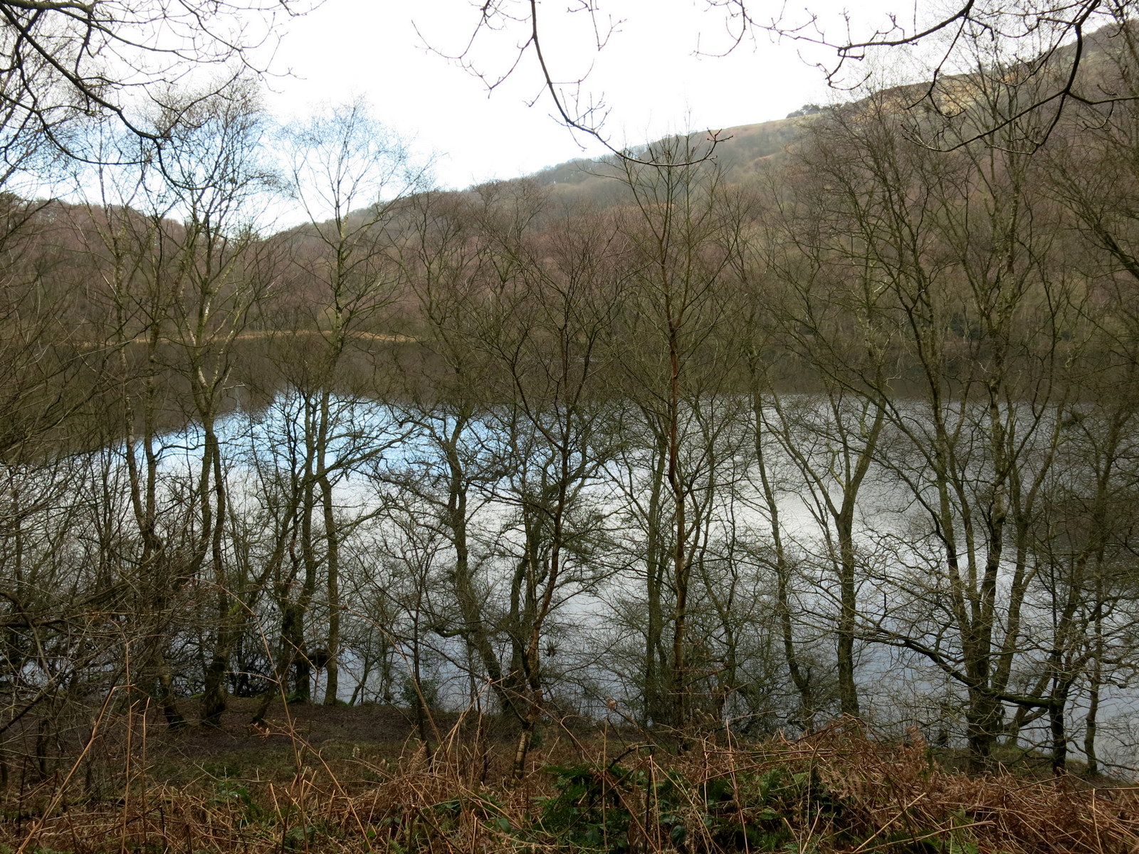 |
| View as we follow the path around the lake |
As we reached the southern end of the lake we came across a rudimentary bench with a lovely view across the lake. Too good to pass by, we sat and enjoyed our coffee and scones.

 |
| A nice spot for coffee |
We continued around the lake shore until we reached the climb to Whitestone Cliff through Garbutt Woods. We knew what to expect and a steep twenty minute climb in silence followed, punctuated only by the occasional regretful remark that perhaps we shouldn't have eaten the last few biscuits.
We reached the top at last and instead of turning left towards Sneck Gate we turned right, signposted Sutton Bank. We now walked along a path for about 1.5 miles, following the ridge, with magnificent views into the Vale of Mowbray below. TSB explains the underlying cliffs are comprised of Coral Rag or Coralline Oolite, alternate layers of coarse shelly limestone full of fossils and hard flint. During the Ice Age glacial sheets, unable to override the Cleveland Hills, swept round both sides of the moors carving out the great cliffs at Gormire and Roulston Scar. Opposite us was the cone shaped Hood Hill where a number of barrows and earthworks are located around the summit.
 |
| Up and up.. |
 |
| .. and up and up |
 |
| At the top we turn towards Sutton Bank |
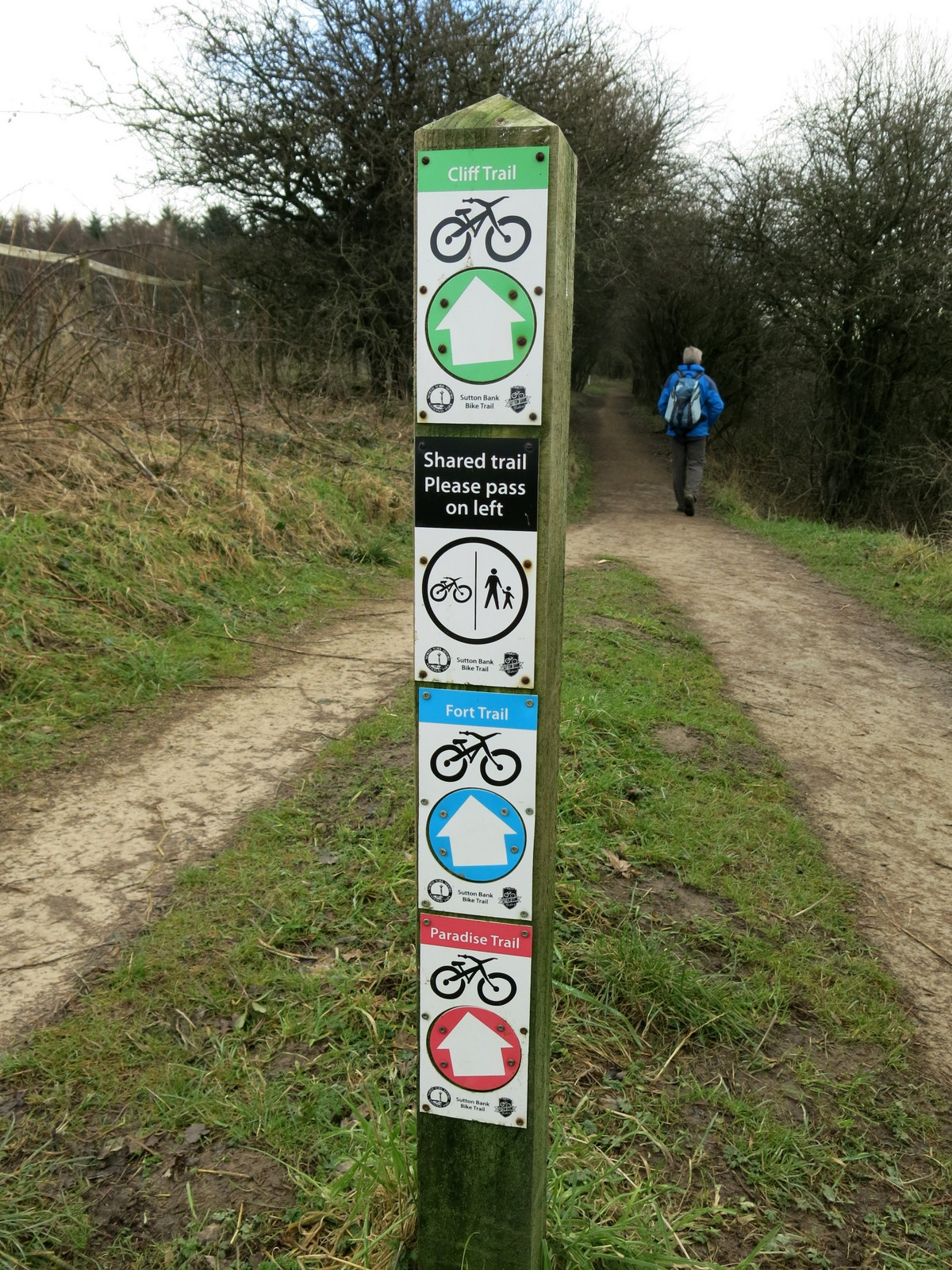 |
| A plethora of signs |
 |
| Gormire below |
 |
| Hood Hill |
 |
| Roulston Scar |

 |
| Hood Grange Farm below |
 |
| Roulston Scar |


 |
| We are above the White Horse's ears! |
 |
| Steps down to the car park |
A short drive took us to the village of Kilburn where we found the Forresters Arms and a sun trap at the front of the pub allowed us to enjoy our first outdoor pints of the year as we discussed today's walk.

 |
| Cheers! |
No comments:
Post a Comment