Exploring Scugdale from Carlton Bank
7 miles Fine and Sunny
After last week's exertions on the Inn Way I was ready for a quieter walk and Clive suggested today's walk from Carlton Bank, which we have always enjoyed. We drove up to the Lord Stones Cafe and parked in the car park, knowing that we would repay their hospitality on our return.
 |
| Today's walk from The Walker's Guide to the Cleveland Hills |
We walked back along the Carlton road until we reached a new Cleveland Way sign, and turned left off the road to follow it uphill. Almost immediately we turned left from the Cleveland Way and followed the wide access road for the old Gliding Club, now demolished, steadily uphill. We had fine views in the morning sunshine over the Cleveland Hills towards Roseberry Topping.
Reaching the moor top we turned left off the access road where a footpath sign indicated our track across the heather. The first feature we came to on this path was the rocky outcrop of Stone Ruck. Tom Scott Burns explains that Ruck is derived from the Old Norse bruga meaning 'to pile or heap up', as in a cairn.
 |
| The old Gliding Club access road |
 |
| Fine views to our left as we climb |
 |
| We leave the access road to follow a moor path |
 |
| Stone Ruck |
 |
| Stone Ruck |
We followed the path across the moor until we came to Brian's Pond where we were startled by the alarm call of geese swooping down over our heads. They landed a few yards ahead and took off again to circle us, flying low and then landing in front of us once more. We wondered if they had young nearby and were using distraction tactics.
 |
| Brian's Pond |
 |
| Breeze on the water |
 |
| We are dive-bombed |
 |
| The culprits |
Our track climbed steadily over Clough Gill Top where a signpost indicated a choice of routes. We took the right fork that ascends steadily to the moor rim where we suddenly came upon a good view of Scugdale. To our right were the rocks of Barker's Ridge and below us the buildings of Scugdale Hall.
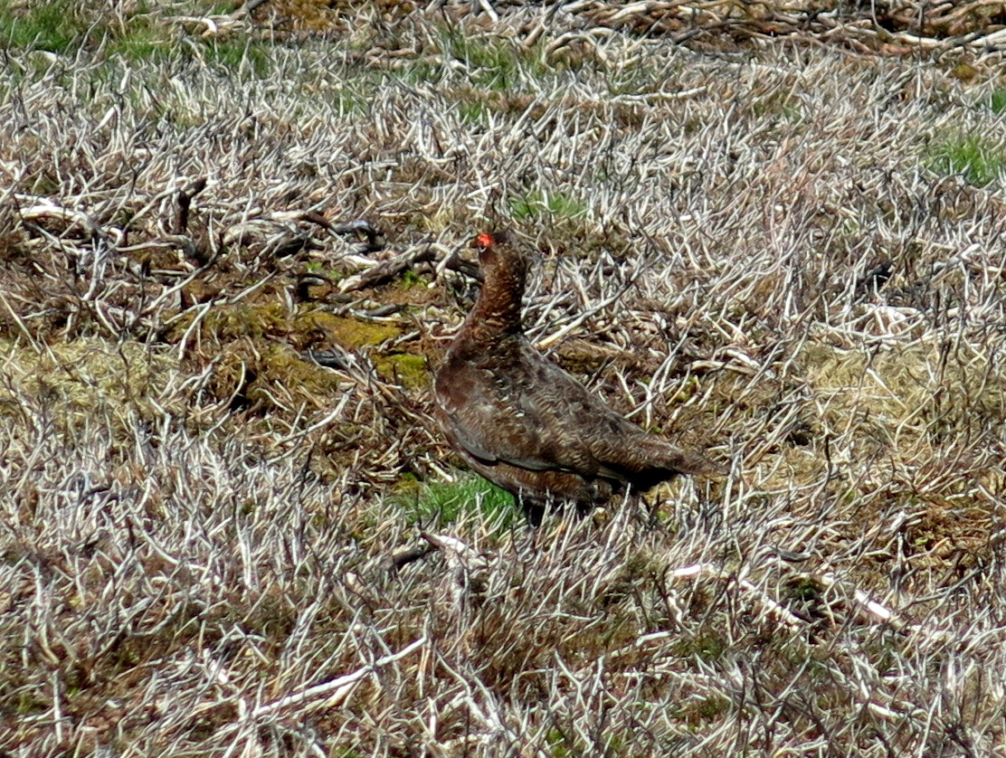 |
| Effective camouflage |
 |
| Scugdale appears in front of us |
 |
| The rocks of Barker's Ridge and the valley of Scugdale |
 |
| Old alum workings show up in the sun |
TSB refers to Scugdale as 'the sheltered dale' from the Danish skygger - to overshadow.
We descended across a couple of fields to reach the dale road where we turned left to walk towards the top of the valley and High House. In this old farmhouse lived Harry Cooper who was reputed to be the tallest man in the world, standing at 8'6". He left Scugdale to join Barnum's Circus in America and died in 1898 at the age of 41.
We found the outbuildings at High House to be in a worse state of repair than on our last visit, as can be seen by a comparison of views from the same spot.
 |
| Old brick from Linthorpe Brickworks spotted embedded in the dale road |
 |
| Approaching High House |
 |
| We are surprised at the rapid deterioration of the out-buildings |
 |
| Today |
 | ||
| Our last visit |
Opposite High House is a gated stile giving access to steeply
sloping fields. There was no path but we followed waymark signs across these fields down to Scugdale Beck, where we found (as on our previous visits) the old bridge that continues to serve no useful purpose, having been displaced by winter storms some years ago. We crossed the beck and climbed up to join a faint path that took us down the valley, walking under old alum workings. When we reached some grassy banks just before Holiday House we stopped and enjoyed our coffee and scones in the sun, looking across at Scugdale Hall.
 |
| Useless bridge! |
 |
| Stile and bridge near Holiday House |
 | |||
| Scugdale Hall and Barker's Crag from our coffee stop |
 |
| Scugdale Hall from our coffee stop |
After our break we walked on to reach the tidy little farm of Holiday House where our path went through a field containing pet sheep, who immediately approached in search of food. Clive stopped to get out the spare biscuits and suddenly became very popular, until he ran out of them.
 |
| Holiday House Farm |
 |
| The sheep makes its desires plain and Clive reaches for the biscuits |
 |
| One pet lamb is OK |
 |
| Two is just about manageable |
 |
| Clive copes with a feeding frenzy |
Leaving Holiday House we followed its long access track to the dale road, where we turned left and walked to reach the farm buildings of Fog Close. Here we turned right into the farm's track at a footpath sign, and then turned right again before reaching the farm buildings, before turning left and walking up the side of the farm towards Live Moor.
 |
| Fog Close Farm |
 |
| The hidden valley of Snotterdale runs off this end of Scugdale |
 |
| Climbing towards Live Moor |
 |
| Looking back at Scugdale |
Reaching Live Moor we followed the path along the ridge while looking down into the charmingly named and little known valley of Snotterdale, to which there is no road or path access.
Opposite a conifer plantation our path turned left across Carlton Moor where we were soon walking on the old gliding station runway before crossing to join the Coast to Coast walk, which follows the ridge with spectacular views all the way to a trig point at 1338 feet.
From here we took the steep and stony path down to the road and then to the Lord Stones Cafe where we cheerfully repaid our parking debt by purchasing a couple of pints of John Smith's Ale.
 |
| Whorl Hill from the Coast to Coast path |
 |
| Ridge walk |
 |
| Beginning our descent, Lord Stones below among the trees |
 |
| The Lord Stones Cafe |
 | ||||
| To Brian's Pond! |
No comments:
Post a Comment