Whorlton Castle and Church from Swainby
6 miles Light snow
We always seem to do this walk at this time of year, possibly because it's short and sweet so ideal for today's bitterly cold weather.
We parked at the roadside in Swainby and before crossing the river we looked at the restored pinfold, which is a sort of pen where stray animals were kept until they were reclaimed by their owners after payment of a fine.
 |
| Today's walk from The Walker's Guide to the Cleveland Hills |
 |
| Pinfold at Swainby |
We then crossed the river and walked up the high street turning left into a footpath after the Blacksmith's Arms.
 |
| Swainby |
 |
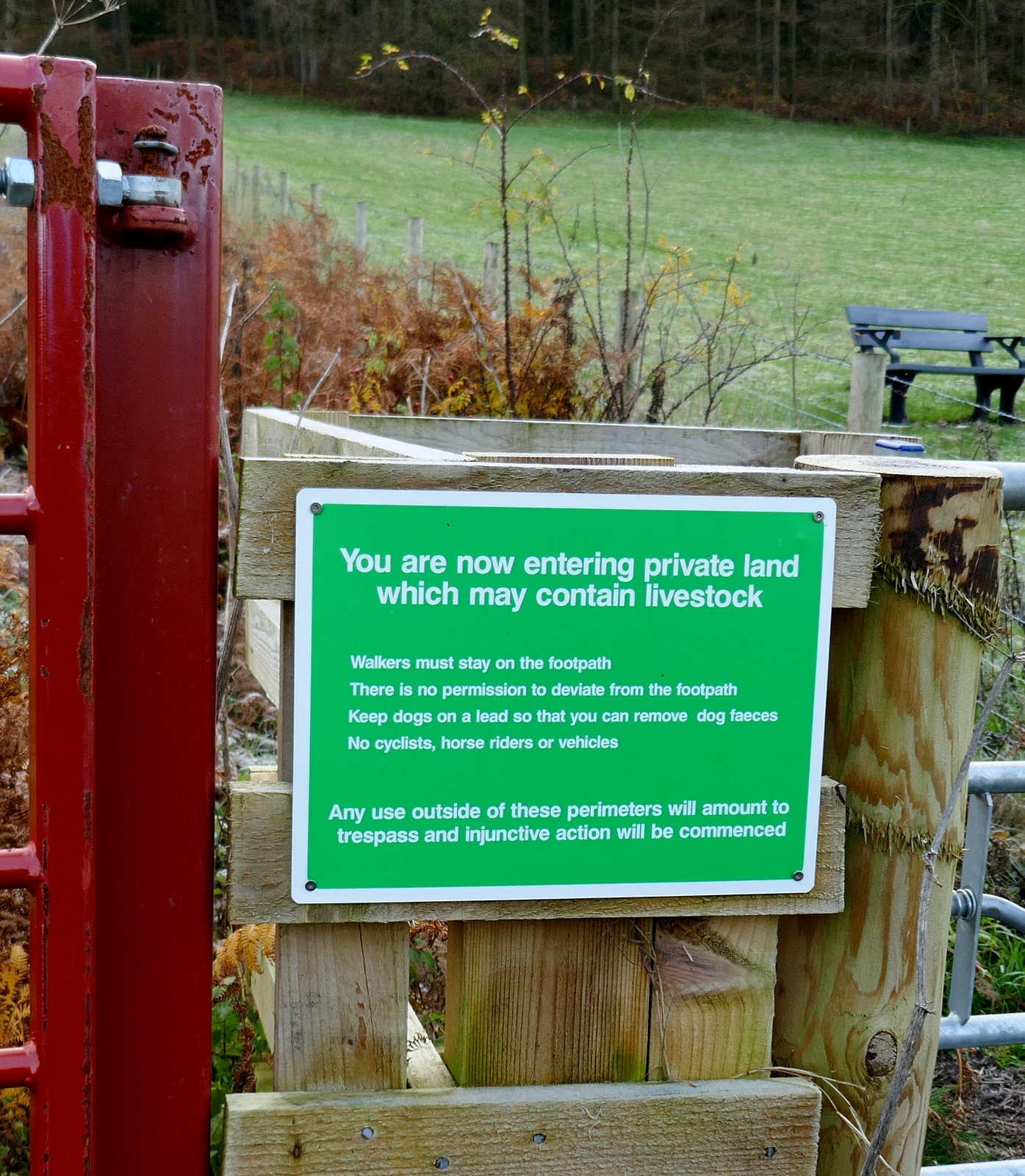
| We spot an old shotgun and several traps in this gate |
This footpath passes along the backs of houses with a playing field to the left and a small stream to the right of the path.
 |
| Walking south along Swainby High Street |
 |
| Turn left off the high street at this sign |
 |
| Follow the narrow path along the house backs |
This footpath passes along the back of houses and we quickly left Swainby, which Tom Scott Burns informs us means 'Swain's Farm', from the old Norse name Sveinn. Our footpath soon joined a lane which quickly led us to Whorlton Castle.
 |
| Looking back at Swainby along a slippery tarmac road |
 |
| Whorlton Castle, now locked front and rear |
 |
| We can see padlocks on the rear gate too |
 |
| Hardy cattle next to Whorlton Castle |
TSB tells us that there has been a number of castles on this site, even before the Domesday Book which records it as Wirueltun in 1086. William the Conqueror gave the manor to Robert Count de Mortain, and then it passed into the hands of the de Meynell family. The castle was surrounded by a deep moat over which was a drawbridge. In 1323 Edward II was known to have stayed at Whorlton Castle while hunting deer in North Yorkshire and during the Cromwellian period Royalists held the castle and were bombarded by Roundheads from Whorl Hill to the East and Toft Hill to the West.
A few yards further along, the tarmac lane brought us to the old Saxon church of Holy Cross. There is a tale that an underground passage links the castle to this nearby church and we decided to stop off to have a look round. The church was locked and we peered through the grill in the chancel door. We could just see the bog oak effigy of the second Lord Nicholas de Meynell who died in 1322. Bog oak has a significantly higher density and hardness than ordinary oak and was created when prehistoric forests were submerged under water and silt in anaerobic conditions thousands of years ago. Hence the statue still looks as good as the day it was made.
There are some very interesting tombstones dating from the early 1700s.
 |
| Church of Holy Cross |
 |
| Peering through the grill into the church |
 |
| We can make out the bog oak effigy of Nicholas de Meynell |
 |
| Rear of the building |
 |
| Mass Dial |
On the rear wall are two shields with coats of arms. One is nearly illegible but the other with three hands is the coat of arms of Bate of Easby.
Also on the rear of the church we noticed a medieval 'Mass Dial'. In days when the majority of people were illiterate these would be sited on the south wall of a church and a wooden peg (called a gnomon) would have been placed in the top hole. The Mass Dial worked as a sun dial, the shadow reaching a peg in one of the bottom holes would indicate the approximate times for mass.
 |
| East aspect of Holy Cross |
 |
'In perfect hilth he went from home, and little thought his glass was run, but dying in so short a space, I hope his soul in a good place'
|
 |
| These dates would appear to tell a tragic story |
We returned to the lane and followed it to the junction with Whorlton Lane, where we climbed a stile into fields and headed straight towards Whorl Hill, which dominates the skyline.
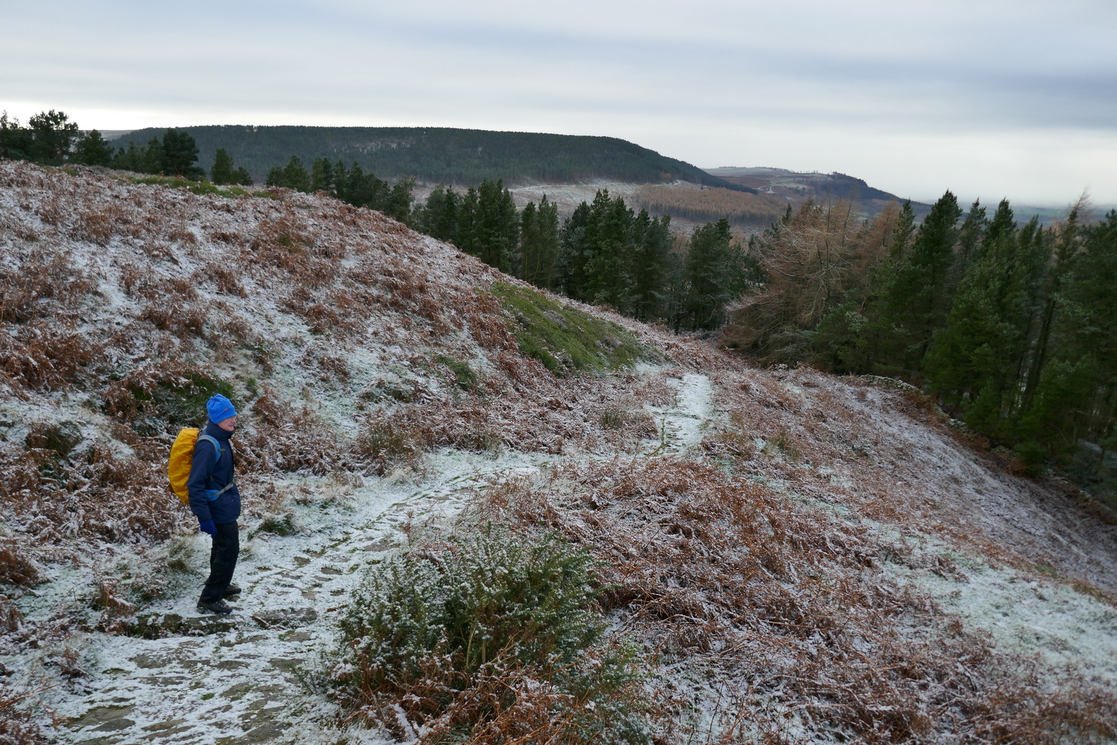
A steady climb took us into the trees of Whorl Hill (old Norse 'hvirfill' - 'high hill with a rounded top') and we continued to climb until our track levelled out and we circumnavigated the hill, just inside the tree line.
We followed the path with a fine view down to Swainby through the trees, until we dropped away from the main path to exit the woods at Bank Lane via the garden of a bungalow.
 |
| Steep climb into Whorl Hill plantation |
 |
| Circumnavigating Whorl Hill |
 |
| Steep descent to Bank Lane |
 |
| Bank Lane |
Finishing our break we climbed Gold Hill to reach the moor top and the stone path of the Cleveland Way. Here we turned right and followed the Cleveland Way, soon passing a large cairn standing on a Bronze Age burial mound.
Following the ridge path across Gold Hill and Round Hill with good views down to Whorl Hill and Swainby to our right, we eventually reached the steep descent to Huthwaite Green.
This steep descent is shown on the OS map as Knowles End but is known to Cleveland Way walkers as the Devil's Staircase. It is always slippery and in today's snow and ice required extra care. At the bottom where the path reaches Scugdale Lane is an old railway goods truck, a remnant of the mineral railway that once ran up this valley into Scugdale. Someone has used the truck as a firewood store.
We crossed the lane and passed Hollin Hill Farm and then crossed two bridges over meandering Scugdale Beck to enter fields where a faint track took us to the trees of Clain Wood.
We followed the Cleveland Way through the woods, at times walking parallel with the dismantled railway, until we reached the tarmac of the Sheepwash to Swainby road.
Here we turned right to follow the tarmac downhill to Swainby, following the road through the village.
 |
| Following the Cleveland Way |
 |
| Whorl Hill over to our right |
 |
| Weather vanes in Swainby |
 |
| Traditional regional stone dressing on house in Swainby |
 |
| House in Swainby High Street |
Having seen the old Church of Holy Cross at Whorlton we decided to pop in and see the new Church of Holy Cross in Swainby, which was built around 1875- 1877, to replace the old church at Whorlton.
We crossed the river and entered the church which was open to visitors. Flash photographs required as it was very gloomy inside and we couldn't find the light switches. We were surprised to see that there are no Christmas decorations.
 |
| Clive veers into the Black Horse |
 |
| Cheers! |


No comments:
Post a Comment