Kilburn White Horse Circular Walk
5.5 miles Fine and warm
This walk is one of the few times where we beg to differ with the start point of a Tom Scott Burns walk. He suggests parking at the pay and display car park at the information centre at the top of Sutton Bank but we prefer a car park just below the White Horse on Low Town Bank Road, shown as the P below the White Horse in the map below. This gives a better balance to the walk, we feel, with Gormire lake being reached at the half way point. The car park is now also a pay and display costing £2.50 for the day.
 |
| Today's walk from The Walker's Guide to the Hambleton Hills |
 |
| The White Horse from Low Town Bank Road |
 |
| How the Horse looks from the car park |
From the car park we crossed the road and joined a track through woods that then runs steeply downhill, parallel to the road we had just driven up.
At the bottom of the hill the track rejoins the road and here we crossed over to go through a gate with a footpath sign.
 |
| The road is to the right of our path |
 |
| Lots of Himalayan Balsam here |
We followed this farm track through the charmingly named forestry plantation of Happy Valley with views up to the cliffs of Roulston Scar on our right.
 |
| Walking through the trees of Happy Valley |
Eventually we came to a stile and way mark on our right. We left the trees here and the path now enters fields and runs alongside a new barbed wire fence. Progress was easy as we headed towards Hood Farm, directly ahead.
 |
| Turn right at the way mark and cross a stile |
 |
| The path leads directly to Hood Farm |
 |
| Looking over at Roulston Scar from the path |
The imposing building of Hood Farm appears derelict with broken windows. There were cattle in the fields and outbuildings however, so the farm must still be in use.
 |
| Hood Farm |
 |
| Cattle on our path but too hot to bother us |
 |
| Tucking in at Hood Farm |
Walking along the farm track towards the A170 we saw a neatly tended grave and memorial stone and next to it a smaller plot, marked with a horseshoe, which one presumes must belong to a much missed pet.
Reaching the busy A170 we crossed to the entrance of High Cleaves Farm, and almost immediately turned right into a field track. This leads to the little valley of Butter Dale, which TSB says was cut out by the last Ice Age.
 |
| High Cleaves Farm |
 |
| Butter Dale |
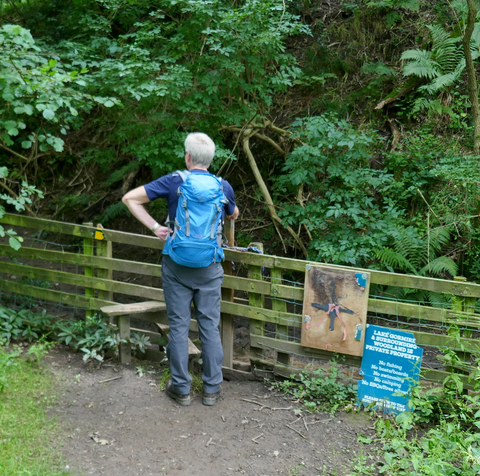
Following the footpath over a stile, a sharp climb took us to the first lake, at Gormire Rigg. At the end of this lake we turned right and climbed through trees, soon reaching the waters of Gormire.
 |
| Paths are little walked |
 |
| Cross the stile |
 |
| We reach Gormire |
We followed the lake round its southern shore and came to a perfectly placed bench made from railway sleepers that is ideal for anyone who might want coffee and scones. Gormire is indeed a very peaceful spot, possibly because it takes some effort to reach. We enjoyed our break and the only life we saw was a pair of ducks who soon joined us at the bench.
 |
| Time for a little something |
 |
| A peaceful view |
 |
| "May we join you?" |
 |
| Mmm, scone! |
There are two terraces around Gormire and TSB explains that these were once shorelines when the lake was much deeper. It is often described as bottomless but is actually about 27 feet deep in the centre and covers around twenty six acres. Tradition has it that a town stood here which was destroyed in an earthquake, but the lake is actually the result of a glacial overflow channel being blocked by a landslip, hence its position up a hillside. No streams flow from it and its waters are mainly supplied by rain and diminish with evaporation. A major landslip happened here on the 25th March 1755 which was described by Rev John Wesley as 'like many cannons or rolling thunder'.
Leaving the bench we followed the lake path anti-clockwise. It was at this spot six years ago that we saw a rare Golden Pheasant. Despite our quiet approach, sadly there was nothing to see today and we soon reached the steep climb to the top of Whitestone Cliff.
 |
| Golden Pheasant in 2018 |
 |
| Starting the long climb |
 |
| About half way up.. |
 |
| Looking across at Hood Farm and Hood Hill from the climb |
After twenty minutes we reached the top and turned right on the path, signposted Sutton Bank. We now had a ridge walk of about 1.5 miles along the top of the escarpment and in today's clear skies were able to enjoy good views into the Vale of Mowbray.
 |
| Clive cooling down after the long climb |
 |
Looking back down to Gormire and the Vale of Mowbray
|
 |
| We reach the A170 |
 |
| Where the old path has been diverted |
 |
| Health and Safety |
 |
| The Battle of Byland took place here |
 |
| Looking across at Roulston Scar from the cliff top walk |
 |
| WWII Memorial |
 |
| Looking back, Gormire now distant |
TSB explains in The Walker's Guide to the Hambleton Hills that during the last Ice Age, glacial sheets unable to override the Cleveland Hills swept round both sides of the moors, carving out the great cliffs at Gormire and Roulston Scar.
To our left we now watched the activities of gliders at Sutton Bank.
A small plane towed the gliders up, one after another.
 |
| There goes another one.. |
We walked past the Yorkshire Gliding Club and then past Roulston Scar to reach the top of the White Horse. The car park lay just below and we descended steps alongside the Horse to reach it.
 |
| On top of Roulston Scar |
 |
| The top of the White Horse |
 |
| Steep descent to the car park |
A short drive took us to the Forresters Arms in Kilburn, which is open all day and where we sat outside in the sun to discuss the short but pleasant walk.
 |
| New bench at Kilburn |
 |
To the White Horse!
|


No comments:
Post a Comment