Kildale to Baysdale and its Lost Abbey
9.5 miles Fine and breezy
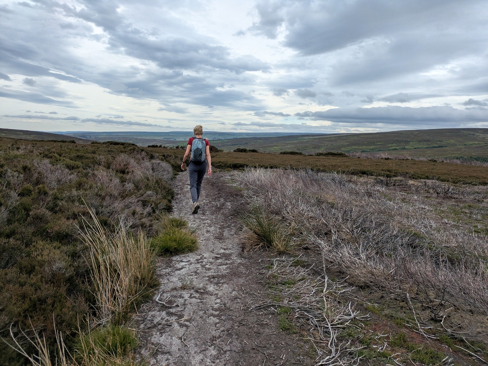
Clive is still holidaying so Carole walked with me today. We parked at the side of the road in Kildale village before setting off towards Little Kildale.
 |
| Today's walk from The Walker's Guide to the Cleveland Hills |
 |
| Kildale from our parking spot |
 |
| New use for disused bus shelter |
 |
| Kildale Hall |
Tom Scott Burns informs us that Kildale is a village of great antiquity. There are several 'Kildals' in Norway and the village was probably named by the Vikings. It was called Childale in the Domesday Book. In 1156, where the church now stands, was a wooden castle built by the Percys, Earls of Northumberland. Walking through the village we turned off the road into Green Gate Lane and climbed towards Little Kildale. Reaching the hamlet we continued along our lane through Little Kildale Wood, eventually reaching Warren Farm where we turned right towards the open moor.
 |
| Walking alongside Kildale Hall |
 |
| Turn right into Green Gate Lane |
 |
Little Kildale
|
 |
| Little Kildale Wood to the right |
 |
| Warren Farm behind the trees |
 |
| Passing by Warren Farm towards the moor |
Following our path past Warren Farm we came to a large square chimney as we descended to Leven Vale. This is the remains of an ironstone mine that was operational between 1866 and 1874. Time and effort have been given to making this a site of interest so we stopped to look around. Sadly the long grass and lack of evidence of any visitors makes us suspect that its isolated location is preventing it being visited for educational purposes.
 |
| Warren Moor Mine |
Leaving the old mine site we crossed the source of the River Leven and started a climb up through meadows towards Kildale Moor.
 |
| The source of the River Leven |
 |
| We reach the moor gate |
 |
| The first two points are impossible to follow on this walk! |
 |
| Looking back to the mine chimney and Warren Farm in the distance |
We now climbed steadily to Kildale Moor and having reached the top at 900 feet, we descended towards Baysdale Beck, soon reaching the remains of an old barn where the path turns sharp left.
 |
| Crossing the remains of controlled burning |
 |
| Two baby grouse fly off as we pass by |
 |
| Entropy |
 |
| This area is usually a bog, bone dry today |
The track, which runs parallel to Baysdale Beck, is an old lime road that enabled limestone to be carried from Commondale into Cleveland, and we followed this for 1.5 miles until we reached a tarmac road.
We turned right onto the tarmac road and walked steeply downhill to pretty Hob Hole and its water-splash, which for the first time I can remember has no water.
 |
| The old lime road |
 |
| Lots of early heather |
 |
| Baysdale Beck below |
 |
| We reach tarmac... |
 |
| ... and walk down to a dry Hob Hole |
Hob Hole was supposed to be the haunt of a mischievous hobgoblin who taunted weary travellers and TSB reports a Canon Atkinson speaking of Padfoot, "Padfoot, a precursor of death; sometimes visible, sometimes invisible, but ever and anon padding lightly in the rear of people, then again before them or at their side, and uttering a roar unlike the voice of any known animal."
We often stop here for coffee but it was very breezy so we continued uphill and stopped in a sheltered spot with a view towards Westerdale but just as we poured the coffee the heavens opened for a brief but heavy shower. We decided to move on and try again later.
 |
| Little Hograh Beck really is little today |
 |
| "Coffee?" |
 |
| Great Hograh Beck |
 |
| Another memorial at Great Hograh Beck |
TSB notes that the footbridge was built in 1938, according to an inscription, and was the work of Rowland Close, of nearby Low House Farm.
Coffee over we turned right onto a wide track and followed the path across the moor. We walked downhill and passed by the above mentioned Low House Farm to descend to Baysdale Beck.
 |
| Leaving the moor |
 |
| Low House Farm |
We passed through Thorntree House Farm before reaching the Abbey which we bypassed, walking to the north of the building.
 |
| Baysdale Abbey |
 |
| Bat box |
 |
| New conversions for guests |
 |
| Not sure who is responsible for these houses |
 |
| The old bridge is part of the original abbey |
The original abbey was occupied by 9 or 10 nuns from 1190 to 1539. TSB tells how in 1304 Prioress Joan de Percy had not adhered to the monastic rules and Archbishop Corbridge had to commit the custody of the nuns of Baysdale to Roger de Kellshay, rector of Crathorne. By 1307 Joan remained disobedient and was deprived of her post. She absconded from the abbey with some other nuns and Archbishop Grenfield ordered them back to the abbey "that they return without delay and not go outside the precincts of the abbey and serve God under the yoke of obedience..." . Records show that in fact Joan did return to Baysdale as a simple nun after doing a year's penance at the appropriately named Sinningthwaite.
We walked away from the buildings and crossed a quaint stone bridge which is apparently the only substantial remnant of the original abbey. Crossing the bridge we followed the road to a footpath sign where we turned right to climb steeply through fields, all the way to the dale top, at a height of 1050 feet, where we paused to admire the view back to the abbey and collect our breath. This is using the short cut shown on the map above as dotted line opposite Baysdale Farm.
 |
| Beginning the climb |
 |
| Looking back at the abbey as we climb |
 |
| Bracken obscures our path upwards |
 |
| Nearly there |
 |
| A last look down at the abbey |
We joined a tarmac road and turned right to follow it. After a few minutes walking on this road we saw a stone memorial to the crew of a second world war plane that crashed on Kildale Moor; sadly the crew died from exposure before they could be rescued.
There is no pub in Kildale so a short drive to Great Ayton is necessary for the debrief. This is a fine walk with a couple of vigorous climbs, ideal for a summer's day.
 |
"To Baysdale!"
|


No comments:
Post a Comment