The Hanging Stone and High Cliff from Gribdale Gate
8 miles Fair and breezy
In The Walker's Guide to the Cleveland
Hills, Tom Scott Burns relates a curious belief from a 19th century book
called 'Customs of the North Riding' which states, 'Anyone who dares to
stand near Gribdale Gate on New Year's Eve at midnight will see an old
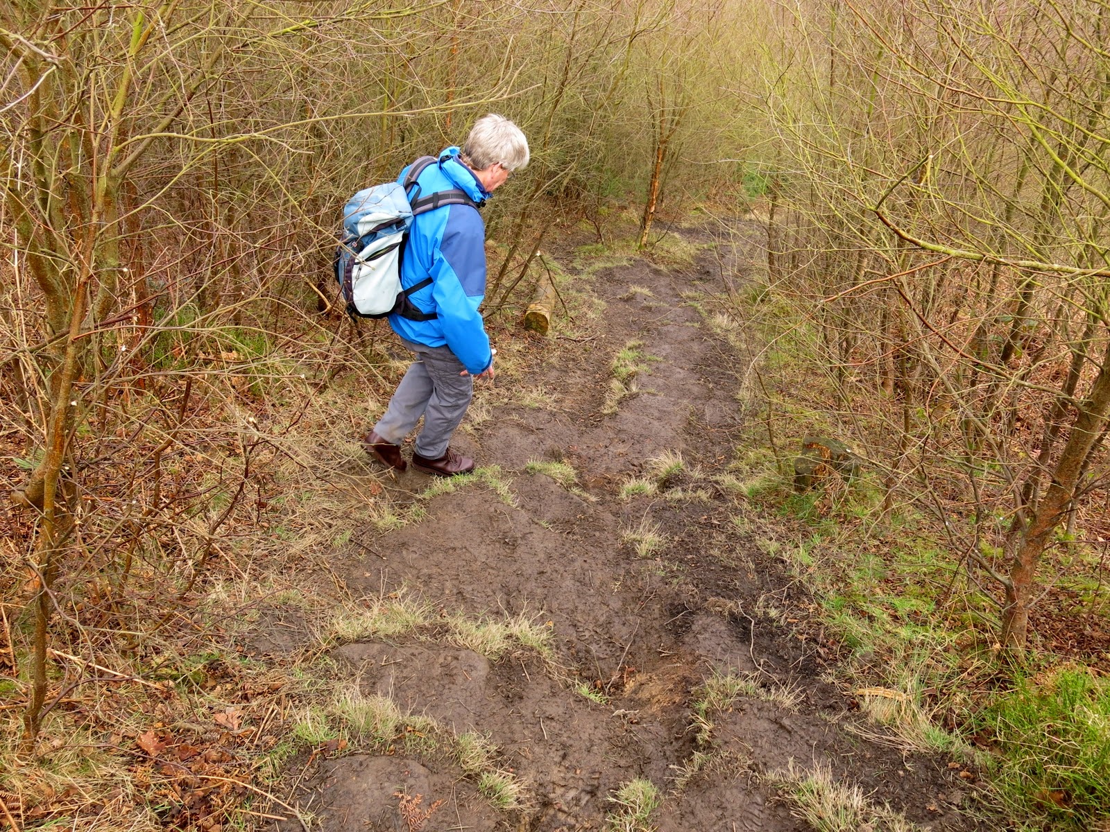
man pass through and then vanish'. But it's now mid-March and there are already other cars parked at Gribdale Gate and we watched other walkers setting off as we changed into our boots. Leaving the car we followed the footpath steeply uphill onto Great Ayton Moor.
 |
| Today's walk from The Walker's Guide to the Cleveland Hills |
 |
| Climbing from Gribdale to Great Ayton Moor |
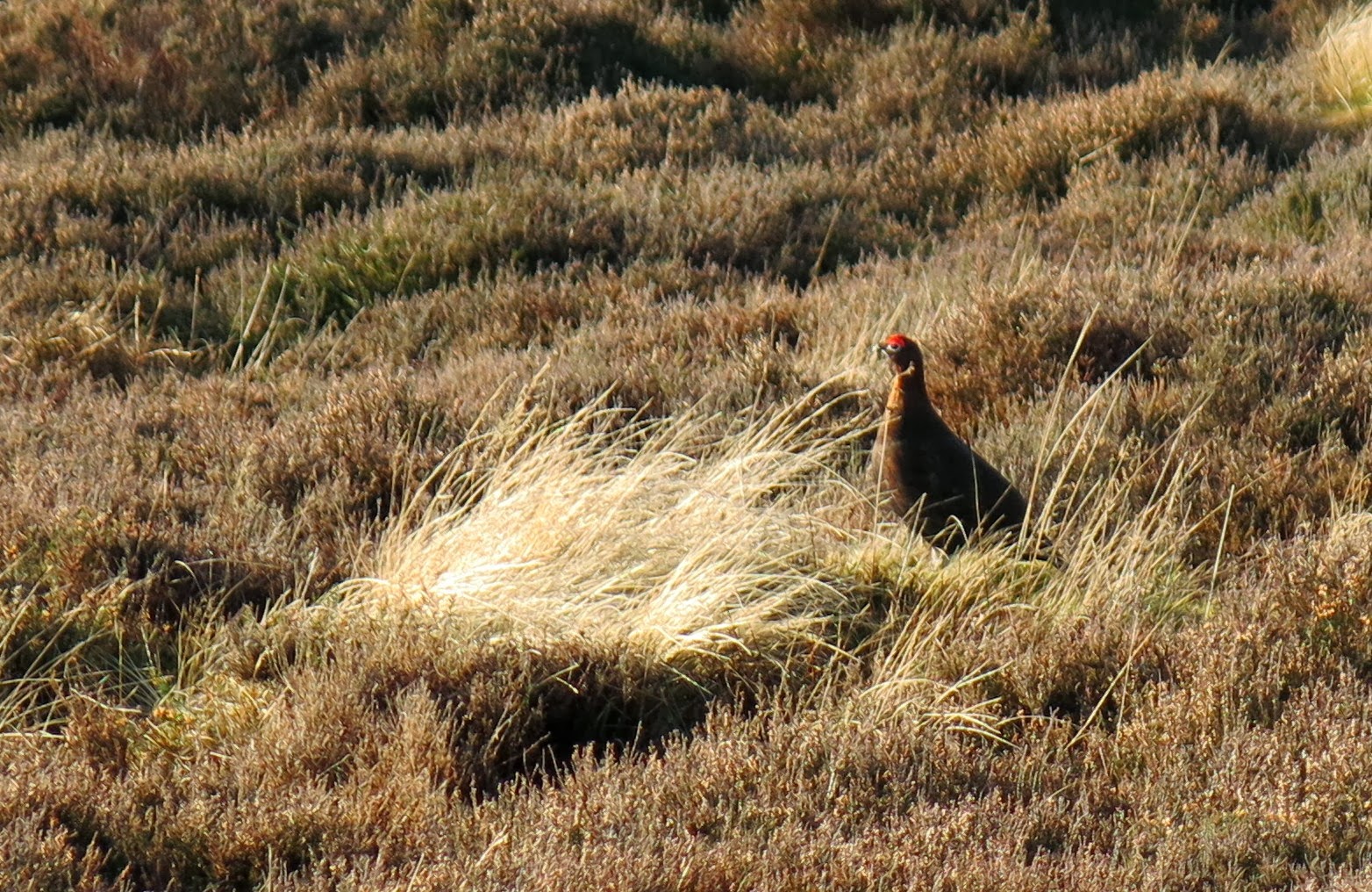
After reaching the moor the footpath followed a dry stone wall with occasional misty views over to Roseberry Topping on this rather humid morning. We came to a gate at Newton Moor but turned right just before it. Tom Scott Burns mentions that this is the site of a chambered cairn, part of a complex Neolithic burial site dating from the Bronze Age, roughly 2300 - 800BC, a time when these moors were covered with mixed forest and woodland clearance was beginning to take place. By the Iron Age the site was treeless and cultivation was in progress. Following the Iron Age, heather had spread across the moor replacing farmland, so the moors have in fact looked much as they do now since that time.
 |
| Roseberry from Great Ayton Moor |
 |
| Following the dry stone wall |
 |
| Roseberry from the site of the chambered cairn |
We followed the distinct path through the remains of a conifer wood which TSB describes as 'a corridor of trees rinsed with the scent of pine.' No more, I'm afraid those trees have gone, like so many more, to the wood burning biomass furnace of the power station.
 |
| No longer a 'corridor of trees' |
The path eventually led us to the surprise view at the Hanging Stone, a massive block of sandstone which TSB believes may have once been part of an old quarry.
 |
| We climb onto the stone for a fine view |
The track falls steeply from the Hanging Stone and is treacherously slippery, so we took our time descending through the trees to briefly join a connecting track through Hutton Lowcross Woods, then turning left to again descend to reach Hutton village road. Turning right along the road we entered Hutton village, which was built as a model village during ironstone mining of the 1850s. At the end of the village our track climbed towards Bold Venture Gill.
 |
| Descending from Hanging Stone |
 |
| A forestry worker with a sense of humour? |
 |
| 1973 Rover V8 in Hutton village |
 |
| Leaving Hutton Village to climb towards Bold Venture Gill |
We stayed on this track ignoring all turn-offs and once again were surprised at the amount of tree felling that had taken place since our last walk here little more than a year ago. No longer were there 'endless rows of conifers' and when High Cliff Nab came into view, no longer was it 'set amongst trees'. A convenient bench near to the nab proved too windy for our coffee stop so we continued onto Guisborough Moor where we hunkered down behind a dry stone wall that still allowed us a good view while we had our coffee and scones.
 |
| Forestry work at Bold Venture Gill |
 |
| Where are the 'endless rows of conifers'? |
 |
| High Cliff Nab |
 |
| High Cliff Farm from our coffee stop |
Our walk now led on to the open moor and we strode across Codhill Heights, 'Cod' being derived from the Viking word 'Keld', which means 'spring'. As we walked over the moor the sun attempted to break through the clouds and the wind dropped slightly, and we had a nice view to the very lonely buildings of Sleddale Farm. Sleddale is apparently derived from the old English 'slaed', a wide flat valley.
 |
| Codhill Heights |
 |
| Sheep at Sleddale Farm |
 |
| Sleddale Farm |
We joined a tarmac road that serves as the access road for Sleddale Farm . After a while we reached Percy Cross Rigg where our track
turned right onto a tarmac road which we followed, enjoying fine views
in all directions, until we came to a small fenced area of uneven ground
covered in dense heather. TSB notes that this is the site of Iron
Age Hut Circles, dated to around 800 BC, which were excavated in the
1960s. Unfortunately heather has reclaimed this site and the only thing
left to see is the metal sign describing the find.
 |
| Codhill Heights |
 |
| The huts have been reclaimed by heather |
 |
| The gate at Percy Cross Rigg |
 |
| 'Target' at Percy Cross Rigg |
We walked along Percy Cross Rigg, once a
prehistoric track connecting settlements at Eston Moor, Great Ayton
Moor and the Crown End Settlement in Westerdale, until we reached a gate and information board at Percy Cross Rigg. Here there is a meeting of paths which is actually the
junction of four parishes, Guisborough, Kildale, Great Ayton and Hutton
Lowcross, although there is no sign to that effect. However, we did
notice a sign declaring the area a Site of Special Scientific Interest
and saw that someone had obscured the word 'Motorcycles' from the
prohibitions on the sign. This junction is where we turned left from
Percy Cross Rigg to cut across the moor on a green path with Lonsdale
Bowl to our left. Looking at the map of the walk (above), you will see that this took us alongside Lonsdale Plantation. The trees shown on the map have also been felled, but in this case with the advantage that there is now a fine view to be had into Lonsdale Bowl.
 |
| Lonsdale Bowl |
 |
| Descending to Gribdale, Captain Cook's monument on the skyline |
 |
| Quarry workings above Gribdale Car Park |
We followed our path across Great Ayton Moor for the final leg of our walk, dropping down from the moor to our car at Gribdale Gate.