Coxwold and Beacon Banks from Kilburn
10 miles Bright with April showers
This was a new walk to us which we had avoided until now because a lot of the walk is off our North Yorkshire maps, however I found a good map of the area which could be downloaded and printed from the North Yorks Council site, click here:
We parked in the large car park outside the Forresters Arms at Kilburn knowing that we would repay their hospitality with our custom at the end of the walk.
 |
| Today's walk from The Walker's Guide to the Hambleton Hills |
 |
| From our car park |
 |
| Bench in the car park |
A mouse carved into a bench in the car park reminded us that we were in the village of 'Mouseman' Robert Thompson whose mouse trademark is now known throughout the world. His first commission was from the parish priest at Coxwold (a crucifix) and he went on to furnish the abbey church and its school at Ampleforth before his fame grew.
We walked into St Mary's Church via the top of the car park and finding it unlocked had a look round. The mouse was to be seen everywhere in the church and in fact Tom Scott Burns says that Thompson got the idea of the mouse when working in the church, when he brought to mind the expression 'poor as a church mouse'.
 |
| St Mary's Church Kilburn |
 |
| Altar window |
 |
| Mouse! |
 |
| Attractive modern window |
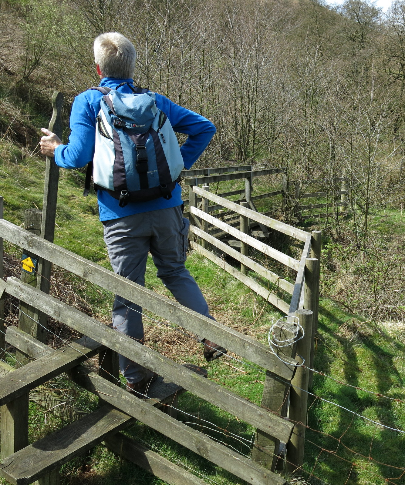
Leaving the church our path began by passing through a gate and climbing to a road that soon lead us to High Kilburn, situated on a high plateau with houses surrounding an attractive village green.
 |
| Weathervane in Kilburn |
 |
| Our path is through the gate and upwards... |
 |
| .... to High Kilburn |
 |
| Old water pump at High Kilburn |
We followed the road through High Kilburn and then turned right onto a farm track, passing Weatherill Barn, which had an unusual curlew weather vane, and walked across a couple of fields to turn right into a tree lined bridleway.
 |
| Bear right into a farm track after High Kilburn |
 |
| There's Weatherill Barn, how will we get to it? |
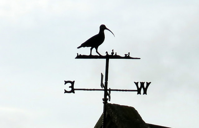 |
| Curlew weather vane at Weatherill Barn |
 |
| Looking back we see the White Horse above Kilburn |
 |
| A shadowy bridleway |
Our bridleway joined a tarmac lane and we stopped to look at a small calf at Fox Folly Farm. The farmer joined us and we asked how old the tiny calf was and were surprised to hear it was two weeks. "It was a twin and the other was not viable, sadly", said the farmer. The farmer assured us mother and baby are now doing fine and just needed some better weather to thrive. Twins are very unusual for cattle and of course that explained the calf's tiny size.
 |
| Approaching Fox Folly Farm |
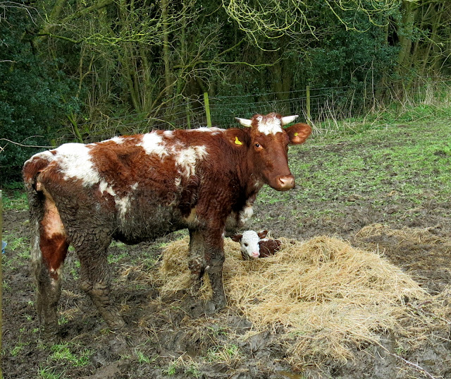 |
| A tiny calf |
Saying goodbye to the farmer we walked along the lane for a couple of hundred yards before turning left at a way-mark to join field paths. Recent downpours meant today's walking was heavy going when we had to cross fields. After three quarters of a mile we saw the rooftops of Coxwold above the trees and soon joined the main street. We left our route to walk up and down the village as neither of us had been there for many years.
We passed St Michael's Church with its unusual octagonal tower. TSB relates that in the 1760s the cleric here was Laurence Sterne, the author famous for the novel 'The Life and Opinions of Tristram Shandy', and beyond the church we came to Shandy Hall, Sterne's old home.
 |
| Like walking through treacle! |
 |
| New signs keep us right... |
 |
| Faint path across the fields |
 |
| Coxwold main street |
 |
| St Michael's Church |
 |
| Shandy Hall |
 |
| Clive admires Shandy Hall |
We retraced our steps through Coxwold and turned right at the crossroads at the bottom of the village and began a steady climb. After half a mile we turned left into field paths and continued to climb until we reached a stile at High Leys Farm.
 |
| Retracing our steps through Coxwold |
 |
| Back onto field tracks |
 |
| Looking at the White Horse from High Leys Bank |
 |
| Fancy hens at High Leys |
|
|
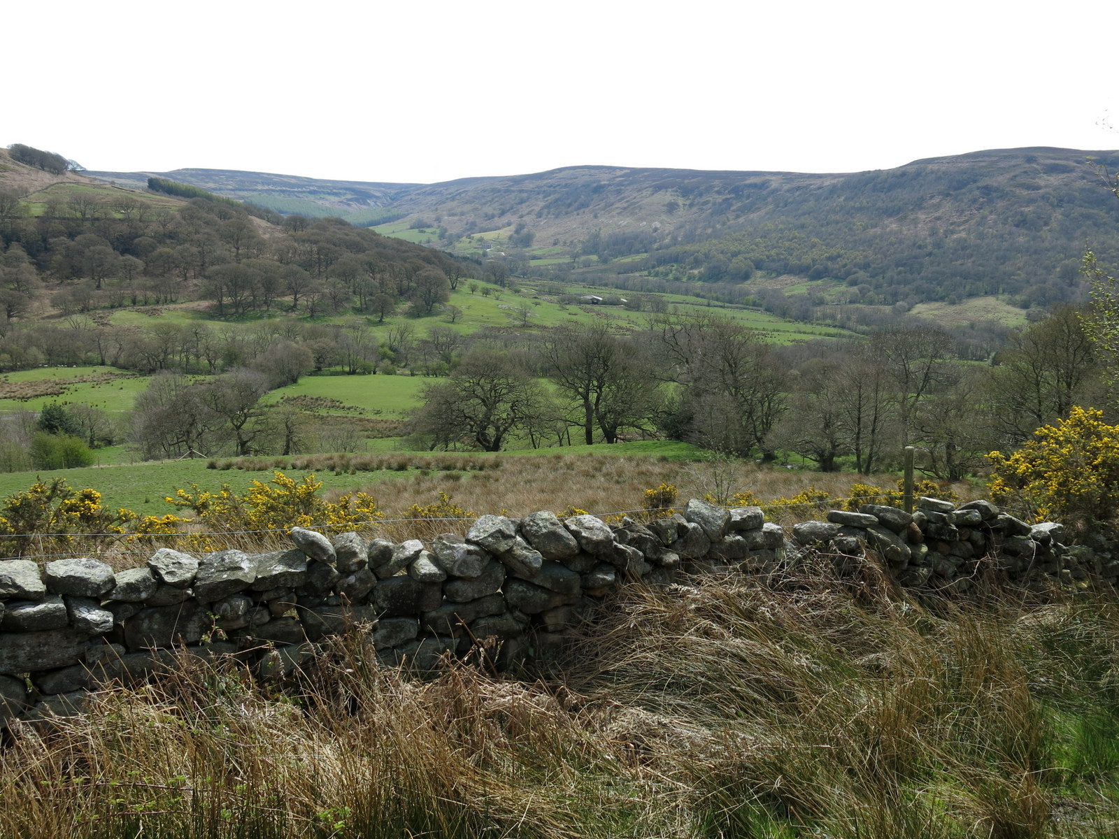
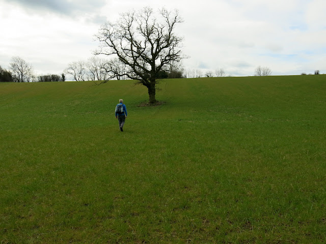
We climbed the stile and turned right onto the farm track and then, at a left hand bend, turned right to climb onto the ridge of Beacon Bank. At first our view was obscured by the trees of Beacon Bank Wood but after half a mile we left the trees and soon found a well placed tree trunk. An ideal seat which gave us a fine view towards the White Horse as we enjoyed our coffee and scones.
 |
| Just right for a coffee break! |
 |
| With a fine view to the White Horse |
 |
| Clouds gather as we pack up to leave |
 |
| Trig point on Beacon Hill |
As we finished our coffee we noticed dark clouds coming towards us. We were going to get wet! We set off along the ridge as rain began to fall. Below us Husthwaite became fainter in the gloom and we were suddenly surprised to see a large herd of alpacas as we approached Lists House on the outskirts of the village.
We dropped into Husthwaite and were impressed with the impeccable old houses and the tidy parish church of St Nicholas, which, according to TSB, is full of 'mouse' furniture. Today's walk is quite long however and we decided we would have to leave exploration of this church to another day. We left the village and turned into a tarmac lane signed to Baxby Manor.
 |
| Husthwaite through the rain |
 |
| Alpacas near Husthwaite |
 |
| Houses in Husthwaite |
 |
| St Nicholas' Church |
 |
| Entering the lane to Baxby Manor |
We came to a caravan site and a small grass airfield with wind socks before passing through the remains of an old railway bridge and entering Ings Lane. We followed Ings Lane for a mile as showers came and went. To our right we now had a constant view of the White Horse and on our left we had a real white horse, who was very interested in Clive's Jakemans Throat and Chest lozenges. In fact the horse enjoyed the sweet so much it followed us for the length of the field where it was rewarded with an apple from the bottom of Clive's bag. The apple core was appreciated by sheep who had noisily been making it plain that they wanted to join the party.
 |
| Oh, good! |
 |
| Showers for the rest of the afternoon |
 |
| To our right, The White Horse... |
 |
| .... and to our left, another white horse. Clive treats this horse to a Jakemans lozenge |
 |
| Wow! |
 |
| "That hit the spot!" |
 |
| An apple for dessert.. |
 |
| "Where's ours?!" |
Ings Lane joined the road at Carlton Husthwaite and we turned left to walk through the village, past the parish church of St Mary's, again to be explored on a future date. At the end of the village we turned right into a lane signposted Croft Lane, which we followed unto we reached Mill Dyke Lane. Then we turned right into Common Lane and followed it towards Common Hall Farm. The last three miles had been on good surfaces but just before Common Hall Farm we turned right at a sign, into fields and our last two miles became increasingly heavy going.
 |
| St Mary's Church, Carlton Husthwaite |
 |
| Attractive beamed house in Carlton Husthwaite |
 |
| Leaving Common Lane |
 |
| Our paths become steadily worse |
 |
| The last half mile was very bad |
Our path back to Kilburn was along a green lane but tractors had recently been used to cut the hedges and seemed to have used every inch of the lane, leaving no verge for us to avoid their muddy tracks.
At the end of the lane we came to a scrap yard full of old bangers and stopped to pass the time of day with a piebald pony, before turning left into Kilburn and walking back to our car. A quick change of footwear and we were soon enjoying a well earned pint, sitting outside the Forrester's Arms.
 |
| "Any lozenges?" |
 |
| Back into Kilburn |