"There must be dales in Paradise
Which you and I will find.."
Showing posts with label "Holy Trinity Church Boltby". Show all posts

Sunday 21 April 2019


The Drove Road and Windy Gill Ridge from Boltby


7 miles                                 Hot and sunny


We drove through Boltby and parked at a hard shoulder on the right hand side of the road.  After booting up we continued walking uphill along the same road away from the village, until turning left at a footpath sign into a farm track to Lunshaw House Farm.


Today's walk from The Walker's Guide to the Hambleton Hills

Looking up to the trees at High Barn on the sky-line
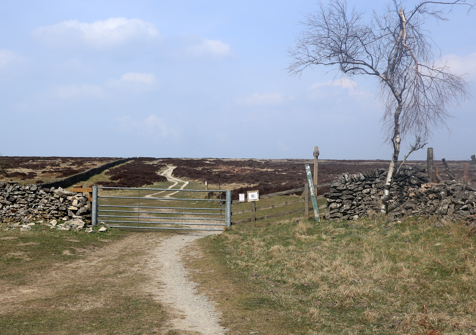

Turn left ahead

Before reaching the farm we crossed a stile on the right to follow a field path signposted Low Paradise.  Our path followed the camber of the hill for some time, which meant walking at an awkward 45 degree angle, until it dropped down into woods before Lunshaw Beck.  


Follow the sign to Low Paradise


Aim for the gate


Head down to cross Lunshaw Beck

Crossing the beck we started a mile long ascent which TSB describes as a 'muscular climb'.  We passed by the always well ordered Low Paradise Farm and continued to climb to reach Oak Cottage.


'Muscular' climb to Low Paradise Farm

Lambs at Low Paradise Farm

Low Paradise Farm

Hounds at Oak Cottage

Oak Beck Cottage

The track continues to climb relentlessly upwards until reaching High Paradise Farm where we were delighted to find the tea room open, although we appeared to be their first customers.

We sat outside in the sun to enjoy scones and coffee, just in time, as within minutes a large walking group arrived and took the rest of the tables.

We are now on the Cleveland Way

Final climb to... 
...  High Paradise Farm


Wake up - customers!

Scones al fresco
We had a leisurely stop in the sun at High Paradise Tea Room but eventually it was time to move on.

Leaving the farm we walked towards Sneck Gate and the moor.  Passing through the gate we were now on the Hambleton Drove Road, which we followed left, soon reaching forest.

We walked on through the trees for some time and then, just before reaching the ruins of Steeple Cross (first mentioned in 1246 but no longer a cross, now just a 2 feet high piece of stone) we turned left to enter the plantation's trees.

Leaving High Paradise...
... towards Sneck Gate

The remains of Steeple Cross
We walked through the forestry plantation and emerged at Gallow Hill where we had a view towards Cowesby village far below.

Forestry plantation

Cowesby village below
We turned left at Gallow Hill and followed the broad path to Windygill Ridge. To the left of the path along the ridge is a forestry plantation, ahead the Vale of Mowbray and to the right, Black Hambleton and the hummock of Seta Pike, about a mile ahead.

Just after passing Seta Pike our path turned left on to a steep forestry path.  The track was rather faint and although dry today, normally can be boggy; the steep descents are slippery and progress was slow.   The path eventually levels out and we picked our way through Gurtof Wood, looking down on Gurtof Beck running below us.  Quite a lot of trees have been blown down and a few had fallen awkwardly across the path making frequent diversions necessary.  

Turn left off the path near Seta Pike

A steep downhill to Gurtof Wood

A couple of miles walking through trees

Gurtof Beck to our left

Sometimes the path becomes indistinct... look for the yellow dots

Go towards the light!  Out of the woods at last

We followed the indistinct path through the woods until we reached a gate leading into fields.


We then walked through fields using way-marks on the field boundaries as guides until we joined a wide track.  We followed this to a green lane, which, after passing by a smallholding with sheep and a horse, led us to Boltby.


Now on a wide path..

.. and then a green lane

Our path exited at the west end of Boltby village and we turned left to walk along the road.  Set back from the road is Holy Trinity Church and finding it unlocked we were unable to resist having a look around.  The church is in very good repair considering that, as TSB points out, it was first erected in 1409 and rebuilt in 1859. We were very impressed by the timber cross sections in the roof which are striking to look at.


Sheep in smallholding at Boltby

We are warned off!


Holy Trinity Church

Looking towards the altar

Side window

Altar window


Clive soaks up the ambience.... or rests his feet


The churchyard seems to contain only fairly recent graves and a further look at our guidebook 'The Walker's Guide to the Hambleton Hills' explained why: apparently it was the custom until Victorian times to carry the dead from Boltby for burial at Felixkirk, "swathed in linen and uncoffined."  It would be interesting to know the reason for this practice but unfortunately the book does not give one. Strange, when they had a perfectly good church in Boltby.


Cottage in Boltby

Weather vane in Boltby

Boltby

We continued through the village and then up the steep hill back to the car park.


Friday 15 March 2019


Boltby to Gormire Lake and Whitestone Cliff

7 miles                  Very windy


Strong winds today as Storm Gareth passes over North Yorkshire. Tom Scott Burns visits Gormire Lake on two of his walks, from Kilburn and this one from Boltby.


We reached Boltby from the A19 Knayton turn off and drove right through the village and up a steep hill to a small designated car park at the side of the road.

We walked back down the road into Boltby and took the first left into a lane.  Tom Scott Burns explains that Boltby is of great antiquity and is mentioned in the Domesday Book as the property of Hugh, son of Baldric.

Today's walk from The Walker's Guide to the Hambleton Hills

Walking back to Boltby

The Old School House, Boltby

Weather vane in Boltby


We passed the last of the houses and soon our lane petered out and we went through a gate to follow a faint track over the shoulder of Little Moor, where we said hello to the first of many hikers we saw today, this group sitting among the trees having an early snack.


The lane ends at this ford


Texel Toughs, rams in a nearby field


Looking back to Boltby


Hikers ahead


Greendale Farm


We rarely see other hikers when on a TSB walk but today we must have passed eight groups.  After circumnavigating Cow Pasture Wood we dropped down to Greendale Farm and followed the path around the side of a hill to reach Tang Hall Farm where we turned left just before the buildings.

Greendale Farm


Tang Hall Farm

Very soon we were on a bridleway, once an old coach road, which crosses Huggon Howl to Southwoods Hall.  Here we found we were kept to the bridleway by new fencing which stretched right across Huggon Howl, past the Hall to reach the trees at Midge Hole Gate.  Work was ongoing and we chatted to a workman who explained the double lines of fencing would soon enclose new hedging.  

We walked past the hall, hidden from view behind its own high hedge, and as we reached Midge Hole Gate were pleased to see a small herd of deer grazing.  We watched them for a while, (sadly no zoom on my camera) and then as we opened the gate hoping to get nearer, we were spotted and the deer ran off into the trees.


We are kept to the bridleway


Southwoods Hall


New fencing all the way across Huggon Howl


Fish pond in front of Southwoods Hall


Deer grazing


We're spotted and they're off!

We turned into South Woods on a forest path which we followed to reach Southwoods Lodge, sporting a new coat of paint and looking much smarter than on our last visit.


In to South Woods


Southwoods Lodge

On reaching the lodge we followed the track straight ahead through Garbutt Wood, eventually reaching Gormire Lake where we were startled by a voice saying "Now then."  Almost hidden in the bushes were bivouacs and a black hammock, which is where the voice came from although its owner was invisible to the eye.


There were three 'rough campers' and we chatted to them about what fish they hoped to catch before moving on to our usual spot by the lake bank, where we sat in the sun to enjoy our coffee and scones.


Walking through Garbutt Wood


Gormire ahead!


"Now then!" There's someone in that hammock..


Hoping for a catch


Our time in the sun


The view across Gormire


There are two terraces around Gormire and TSB explains that these were once shorelines when the lake was much deeper.  Its is often described as bottomless but is actually about 27 feet deep in the centre and covers about twenty six acres.  Tradition has it that a town stood here which was destroyed in an earthquake, but the lake is actually the result of a glacial overflow channel being blocked by a landslip, hence its position up a hillside.  No streams flow from it and its waters are mainly supplied by rain and diminish with evaporation.  A major landslip happened here on the 25th March 1755 which was described by Rev John Wesley as 'like many cannons or rolling thunder'.


Finally it was time to go and leaving the lake we climbed straight up through Garbutt Wood to reach Sutton Brow.  This is a steep half mile diagonally up the side of the bank and we were much warmer by the time we reached the top.  From here there is a fine view back to Gormire Lake and to the left over towards Roulston Scar.  After catching our breath we set off past Whitestone Cliff, still looking down at the lake from various vantage points.

Storm Gareth was blowing a gale up here but the wind was generally to our side, pushing us away from the cliff edge.


A steep climb after coffee


Hood Hill from our climb


Not far now...


Made it!


Worth the climb


Good job we're being blown away from the edge..

We now had a three mile walk along the ridge, passing the remains of several tumuli to our right and with fine views to our left over Thirlby and then Boltby.


Whitestone Cliff


Thirlby


Eventually we passed by the remains of an old hill fort and quarry and reached the derelict High Barn where we left the ridge at a sign, turning left to descend towards Boltby.


Boltby

Tom Scott Burns explains that the fort originally had a D shaped rampart enclosing three acres.  Gold earrings from the early Bronze Age have been unearthed, along with pottery from an earlier culture, probably Neolithic.


Quarry and fort


You can tell you're on National Trust land by the plethora of signs


Approaching the old barn


Turn left downhill at the barn

A steep downhill took us past Hesketh Grange Farm, over a couple of bridges and then steeply back uphill, towards Boltby and the car park.


A steep descent 


Looking back towards Boltby Scar, the trees on the horizon are at the old barn


The end of the walk