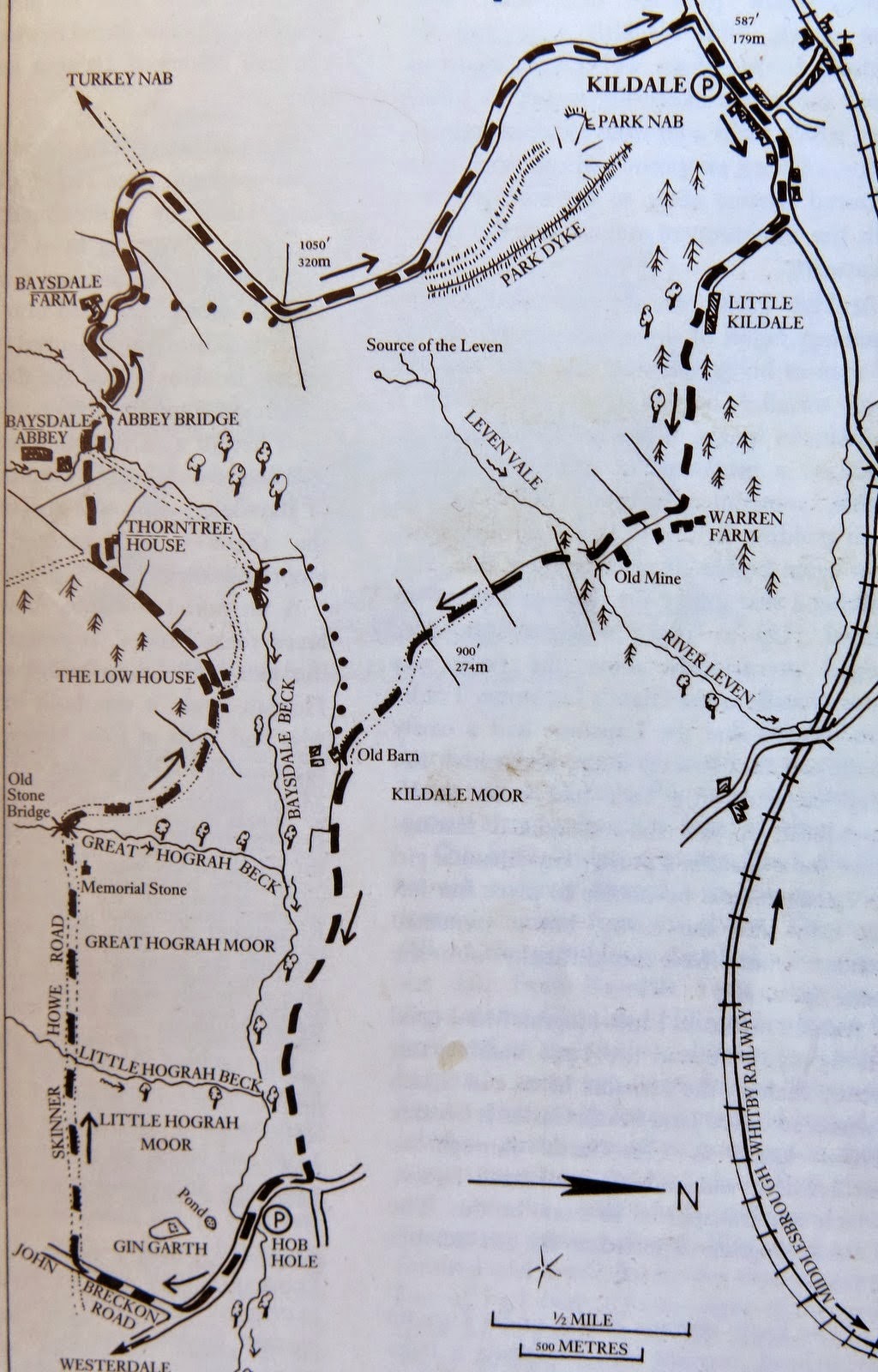
Kildale to Baysdale and its Lost Abbey
9 miles Sun and Cloud
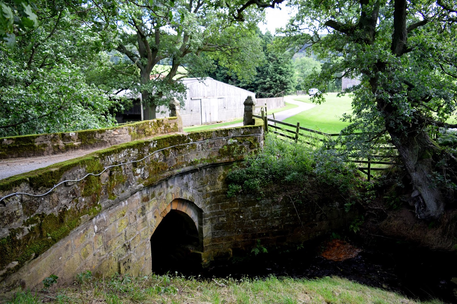
We parked in Kildale at the side of the road and left the village towards Little Kildale.
 |
| Today's walk from The Walker's Guide to the Cleveland Hills |
Tom Scott Burns informs us that Kildale
is a village of great antiquity. There are several 'Kildals' in Norway
and the village was probably named by the Vikings. It was called
Childale in the Domesday Book. In 1156, where the church now stands,
was a wooden castle built by the Percys, Earls of Northumberland.
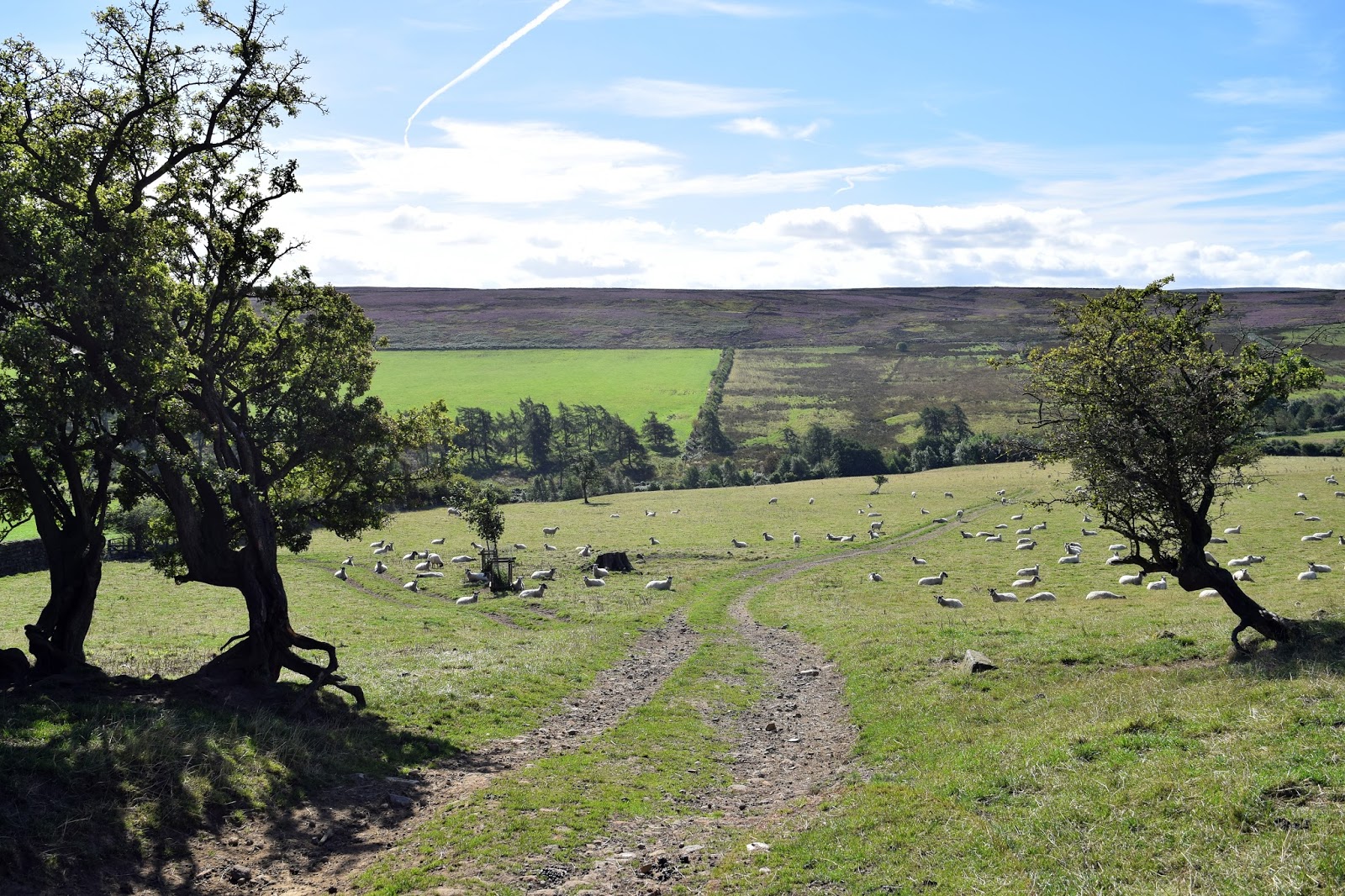
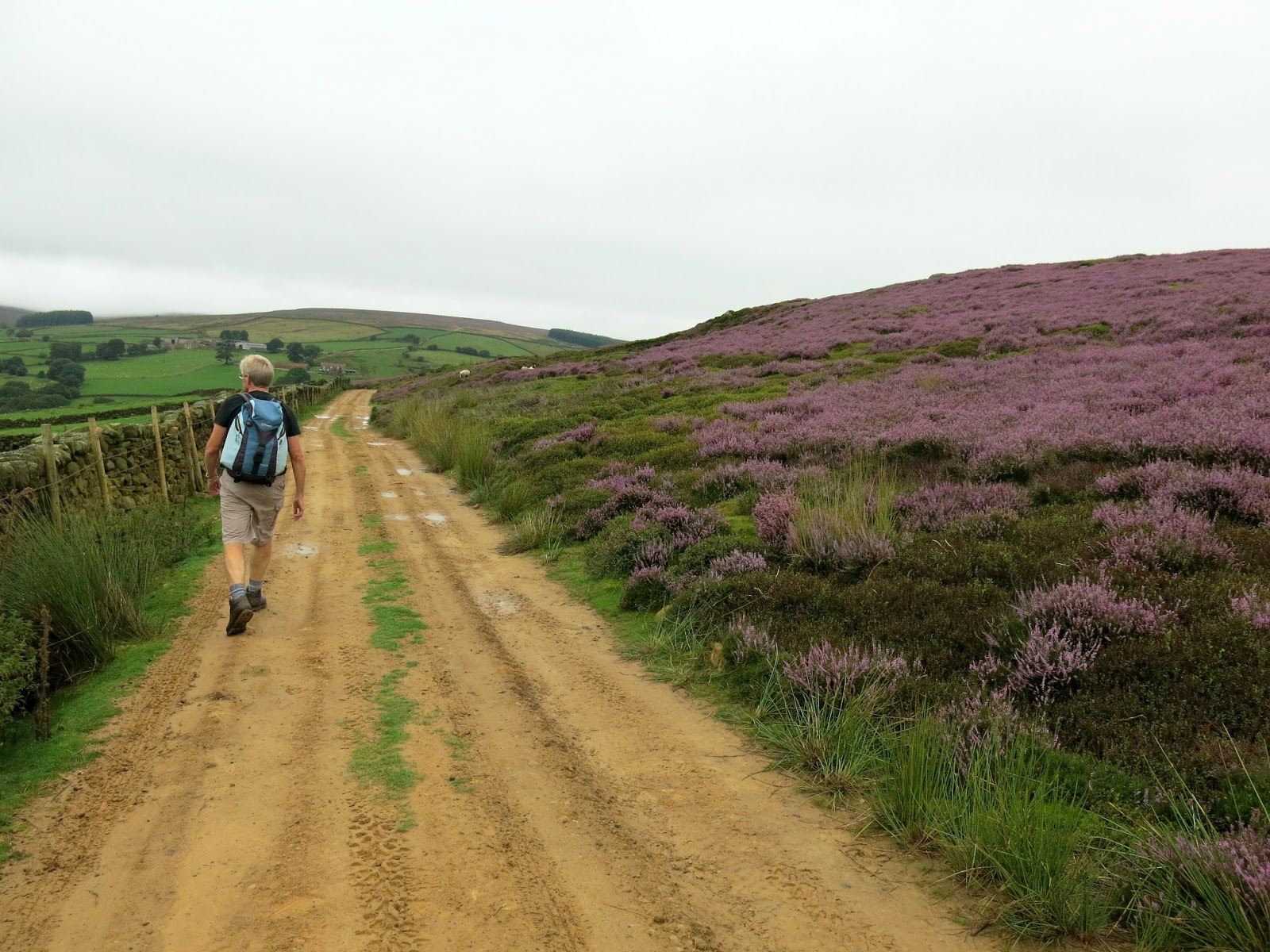
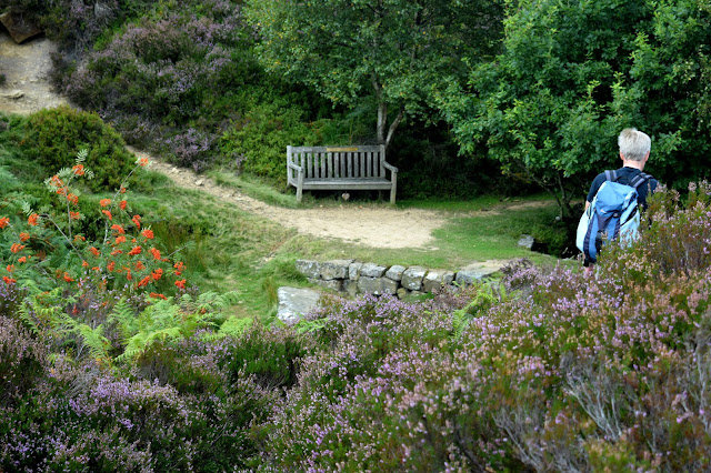
Walking through the village we turned off the road towards Little
Kildale and passed through a couple of sheep fields before reaching
Little Kildale Wood and then on to Warren Farm, where Clive had spent a
happy summer holiday when a schoolboy.
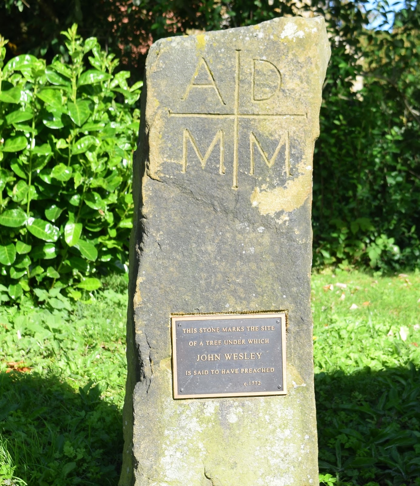
 |
| Memorial stone near to Kildale Hall |
 |
| The Old Rectory, Kildale |
 |
| Walking towards Little Kildale |
 |
| Pheasants lead us along the road |
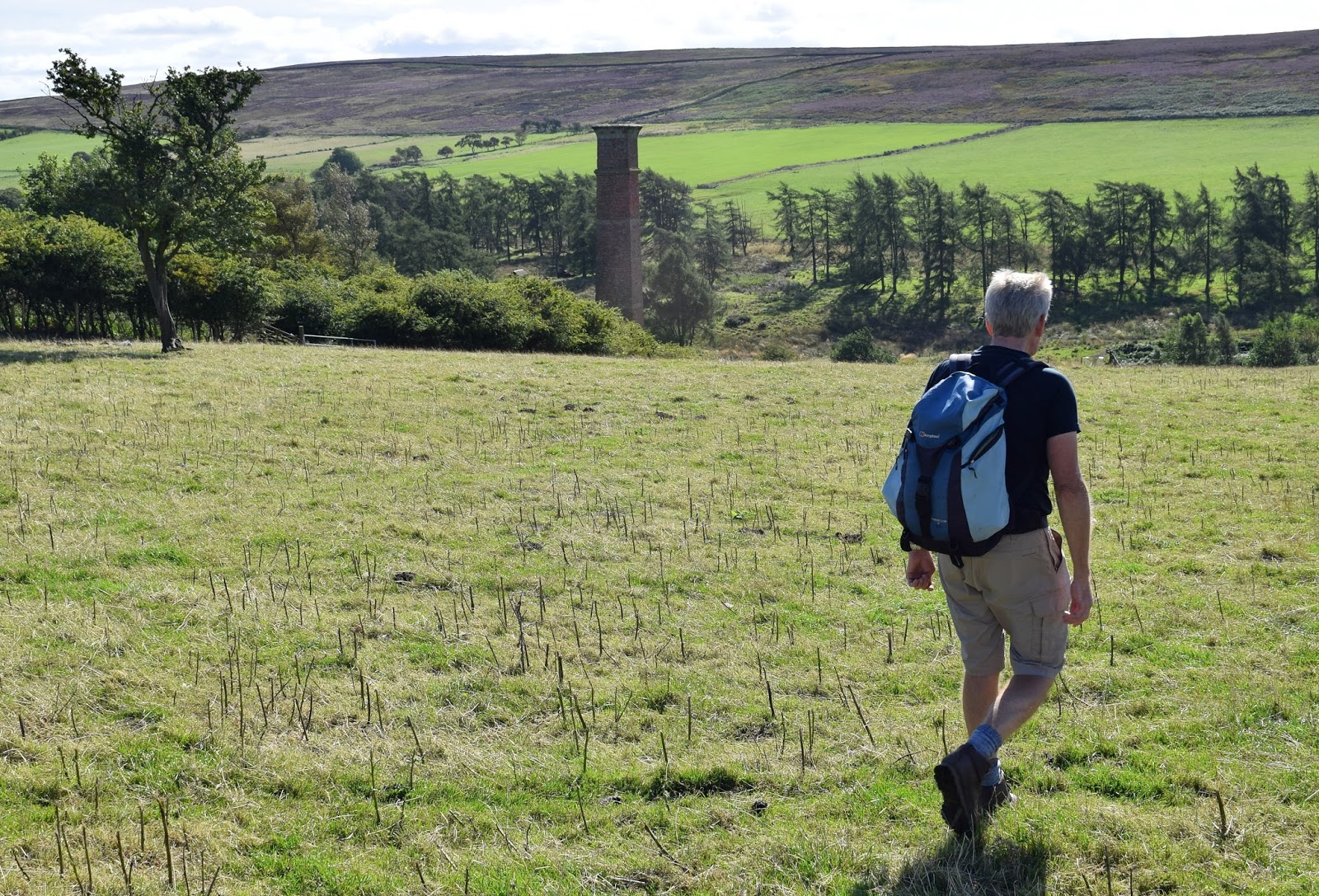
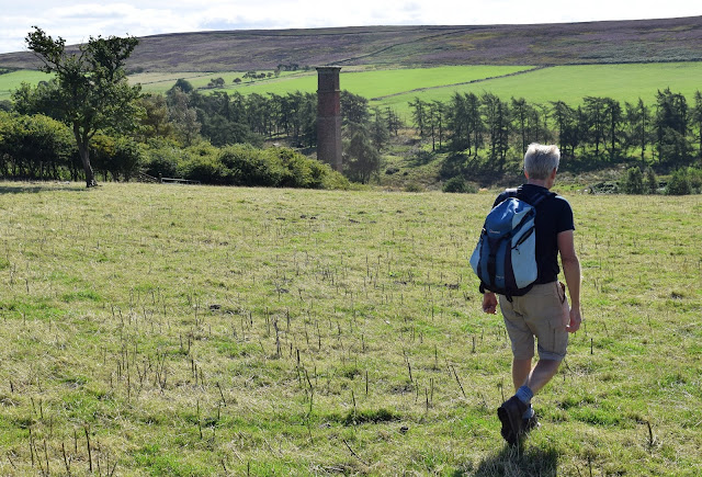
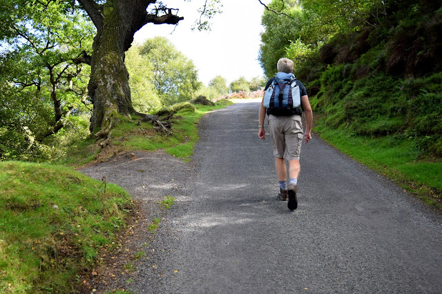
Following our path past Warren Farm we
came to a large square chimney as we descended to Leven Vale. This is
the remains of an ironstone mine that was operational between 1866 and
1874. Crossing the River Leven, whose source was just to our right, we
started a climb up through meadows towards Kildale Moor.
 |
| Leaving Warren Farm towards Kildale Moor |
 |
| Ironstone Mine chimney |
 |
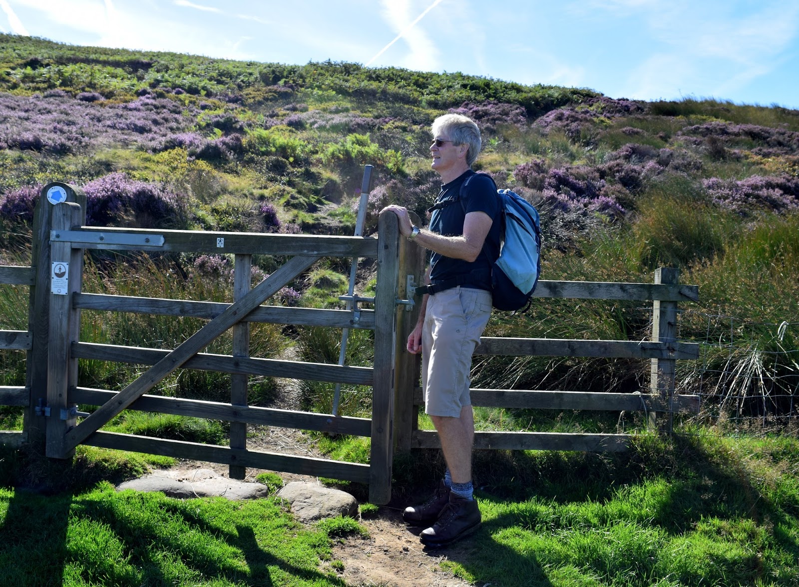
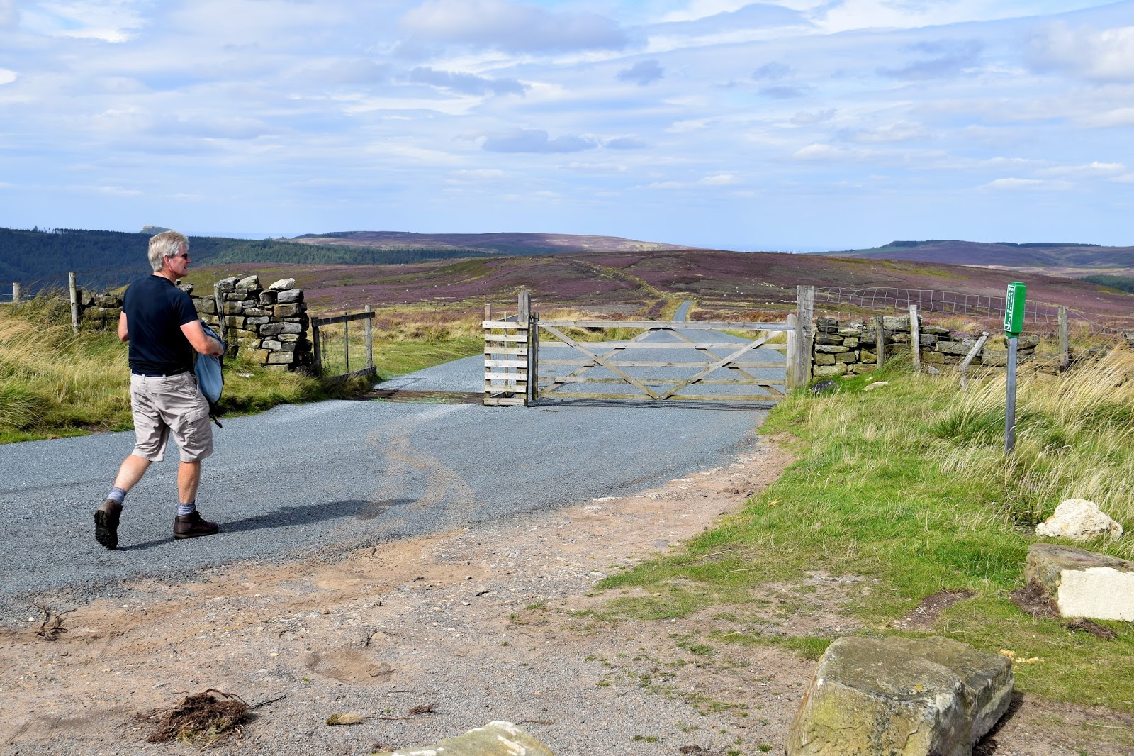
| Passing the moor gate |
 |
| Looking back towards Warren Farm |
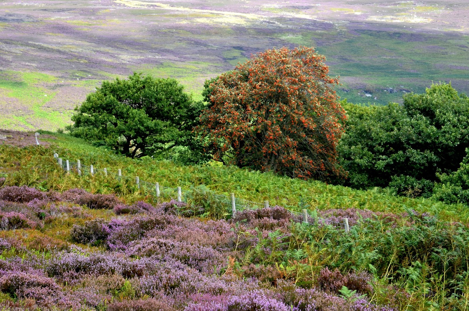
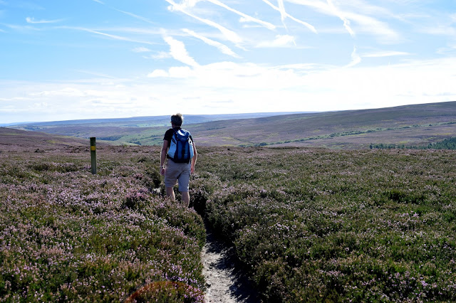
We climbed steadily to Kildale Moor and having reached the top at 900 feet, we started to descend towards
Baysdale Beck, soon reaching the remains of an old barn where our path
turned sharp left.
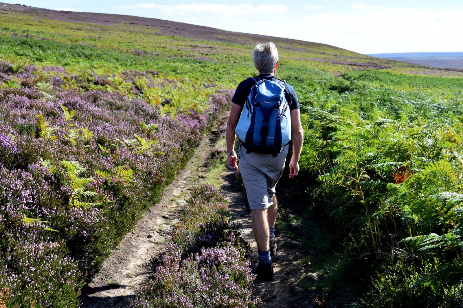
Our track, which runs parallel to
Baysdale Beck, is an old lime road that enabled limestone to be carried from
Commondale into Cleveland, which we followed for 1.5 miles until we
reached a tarmac road.
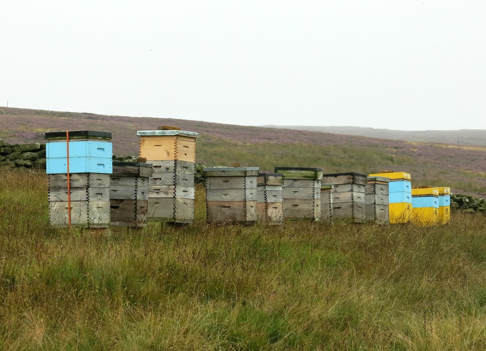
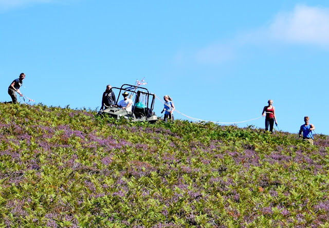
As we walked we watched a team of workers on the moor making their way through the thick bracken and heather aided by a vehicle. They appeared to be spraying the bracken and we didn't envy them their job. It must be difficult ground to walk through all day.
 |
| Crossing Kildale Moor |
 |
| Descending to the old farm buildings near Baysdale Beck |
 |
| We turn left and follow the old lime road |
 |
| Bracken spraying |
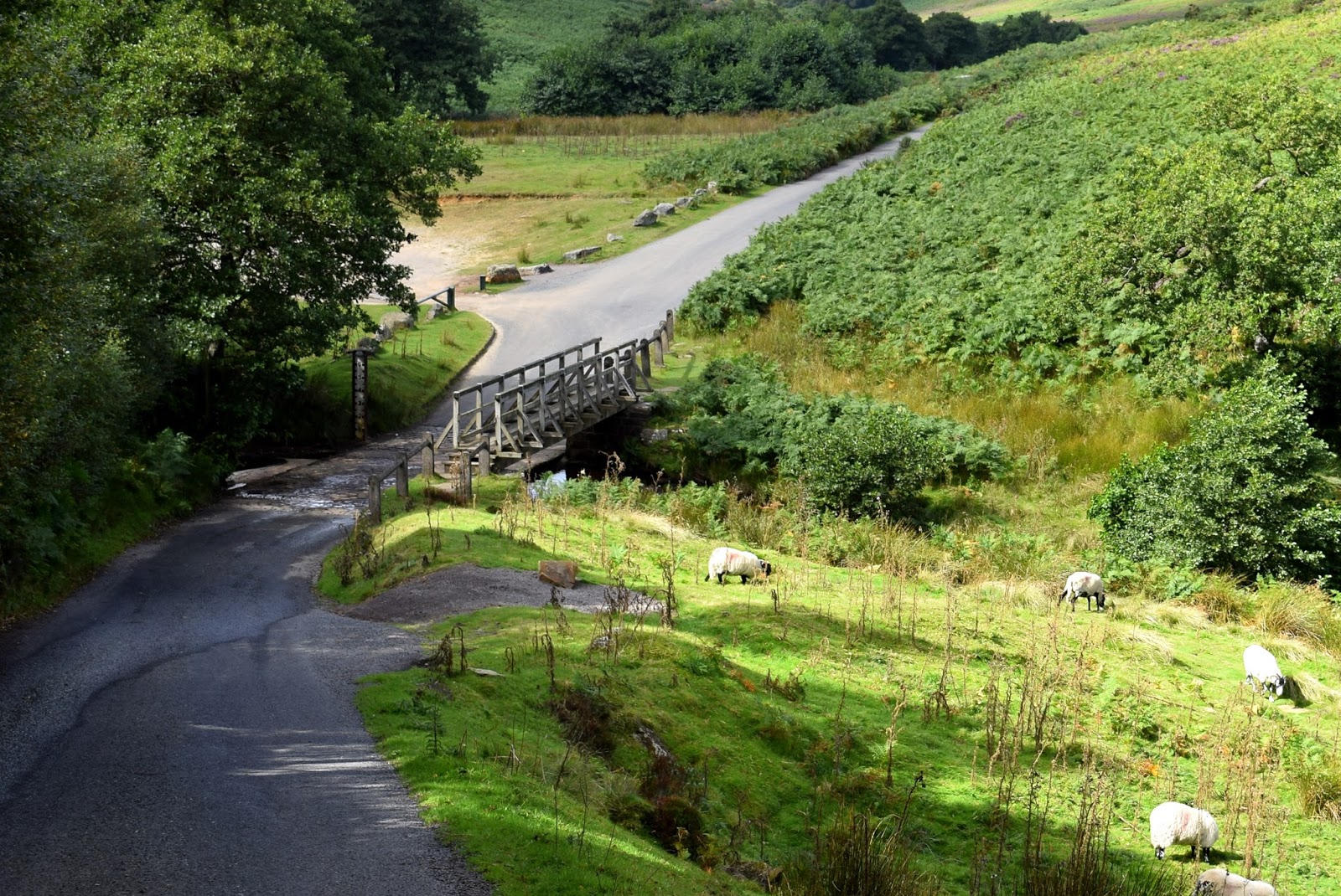
On reaching the road we turned right and walked downhill to the pretty ford at Hob Hole where we selected a flat rock to sit and enjoy our coffee and scones. As it was 11am and still within the school holidays we were surprised to find the beauty spot deserted.
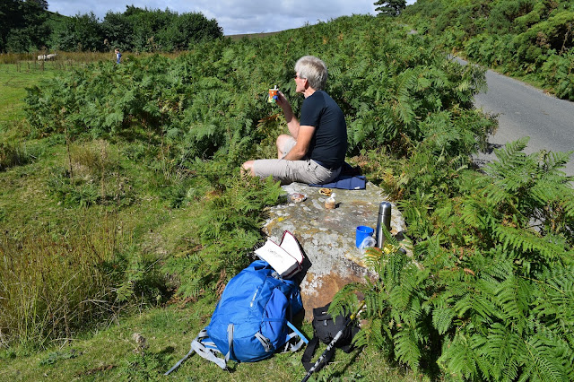 |
| A nice spot for a little something |
 |
| The ford at Hob Hole |
 |
| Looking back as we leave |
Hob Hole was supposed to be the haunt of
a mischievous hobgoblin who taunted weary travellers and TSB reports a
Canon Atkinson speaking of Padfoot, "Padfoot, a precursor of death; sometimes visible, sometimes invisible, but ever and anon padding lightly in the rear of people, then again before them or at their side, and uttering a roar unlike the voice of any known animal."
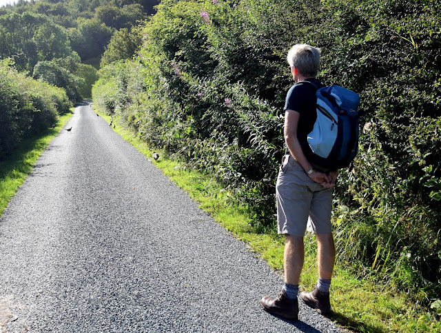
Fortunately there was no sign of Padfoot today and we ate our scones in peace before crossing the ford and heading steeply up the tarmac road, then turning into John Breckon Road. As we walked along this narrow road we had fine views over towards Westerdale.
 |
| Steep uphill from Hob Hole |
 |
| Turning right into John Breckon Road |
 |
| Looking down towards Westerdale from John Breckon Road |
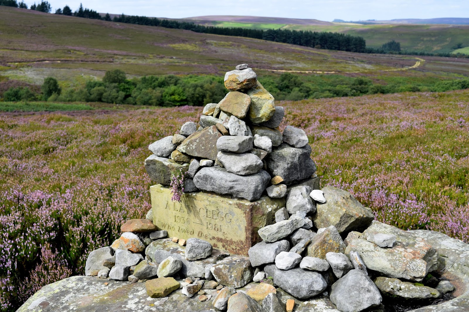
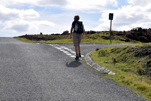
After half a mile or so we turned off John Breckon Road onto
a heather track that returned us back along the opposite side of
Baysdale
Beck, passing a memorial to Alan Clegg 'Who loved these moors'. We
arrived at Great Hograh Beck where there is a small stone footbridge and
a wooden memorial seat, noting that another commemorative brass plaque has been added to the bench since we last passed this way.
TSB says that the footbridge was built in 1938, according to an inscription, and was the work
of Rowland Close, of nearby Low House Farm.
 |
| Turning off John Breckon Road on to the moor |
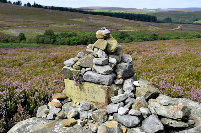 |
| Memorial cairn |
 |
| Memorial bench at Great Hograh Beck |
 |
| A new memorial plaque since our last visit |
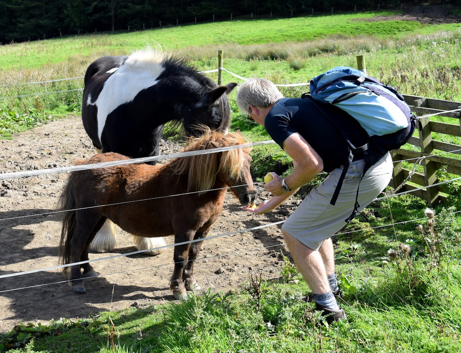
Shortly after the stone bridge we turned
right onto a wide track and followed the path across the moor. We
walked downhill and passed by the above mentioned Low House Farm where Clive fed apples to a horse and a couple of ponies.
 |
| Rowan tree heavy with berries near Great Hograh Beck |
 |
| Approaching Low House |
 |
| Low House |
 |
| Hanging on his every word.... |
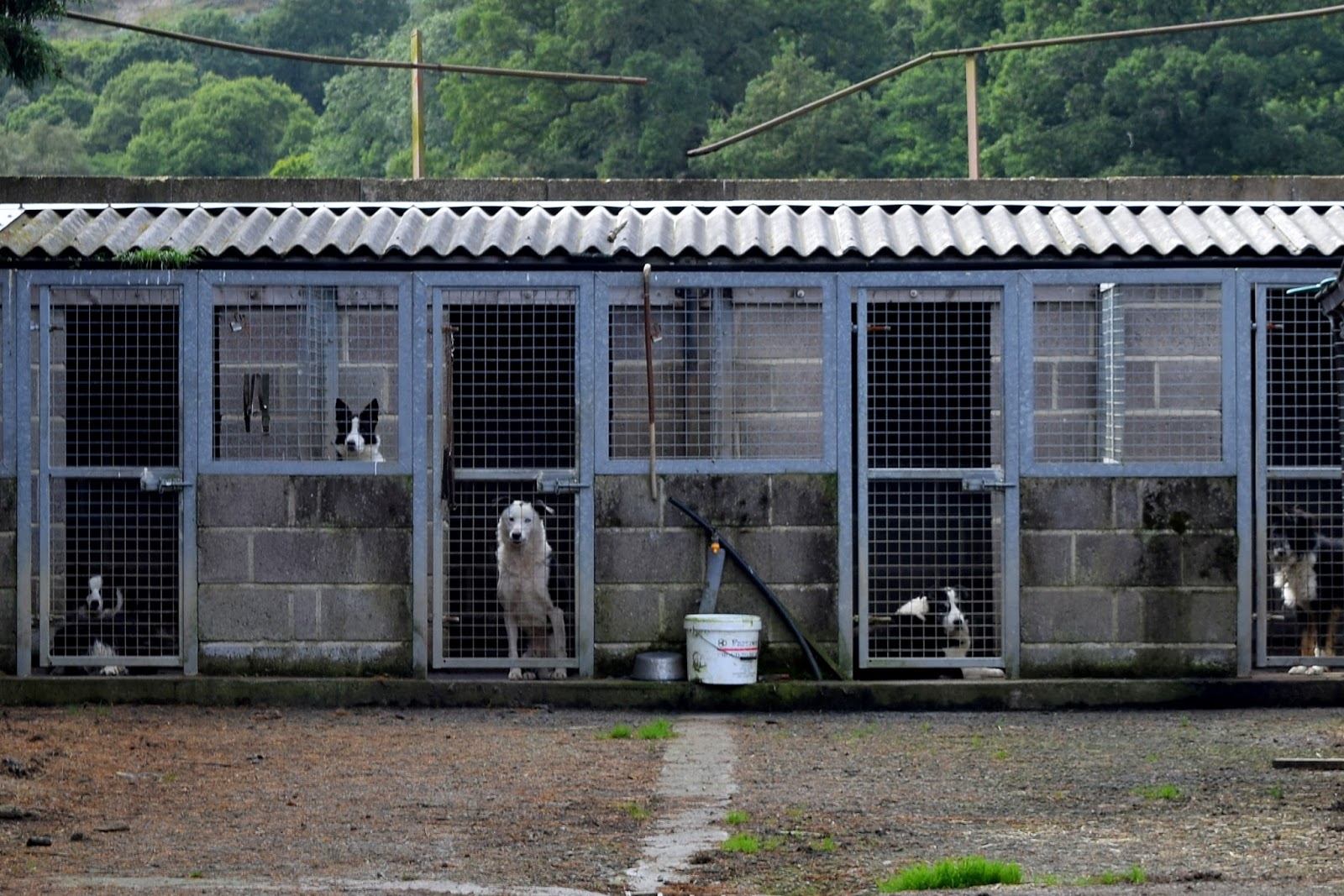
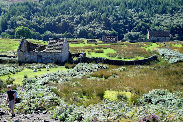
We passed through Thorntree House Farm before reaching the Abbey where we were spotted by a pen of sheepdogs who raised a terrific din.
A short walk took us to the side of
Baysdale Abbey. The original abbey was occupied by 9 or
10 nuns from 1190 to 1539. TSB tells how in 1304 Prioress Joan de Percy had not adhered to the monastic rules and Archbishop Corbridge had to commit the custody of the nuns of Baysdale to Roger de Kellshay, rector of Crathorne. By 1307 Joan was still disobedient and was deprived of her post. She absconded from the abbey with some other nuns and Archbishop Grenfield ordered them back to the abbey "that they return without delay and not go outside the precincts of the abbey and serve God under the yoke of obedience..." Unfortunately TSB doesn't relate how the story ends, did Joan continue with her wild ways or submit to the yoke of obedience?
We were interested to see a bat box on one
of the abbey buildings and then walked away from the buildings across a
quaint stone bridge which is apparently the only substantial remnant of
the original abbey. Crossing the bridge we followed the road to a
footpath sign where we turned right to climb steeply through fields, all
the way to the dale top, at a height of 1050 feet, where we paused to
admire the view back to the abbey and collect our breath.
 |
| Sheepdogs at Baysdale Abbey Farm |
 |
| Bat Box |
 |
| Baysdale Abbey |
 |
| Clive crossing the old bridge |
 |
| The ancient abbey bridge |
 |
| We turn right off the road to climb steeply to the dale top |
 |
| The abbey far below us |
 |
| Turn right and follow the tarmac road |
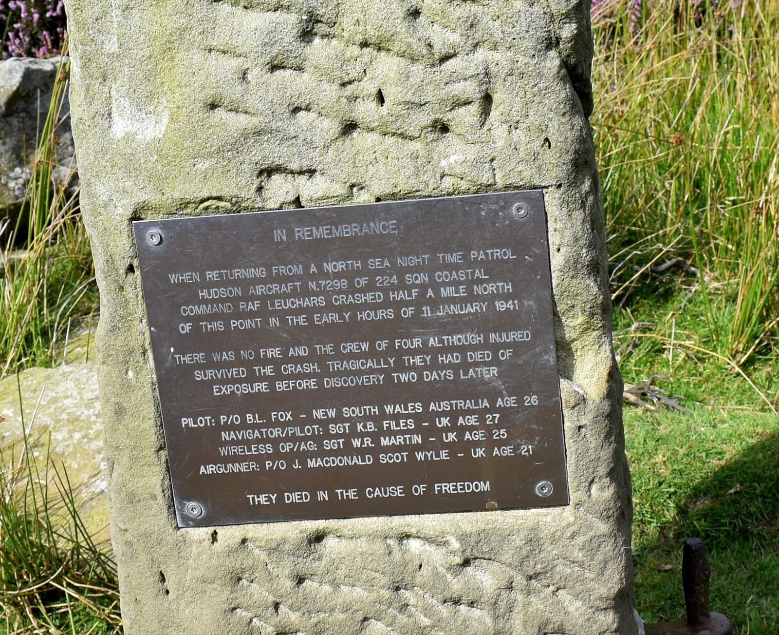
We joined a tarmac road and turned right
to follow it. After a few minutes walking on this road
we saw a stone memorial to the crew of a second world war plane that
crashed on Kildale Moor; sadly the crew died from exposure before
they could be rescued.
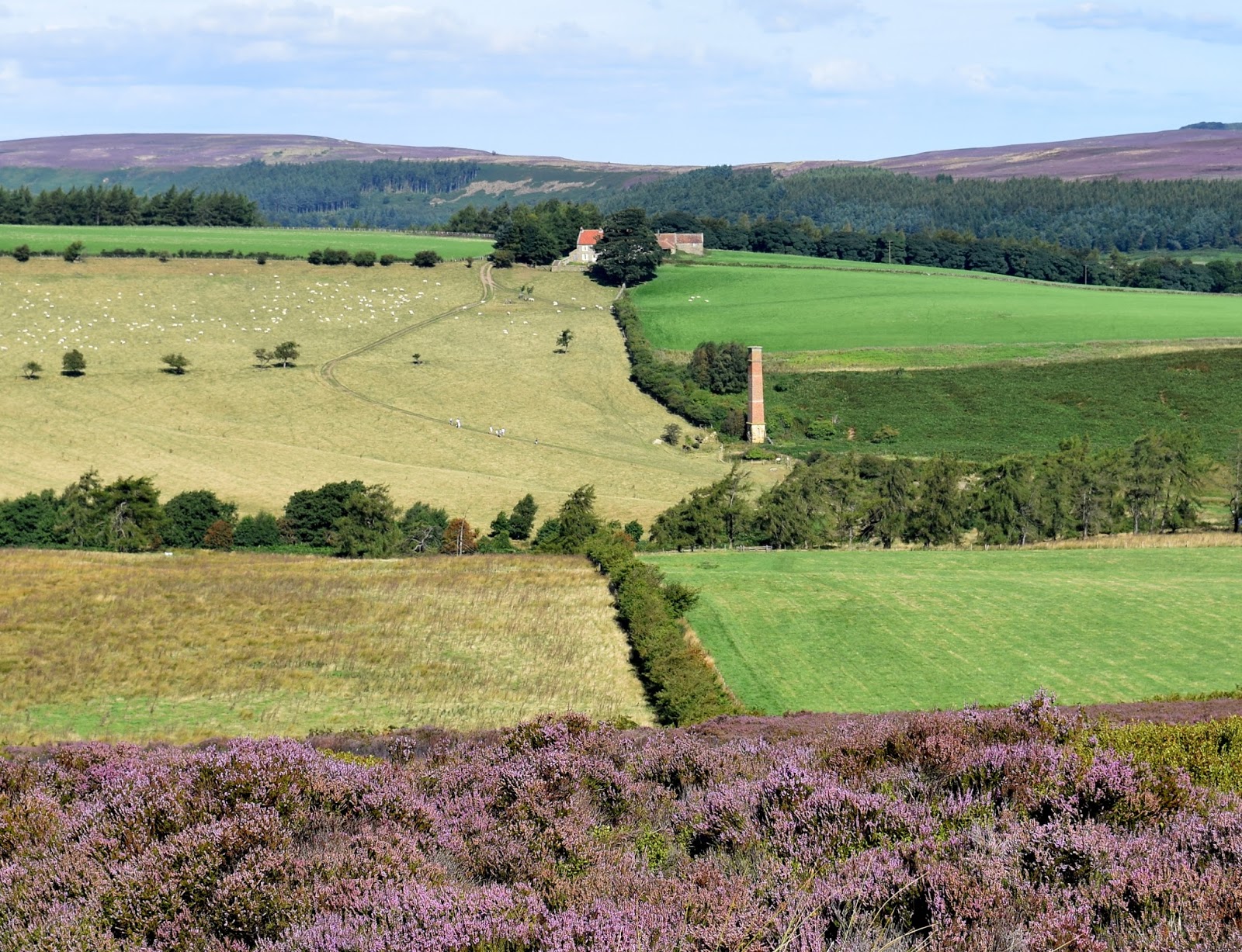
 |
| Looking across towards Battersby |
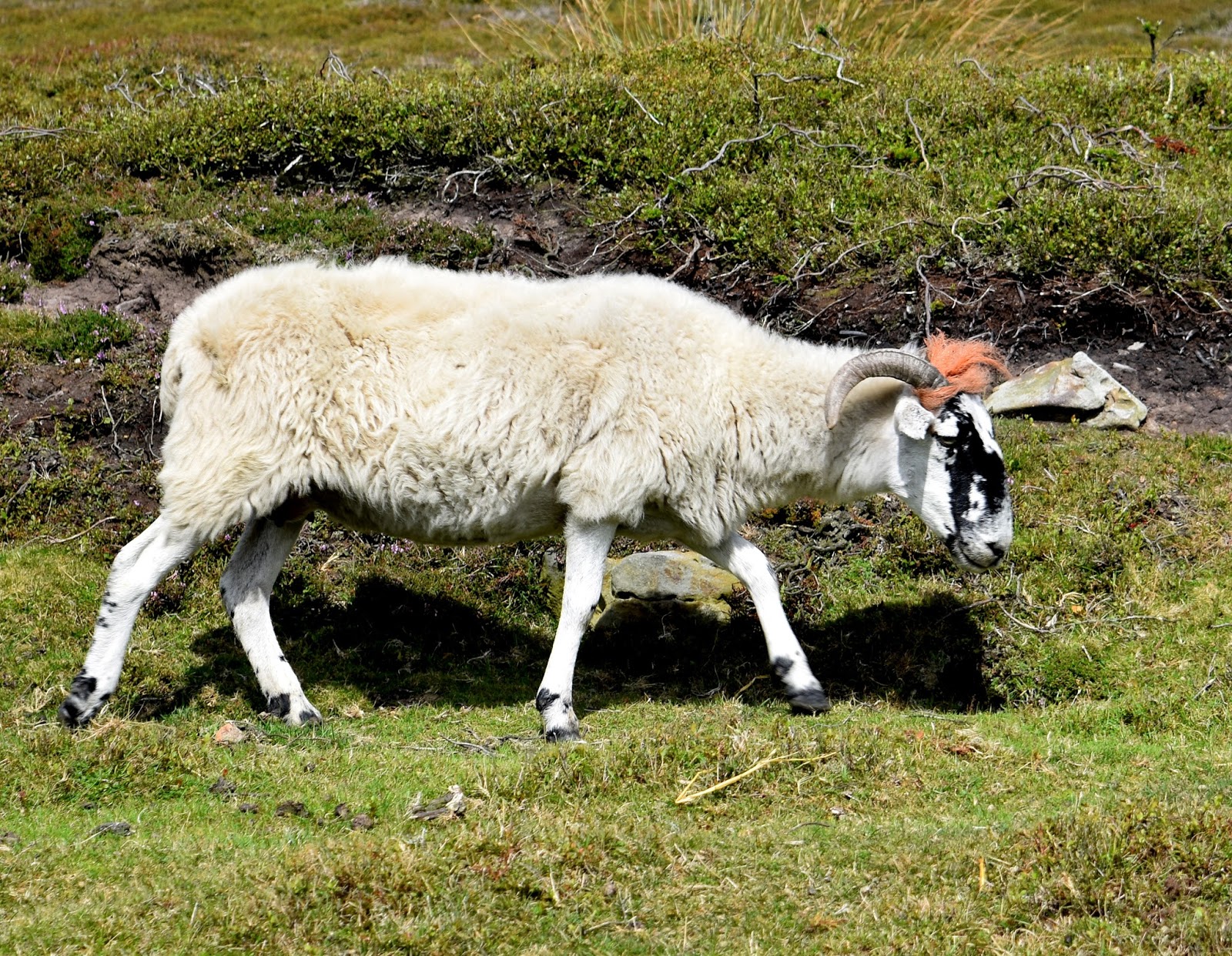
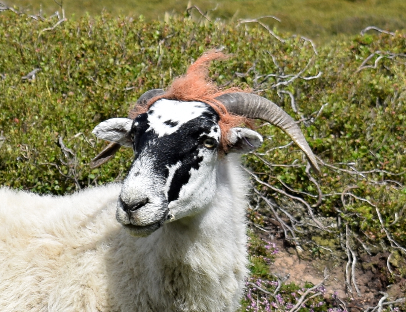
We were amused to see a sheep with a punk hair do. Actually it was orange baling twine and we suspect it must have pushed its head through a fence and got the twine caught around its horns.
 |
| A nice hair-do |
 |
| "I don't think it's funny..." |
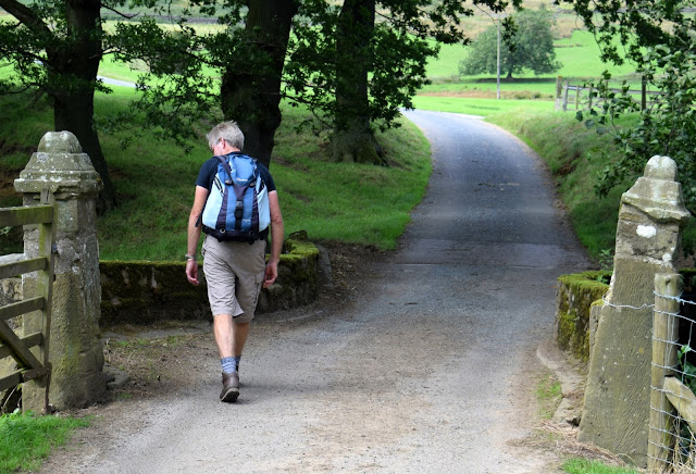
We now had a walk of a couple of miles on tarmac as we descended towards Kildale. At one point we were interested to see rock climbers on the rocky face of Park Nab.
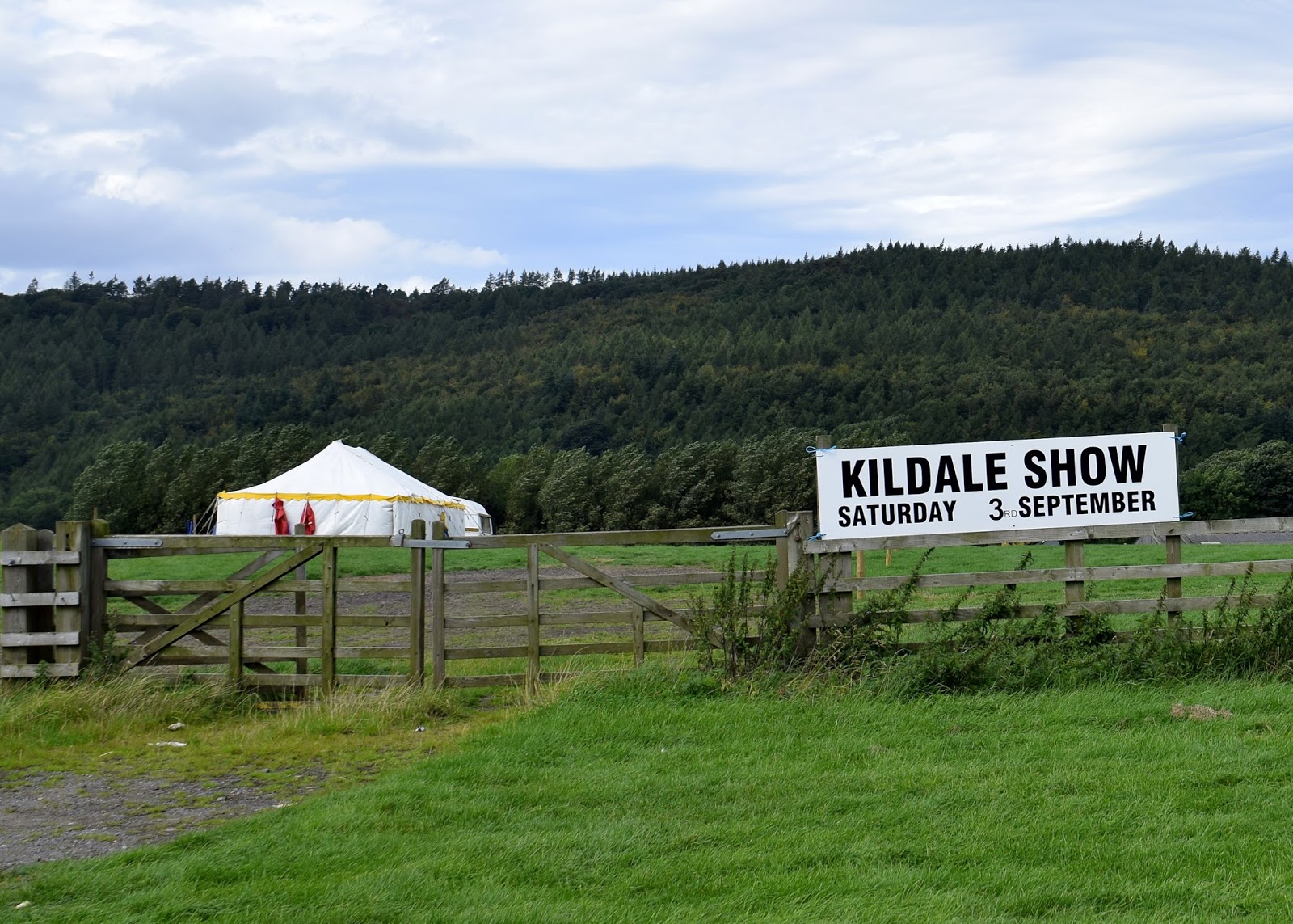
The walk along tarmac was made more interesting by fine weather and fine views towards Battersby and beyond, and we soon reached Kildale and the end of our walk, where preparations were underway for Saturday's village show.
 |
| Climbing on Park Nab |
 |
| Honeysuckle in the hedge |